Other
Marine Geoscience Data System: Tools: Create Maps and Grids
Create your own custom maps and grids with the map tool available on this site.
New York Times
New York Times: Crossword Puzzle: Latitude & Longitude
Here is an interactive & printable crossword puzzle developed by the New York Times Learning Network. The theme of this puzzle is Latitude & Longitude.
Ducksters
Ducksters: Earth Science for Kids: Topography
Kids learn about the Earth science subject of topography including features such as landforms, elevation, latitude, longitude, and topographical maps.
Center for Literacy and Disability Studies, University of North Carolina at Chapel Hill
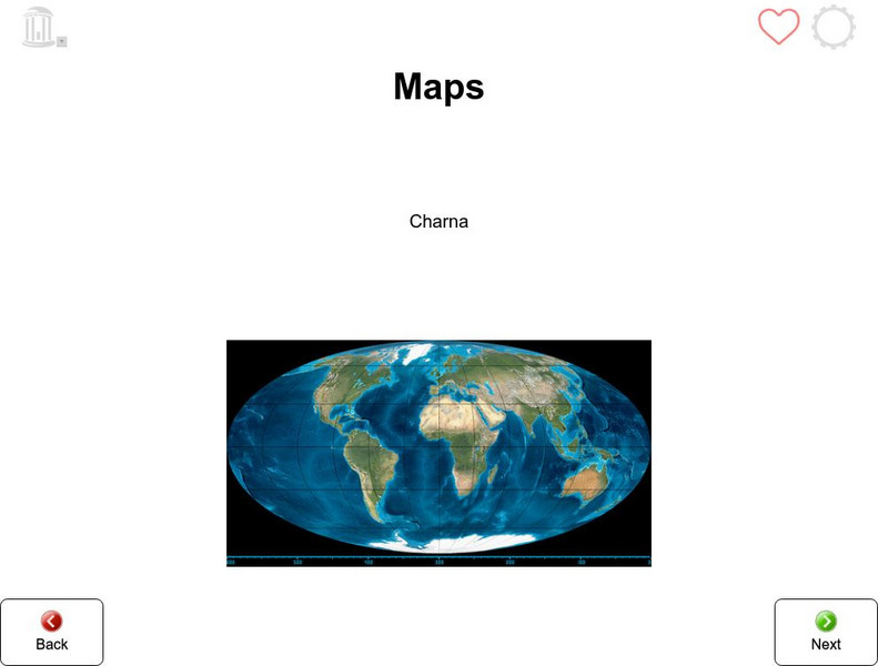
Tar Heel Reader: Maps
X marks the spot! Maps tell us many things which are illustrated in this informational text.
Center for Literacy and Disability Studies, University of North Carolina at Chapel Hill
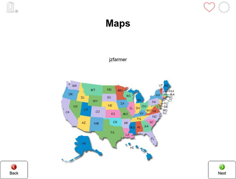
Tar Heel Reader: Maps (3)
Purposes, parts, and types of maps are featured for students to explore.
TeachEngineering
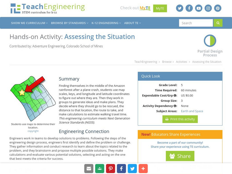
Teach Engineering: Assessing the Situation
In this activity, students will use the scale, the key, and longitude and latitude on a map to determine where they have crashed. They will then use the map scale to determine the distance to the nearest city and how long it will take...
ClassFlow
Class Flow: Parts of a Map
[Free Registration/Login Required] This flipchart explores the basic parts of a map including the map title, compass rose and map legend.
ClassFlow
Class Flow: The Mississippi River
[Free Registration/Login Required] Learn about the Mississippi River and how to read Maps.
Other
Venezuela: Geografia
This site from Venezuelatuya.com shows maps of the different geographical and political divisions of Venezuela. The first maps show geographical divisions. The last map shows political/administrative divisions along with Venezuela's...
ClassFlow
Class Flow: Ubi in Pompeiis?
[Free Registration/Login Required] Place the characters in various parts of Pompeii to check your knowledge of this ancient Roman town.
ClassFlow
Class Flow: Western Europe
[Free Registration/Login Required] I have created a brief flip chart to introduce my students to Western Europe. I have 3 different maps of Europe and slides on each of the Western European Countries.
ClassFlow
Class Flow: Maps and Globes
[Free Registration/Login Required] This flipchart reviews map and globe features. The seven continents, four oceans, and city-county-state-country relationships are also explained. Student assessment on directions is included.
ClassFlow
Class Flow: 13 Colonies Map
[Free Registration/Login Required] This flipchart reviews the composition of the thirteen original colonies and asks students to identify the colonies on a map.
ClassFlow
Class Flow: Asia Map Game
[Free Registration/Login Required] Students use prior knowledge to uncover locations in Asia using a map detailed in this flipchart.
ClassFlow
Class Flow: Florida Map With Counties
[Free Registration/Login Required] This flipchart features a Map of the counties in Florida.
ClassFlow
Class Flow: Introduction to Maps
[Free Registration/Login Required] Students are expected to: explain the purpose of a map; identify and use a compass rose; use a grid to locate objects on maps; and use a map key. Activities are hands-on with students manipulating...
ClassFlow
Class Flow: Map Key
[Free Registration/Login Required] This flipchart introduces the purpose of a map, map symbols, and the map key or legend. Activote questions reinforce the concepts.
ClassFlow
Class Flow: Map Skills Germany
[Free Registration/Login Required] In this lesson map skills are reinforced by identifying physical features in Germany. Mountains, rivers, lakes, and land elevation are discussed. Political maps identify population and cities.
ClassFlow
Class Flow: Maps of the United States
[Free Registration/Login Required] This is a collection of physical and political maps of the United States broken up by region.
Central Intelligence Agency
Cia: World Factbook: Wallis and Futuna
This site from the CIA World Factbook provides information about the economy, government and location of these two islands. What's there is quite good, but about half the categories are "not available".
That Quiz
Geografia Africa: That Quiz: Africa
Interactive practice to learn the countries of Africa. It keeps track of right and wrong answers and the time in which it takes to identify the maps.
That Quiz
Geografia Asia: That Quiz: Asia
Interactive practice test to aid in identifying the countries of Asia on a map. Test is timed and counts right and wrong answers.
Other
Mind Maps
A list of bullet points detailing how to create a helpful and informational mind map. A good resource for learning about the organizational tool; includes an example.
Quizlet
Quizlet: Non Fiction Text Features 3rd Grade Match
Text feature terms (nonfiction) are included in this review "Match" game. Questions are provided for the following words: map, table of contents, index, bold words, caption, timeline, heading, and glossary. Images of each of these text...


