National Geographic
National Geographic: Mission: Explore: Geography Awareness Week
Learn about geography in an entirely new way with short adventures for all ages. Each mission is an exciting and challenging exploration is which you will see the world in new ways.
PBS
Pbs Learning Media: Primary Source: Environmental Preservation Progressive Era
This collection uses primary sources to environmental preservation in the Progressive Era.
PBS
Pbs Learning Media: 50 States Part 2 Lesson Plan
In this lesson, students combine psychomotor skills and geography as they travel from Montana to Wyoming. As students travel from state to state, they learn regional facts and state capitals. Students perform physical tasks highlighting...
PBS
Pbs Learning Media: 50 States Part 1 Lesson Plan
In this lesson, students travel virtually to 25 different states from Alabama to Missouri. While on their journey students explore geography, learn state capitals and interesting facts along the way. Movements are unique and incorporate...
Other
The Museum of the World
Students can explore this iconic museum with exhibits dedicated to everything from Egyptian mummies to the Rosetta Stone and Egyptian mummies.
ibiblio
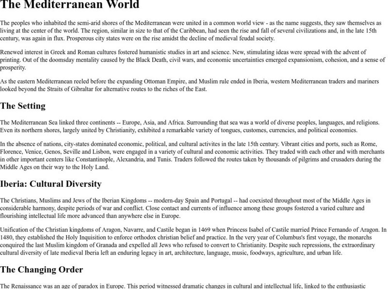
Ibiblio: The Mediterranean World
This website contains information about the people using the Mediterranean during the Renaissance. Mentions cultural diversity, humanism, economics and port cities. Includes the setting, cultural diversity, and changing order of the...
Library of Congress
Loc: Portuguese Mapping the New World
The Library of Congress provides a discussion of the importance of Portugal in the "European Age of Discovery and Exploration." Includes links to related pages within this same Library of Congress site.
Houghton Mifflin Harcourt
Harcourt: School Publishers: You're a Grand Old Flag
"Every country has a flag. A flag stands for a country and the people who live there. What do you know about flags? Click on one of the choices to find out more."
National Endowment for the Humanities
Neh: Edsit Ement: Mapping Our Worlds
In this activity, introduce your learners to the world of maps and discover a world of information online. Students learn how to identify different types of maps, comparing maps to the rooms of a house.
Johns Hopkins University
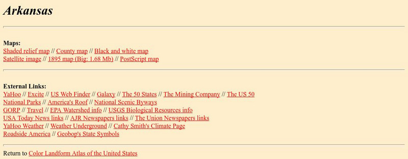
Johns Hopkins University: Arkansas State Maps
Learn more about the Arkansas' geography through the maps at this website from the Johns Hopkins University Applied Physics Laboratory. These maps give in depth information on the landforms found in Arkansas.
Johns Hopkins University
Johns Hopkins University: Arkansas State Maps
Learn more about the Arkansas' geography through the maps at this website from the Johns Hopkins University Applied Physics Laboratory. These maps give in depth information on the landforms found in Arkansas.
Massachusetts Institute of Technology
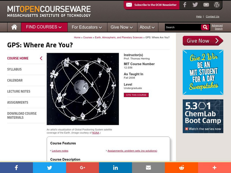
Mit: Open Course Ware: Gps: Where Are You?
A basic course from MIT on how a Global Positioning System(GPS)works, and the many new applications for using it. Includes lecture notes and assignments.
Arizona State University
Arizona Geographic Alliance: Geo Literacy
Included in this database are lessons from the GeoLiteracy project. For all the materials you'll need to use a lesson, click a grade level and then on the lesson's name.
E-learning for Kids
E Learning for Kids: Science: Antarctica: What Is Position and Reference Point?
With all the snow and ice in Antarctica, it's easy to get lost. Help Tim find his way using a map and a compass.
University of Washington
Visual Sourcebook for Chinese Civilization: Map of Yuan Dynasty
See this map of the Four Khanates of the Mongol Empire, of which the Great Khanate made up the territory of Yuan Dynasty.
University of Washington
Visual Sourcebook for Chinese Civilization: Map of Song Dynasty
A map of the Song Dynasty showing elevation of the area and cities.
HyperHistory Online
Wold History: World Map: Ottoman Empire
This map shows the Ottoman Empire as part of the world, 1500-1800. Click the buttons to view the world in other historic periods.
The British Museum
British Museum: Maps of Ancient Egypt
Using the drop down menu you can select a variety of different maps to explore. Provides good maps and definitions of vocabulary.
US National Archives
Nara: A New Deal for the Arts: Rediscovering America
As part of the artistic nationalism that took place during the Great Depression, this website from the National Archives and Records Administration focuses on many American scenes. Lots of focus on small-town life and various regions.
US Department of Education
U.s. Dept. Of Education: Let's Do Geography!
From the U.S. Department of Education, this site is a good resource for parents and teachers of students Pre-K through 6th grade to help them to learn about Geography. Helpful hints and ideas are broken down into three age groups.
Texas Instruments
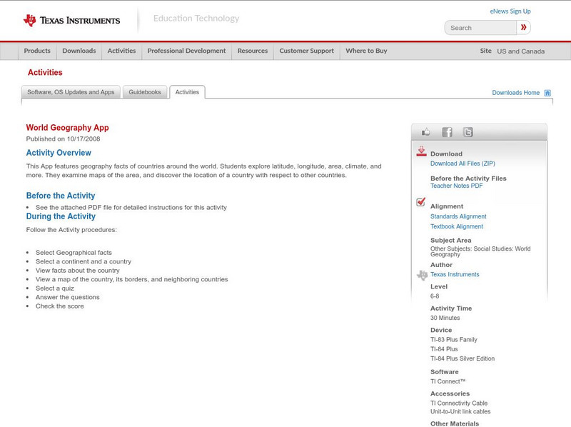
Texas Instruments: World Geography App
This classroom activity features geography facts of countries around the world. Students explore latitude, longitude, area, climate, and more. They examine maps of the area, and discover the location of a country with respect to other...
Next.cc
Next: Biomes
Multiple activities help students gain a better understanding of land and water biomes.
Science Education Resource Center at Carleton College
Serc: Ecology/geography Classification
This outdoor lesson plan helps students better understand ecological and geographical classifications by teaching it simultaneously in science and geography class. Presenting the two classifications together will help reinforce the idea...
Writing Fix
Writing Fix: The Wacky Geography Scrapbook
Inspired by Barry Lane's book 51 Wacky We-Search Reports, in this cross-curricular lesson learners learn how to summarize properly.


