Other
Postcards From America
Sign up to receive postcards by e-mail from a teacher and a photographer who are touring America. Share their thrill at each new site they photograph while discovering America.
Other
Edublog: Dalton School: Rome Project
Looking for data about Classical Rome, check out the resources provided by The Dalton School.
Other
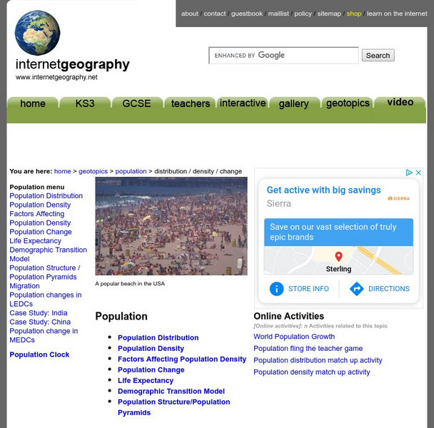
Population
Population directly effects our everyday lives in many ways. Explore the effects of population by learning about population density, population distribution, and population change.
Other
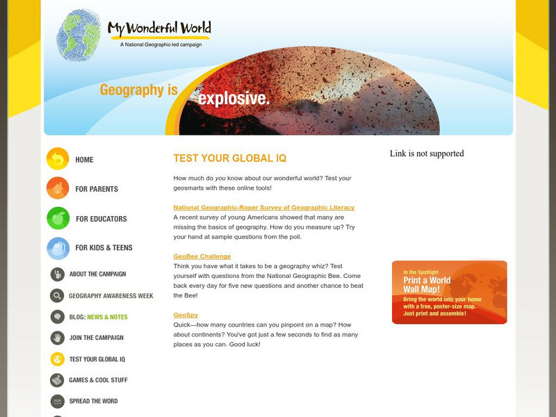
My Wonderful World: Test Your Global Iq
Find out how much you know about our wonderful world by taking these online geography tests. Choose from "GeoBee Challenge", "GeoSpy", or "National Geographic-Roper Survey".
Other
Jules Verne Voyager
Jules Verne Voyager is an interactive map tool for virtual exploration and comparative planetology of Earth and other worlds. Examine map creation with fully interactive pan and zoom accessing an extensive image selection.
US Geological Survey
Non Renewable Resources
Learn how to enhance economic development and growth. Learn the role of the United States Geographic Survey on locating, quantifying and qualifying non-renewable resources.
US Geological Survey
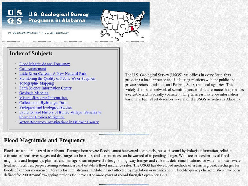
Geological Survey: Activities in Alabama
This resource presents current information regarding the US Geological Survey activities in Alabama.
Oxfam
Oxfam: Cool Planet: Brazil Geography
An overview of the geography of the South American country of Brazil.
Oxfam
What Is the Meridian Line?
What is the meridian line? Find out and see all the countries it runs throughout. Obtain information on the creation of standard time.
Vocabulary University
My vocabulary.com: Geography
This page offers a variety of vocabulary puzzles and activities using 52 vocabulary words pertaining to Geography. It also provides an extensive vocabulary word list for Geography and lesson plan ideas.
University of Calgary
European Voyages of Exploration: Geography and Cartography
This site provides information on mapmaking and cartograohy of the early explorers. Includes pictures of maps.
University of Calgary
Greek Colonization of the Mediterranean
Interesting map of Greek colonization around 650 B.C. Also includes areas of Etruscan and Phoenician settlements.
University of Calgary
The Islamic World to 1600: The Safavid Empire
This page comes from the University of Calgary and thoroughly describes the Safavid Empire as well as provides a clickable map detailing the areas included within their empire.
Keene College
Keene State College: Regions Change
Students will find real examples of regions that changed and why the change happened. They will then write a story about why a region changed over time, giving the geographic factors (physical and human) responsible for the change.
United Nations
United Nations Cyberschoolbus: Pais a Un Vistazo
Country information at-a-glance from the UN's site for children. In Spanish. Select a country to see its location, major cities, population statistics, links to country newspapers, UN mission contact information, and economic, health,...
Other
Valparaiso University: Friedrich Ratzel: German Geographer
Biographical examination of Friedrich Ratzel. The authors present extremely detailed information on Ratzel's life and his works.
Other
Valparaiso University: Carl Ritter
This site from the Valparaiso University provides information on Carl Ritter and Alexander von Humboldt, two famous geographers.
Biblioteca Virtual Miguel de Cervantes
Biblioteca Virtual Miguel De Cervantes: Peru
This resource site in Spanish from the Biblioteca Virtual Miguel de Cervantes for the country of Peru. The flag and a general map of the country are included. Of particular interest is the statistical data available on land size,...
Biblioteca Virtual Miguel de Cervantes
Biblioteca Virtual Miguel De Cervantes: Uruguay
This resource site from the Biblioteca Virtual Miguel de Cervantes in Spanish for the country of Uruguay. The flag and a general map of the country are included. Of particular interest is the statistical data available on land size,...
Biblioteca Virtual Miguel de Cervantes
Biblioteca Virtual Miguel De Cervantes: Ecuador
This resource site from Biblioteca Virtual Miguel de Cervantes in Spanish for the country of Ecuador. The flag and a general map of the country are included. Of particular interest is the statistical data available on land size, climate,...
Biblioteca Virtual Miguel de Cervantes
Biblioteca Virtual Miguel De Cervantes: Puerto Rico
Bibliotica Virtual Miguel de Cervantes is an excellent resource site in Spanish for Puerto Rico. The flag and a general map of Puerto Rico are included. Of particular interest is the statistical data available on land size, climate,...
Biblioteca Virtual Miguel de Cervantes
Biblioteca Virtual Miguel De Cervantes: Panama
Excellent resource site from the Bibliotica Virtual Miguel de Cervantes in Spanish for the country of Panama. The flag and a general map of the country are included. Of particular interest is the statistical data available on land size,...
Biblioteca Virtual Miguel de Cervantes
Biblioteca Virtual Miguel De Cervantes: Nicaragua
This resource site from Biblioteca Virtual Miguel de Cervantes in Spanish is for the country of Nicaragua. The flag and a general map of the country are included. Of particular interest is the statistical data available on land size,...
Biblioteca Virtual Miguel de Cervantes
Biblioteca Virtual Miguel De Cervantes: Venezuela
This resource site from Biblioteca Virtual Miguel de Cervantes in Spanish for the country of Venezuela. The flag and a general map of the country are included. Of particular interest is the statistical data available on land size,...


