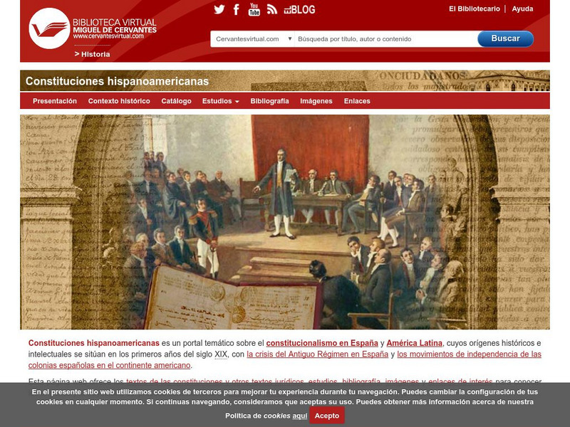
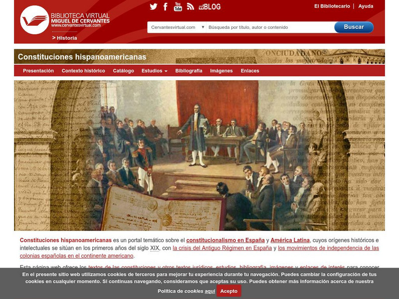
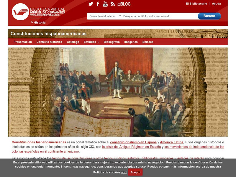
Biblioteca Virtual Miguel de Cervantes
Biblioteca Virtual Miguel De Cervantes: Guatemala
This resource site from Biblioteca Virtual Miguel de Cervantes in Spanish is for the country of Guatemala. The flag and a general map of the country are included. Of particular interest is the statistical data available on land size,...
Biblioteca Virtual Miguel de Cervantes
Biblioteca Virtual Miguel De Cervantes: Argentina
This resource site from Bibliotica Virtual Miguel de Cervantes in Spanish for the country of Argentina. The flag and a general map of the country are included. Of particular interest is the statistical data available on land size,...
Biblioteca Virtual Miguel de Cervantes
Biblioteca Virtual Miguel De Cervantes: Honduras
This resource site from Biblioteca Virtual Miguel de Cervantes in Spanish for the country of Honduras. The flag and a general map of the country are included. Of particular interest is the statistical data available on land size,...
Biblioteca Virtual Miguel de Cervantes
Biblioteca Virtual Miguel De Cervantes: Chile
This resource site from Bibliotica Virtual Miguel de Cervantes in Spanish for the country of Chile. The flag and a general map of the country are included. Of particular interest is the statistical data available on land size, climate,...
Biblioteca Virtual Miguel de Cervantes
Biblioteca Miguel De Cervantes: Republica Dominicana
This Bibliotica Virtual Miguel de Cervantes site in Spanish for the Dominican Republic provides a wealth of information, including the national flag, a map, holidays, and statistical data on land size, climate, population, life...
University of Texas at Austin
Perry Castaneda Library Map Collection: Historical Maps of Russia
This outstanding collection of historical maps contains a wide variety of maps from various parts of the Soviet Union as well as the former Soviet Republics, and from different parts of history. Each map is accompanied by a brief...
Information Technology Associates
Iceland: Geography
This site provides general information on Iceland.
Bartleby
Bartleby.com: Short History of the World: Map of Median and Chaldean Empires
This is a map from H.G. Wells' important book, "A Short History of the World," showing the relationship between the Chaldean Empire under Nebuchadnezzar and the empire of the Medes.
Franco Cavazzi
Roman empire.net: Roman Empire Map
This site from Roman-Empire.net provides an interactive map of the Roman Empire. The expanse of the empire can be viewed by dates. The site can be searched by Provinces, Territories, Tribes, Towns, Cities, or Barbarian Incursions.
Franco Cavazzi
Roman Empire: The City of Rome
At this site from the Roman Empire, The Forum is explained, from its early beginnings to the later days of the Republic. This site colorfully describes the people, shops, markets, and the "Subura."
Antonio Salinas and Maria Jesus Egea
Vedoque: Geografia De America
This game is about the various countries of America. It has questions about their locations on the map, their capitals and their flags.
Antonio Salinas and Maria Jesus Egea
Vedoque: Geografia De Europa
This game is about the various countries of Europe. It has a set of questions about their locations on the map, their capitals and their flags.
Tom Richey
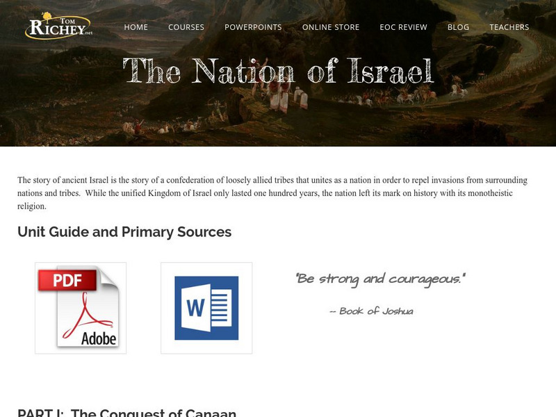
Tom Richey: The Nation of Israel: C. 1200 586 b.c.
Learning module in which AP history teacher, Tom Richey, tells the story of the ancient Israelites illuminating the significant impact they had on the region and the world. Includes unit material, lecture notes, videos and primary sources.
National Geographic
National Geographic: My Wonderful World: Geography Is 10 Cool Things
Why is geography important? You will find 10 reasons that answer this question on this concise but informative site.
National Geographic
National Geographic: Celebrate Geography Awareness Week
Geography Awareness Week (GAWeek)was created in 1987 as a time for families, students, teachers, and the general public to promote and celebrate the study of geography.
National Geographic
National Geographic: Geostories: Geography on the Job
Each story point in this Geostory includes images, a short bio, and an interactive mapping tool that allows students to see the regions where geography work takes place.
National Geographic Kids
National Geographic Kids: Find People and Places: Australia
Click-through facts-and-photo file about Australia's geography, nature, history, people, culture, and government. Includes a map of the country that pinpoints its Pacific location and a video about ancient rock paintings made by the...
Soft Schools
Soft Schools: Geography/map Skills Quiz
In this ten question quiz, students can assess their understanding of key geographical features on maps.
Ducksters
Ducksters: Alabama State History for Kids
Kids learn about the history and timeline of the state of Alabama including early explorers, Native Americans, the Civil War, and Civil Rights.
World History Encyclopedia
World History Encyclopedia: Bactria
Illustrated encyclopedia entry defines and explores the history of Bactria, a province of the Persian Empire.
National Geographic Kids
National Geographic Kids: Ghana
Click-through facts-and-photo file about Ghana's geography, nature, history, people and culture, and government. Includes a map of the country that pinpoints its African location.
National Geographic Kids
National Geographic Kids: Guatemala
Click-through facts-and-photo file about Guatemala's geography, nature, history, people and culture, and government. Includes a map of the country that pinpoints its Central American location and a video of a bat falcon, a resident...
National Geographic Kids
National Geographic Kids: Israel
Click-through facts-and-photo file about Israel's geography, nature, history, people and culture, and government. Includes a map of the country that pinpoints its Middle East location.
National Geographic Kids
National Geographic Kids: The Netherlands
Click-through facts-and-photo file about the geography, nature, history, people, culture, and government of the Netherlands. Includes a map of the country that pinpoints its European location on the western coast of the continent.


