Other
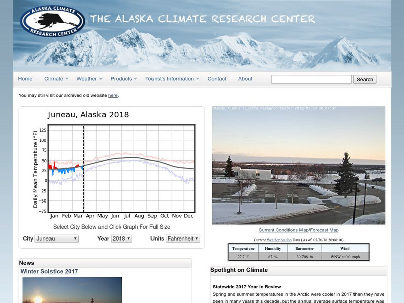
The Alaska Climate Research Center
See the current and past weather conditions of Alaska. Take a look at a webcam set up in Fairbanks, Alaska for current conditions.
Other
Polar Bears International: Bear Tracker
Using this tool, students can watch polar bears as they travel across the sea ice to hunt seals. The Bear Tracker also shows current and past sea ice extents on Hudson Bay, along with the locations of polar bears.
Center for Innovation in Engineering and Science Education, Stevens Institute of Technology
Ciese: Tsunami Surge
In this Science project, students use real time data on the Internet to study tsunamis and what causes them. They will look at videos of real tsunamis such as the 2004 one in Southeast Asia. They will then devise a safety plan and a...
Center for Innovation in Engineering and Science Education, Stevens Institute of Technology
Ciese: Air Pollution: What's the Solution?
Outdoor air pollution poses a major threat to human health and threatens the ozone layer. Students will examine real time weather data in this extensive unit to learn how air quality is measured, its health impact on at-risk populations,...
Other
Climate Change Institute: Climate Reanalyzer
Using interfaces for reanalysis and historical station data, the Climate Reanalyzer provides an intuitive platform for visualizing a variety of weather and climate data sets and models.
Incorporated Research Institutions for Seismology
Iris: Station Monitor
Students can type in their zip code to find and explore the nearest live earthquake station data.
Incorporated Research Institutions for Seismology
Iris: Seismic Monitor
Seismic Monitor allows you to monitor global earthquakes in near real-time, visit seismic stations around the world, and search the web for earthquake or region-related information.
Incorporated Research Institutions for Seismology
Iris: Earthquake Browser
A live, real-time data global map of all current earthquake activity.
Center for Innovation in Engineering and Science Education, Stevens Institute of Technology
Ciese: Stowaway Adventure Project
For this project students will learn how to track a real ship across the ocean and use real time marine data, including weather patterns, to predict when it will reach its destination. Teachers have the additional option of enrichment...
US Geological Survey
U.s. Geological Survey: Real Time Earthquake Map
An interactive, real-time map showing current earthquakes happening all over the world. Students may choose options for which earthquakes to display by age, depth, magnitude, or intensity.
Science Education Resource Center at Carleton College
Serc: How Well Can Hand Size Predict Height?
This activity uses student's own data to introduce bivariate relationship using hand size to predict height. Young scholars enter their data through a real-time online database. Data from different classes are stored and accumulated in...
Other
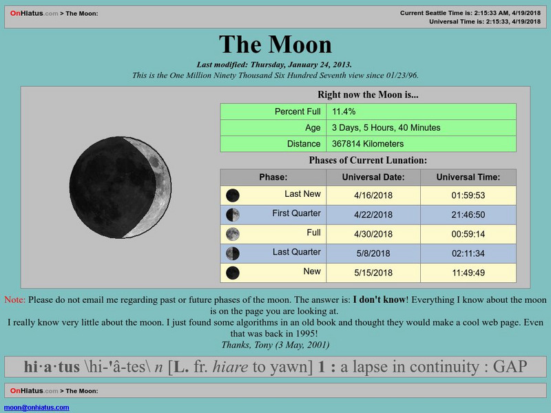
On Hiatus: The Moon
This commercial site [without any advertising] provides a diagram of the current illumination of the Moon, and the dates of the most recent and upcoming New, Quarter, and Full Moon phases. All dates and times are in universal Time, only.
American Geosciences Institute
American Geosciences Institute: Earth Science Week: Water: A Never Ending Story
Students carry out a number of activities that demonstrate the concepts of evaporation, condensation, precipitation, and soil moisture and runoff. Then students construct a terrarium as a way to observe the water cycle. Immediately...
Incorporated Research Institutions for Seismology
Iris: J Ama Seis
jAmaSeis facilitates the study of seismological concepts in middle school through introductory undergraduate classrooms. Users can obtain and display seismic data in real-time from either a local instrument or from remote stations.
Incorporated Research Institutions for Seismology
Iris: Recent Earthquake Teachable Moments
Live links to the data from the most recent earthquakes around the globe.


