Curated OER
The Birthplace
Students use a world map, to identify the country of origin of the target language and other countries and areas where the largest language is on e of the principal languages. They complete this assessment orally using a world map.
Curated OER
Geography: Mapping Newspaper Coverage
Students examine the locations of stories appearing in newspapers and determine where to assign reporters. Using various maps, they connect the stories to the correct maps and create charts of the story locations. Students explain their...
Curated OER
ADULT ESOL LESSON PLAN--Environment and the World
Students locate and trace Florida on a United States map as well as their local counties and city of residence on a state map. In addition, they label all the directions north, south, east and west on each map.
Houghton Mifflin Harcourt
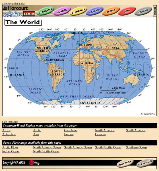
Harcourt: School Publishers: World Atlas: The World
Provides continent, country, and ocean floor maps from all over the world. Click on a continent's name to access the detailed maps which also include statistical facts on each available country.
Smithsonian Institution
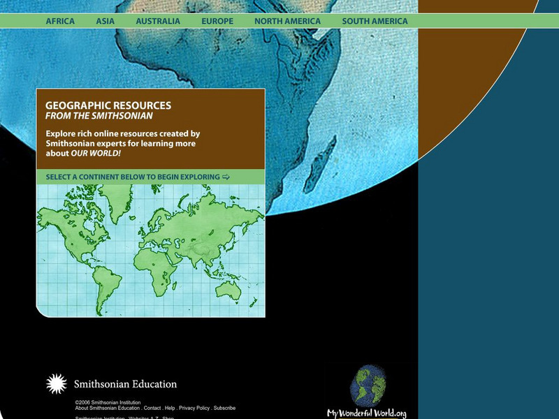
Smithsonian Education: My Wonderful World
Interactive map of the world in which students select a continent and begin exploring using online resources from the Smithsonian Institute.
National Endowment for the Humanities
Neh: Edsit Ement: Mapping Our Worlds
In this lesson, introduce your young scholars to the world of maps and discover a world of information online. Students learn how to identify different types of maps, comparing maps to the rooms of a house.
Soft Schools
Soft Schools: Map of the 7 Continents of the World Game
A quick game where students drag and drop the name of each continent onto the correct location on an interactive world map.
Information Technology Associates
Information Technology Associates: Quick Maps
View countries of the world. Maps are quick and easy to read. Some are designed to be printed out for coloring and/or labeling.
Other
Metrocosm: How We Share the World
In this geographic interactive, students can visualize the world via the following six ways: GDP, government debt, population, births, wealth and billionaires.
Read Works
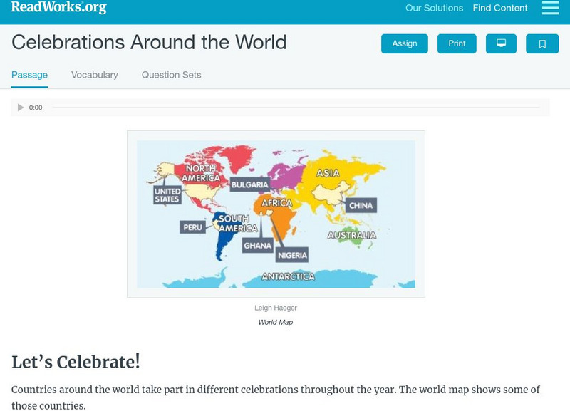
Read Works: Celebrations Around the World
[Free Registration/Login Required] Students read about festivals and celebrations from different countries around the world. A question sheet is available to help students build skills in classifying and categorizing.
Read Works
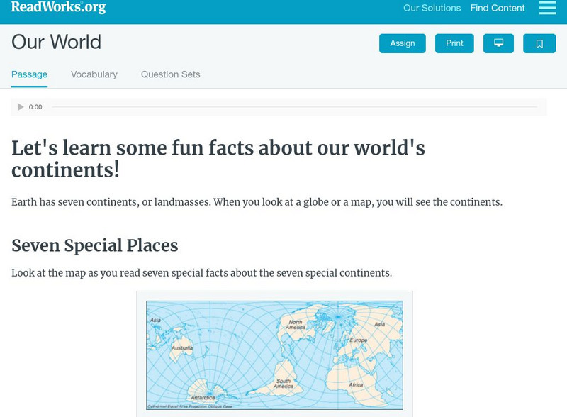
Read Works: Our World
[Free Registration/Login Required] Students read facts about seven continents. A question sheet is available to help students build skills in classifying and categorizing.
Other
Population Reference Bureau: Country Stats & Reports
This site from the Population Reference Bureau could actually be considered a search engine or the beginning page of a data base. It is a thorough source of information on global population including hyperlinks to organizational sources,...
PBS
Pbs Nova Online: Lost at Sea the Search for Longitude
"The quest for a reliable method to find your way at sea was one of the thorniest problems of the 1700s." Find out about the search for longitude at this NOVA site. Includes interactive Shockwave game, learning activities and more.
Defenders of Wildlife
Defenders of Wildlife: Fact Sheets
Here you can find fact sheets on over 50 species of animals. Find an animal by where it lives in the world, and learn all about it.


