Curated OER
Bird Skeleton
In this biology worksheet, students identify and label the various parts of a bird skeleton. There are 34 specific parts to label on the sheet.
Curated OER
Destination Investigation!
Students interpret a map or Atlas. They determine latitude, longitude, and absolute location and create and evaluate a travel itinerary. They identify the benefits and drawbacks of an itinerary and conduct online research as a means to...
Curated OER
Farming Idaho
Students use a digital atlas to explore areas in the Western United States that depend heavily upon water. They explore the type of soil and the farming that is compatible with the soil. As a class, students explore Idaho's economic...
Curated OER
Searching the Digital Atlas
Learners become familiar with the tools of a digital atlas. They use a digital atlas of Idaho to located specified information. Students identify national forests, locate butterfly families, find examples of resident fish, and explore...
Curated OER
Borah Peak Earthquake
students use the internet, an atlas map, and other sources to explore a map of Idaho. They locate the Lost River Range and Mt. Borah. Students read the atlas map to locate earthquake faults, find the magnitude, fault, and epicenter of...
Curated OER
The Hot Spot Hypothesis
Students use a digital atlas, geologic maps, and topography maps to explore geologic regions of Yellow Stone National Park. They locate evidence that support the theory of hot spots. Students research and explore the movements of Hot...
Curated OER
Water Quiz
Students use a digital atlas to explore the effects of water on landscapes. They view view pictures and complete worksheets to study the properties of water. Students study the water cycle and the chemical role it plays in living cells.
Curated OER
Historical Atlas
Sixth graders evaluate how revolutions have affected the world throughout history (i.e. boundaries of nations, culture, economics, etc...) through the research for and creation of a historical atlas for assigned countries.
Curated OER
State of Arkansas Travel Brochure
Eighth graders design a travel brochure to persuade others to visit Arkansas. They depict particular points of interest they decide are the best in the state.
Curated OER
Zones of Conflict
Learners read maps and identify specific countries involved in conflict. They classify countries in cultural realms. They relate maps to what they know about world conflict.
Curated OER
Technology and Geography
Ninth graders, working in pairs, use a multimedia world atlas, Encarta Multimedia Encyclopedia and the Internet (as well as any text materials found in the library) to research information about a specific region of the world.
Curated OER
Where to Look for the USA?
Fifth graders, in groups, explore the the type of reference sources are needed to answer a question. Each group identifies where the material was located, and the teacher records the guess.
Houghton Mifflin Harcourt
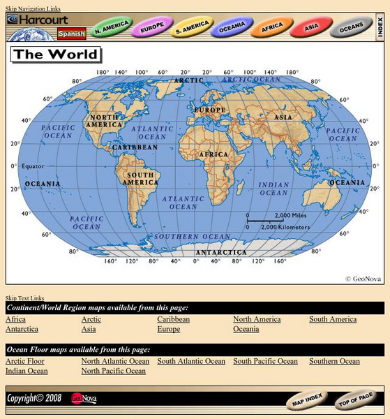
Harcourt: School Publishers: World Atlas: The World
Provides continent, country, and ocean floor maps from all over the world. Click on a continent's name to access the detailed maps which also include statistical facts on each available country.
National Library of France
National Library of France: Heaven and Earth
Learn how art through the ages has been influenced by the Earth and the heavens. See paintings that attempted to explain the Earth's creation from a scientific standpoint, sacred architecture that provided a place to worship the heavens,...
Other
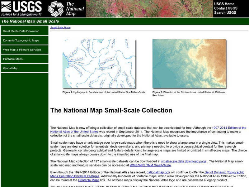
National Atlas
This site is excellent for mapping. You can create ANY kind of map you need. Select all kinds of layers: agriculture, biology, boundaries, climate, history, and more, and then select the geography. It does take some time to figure out...
Central Intelligence Agency
Cia: World Factbook: Regional and World Maps
Website from the Central Intelligence Agency (CIA) provides interactive reference material for regional and world maps in the World Factbook Library. Students and teachers can search for information about any country in the world.
Greek Gods
Greek Gods: Greek Mythology: The Ancient Greek Titans
This site focuses on the ancient Greek Titans, a race of primordial, powerful deities that ruled during the legendary Golden Age. It offers links to individual Titans including the superior, main, and others.
Other
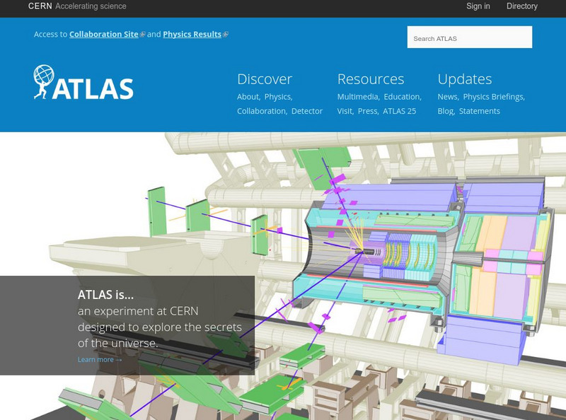
The Atlas Experiment: Mapping the Secrets of the Universe
Everything you want to know about ATLAS, "a particle physics experiment at the Large Hadron Coliider at CERN." The ATLAS website answers questions including, "What is the schedule of the ATLAS experiment?", "How big is ATLAS?", "Are...
National Geographic
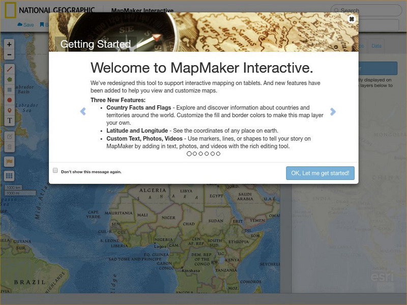
National Geographic: Map Maker Interactive and 1 Page Map Maker
This National Geographic feature allows visitors to create their own world maps complete with capitals, oceans, climate information, satellite view, personalized trail markings and more. Choose from a detailed color map or the second...
Utah Education Network
Uen: Off to See the World!
Second graders play games that use the atlas and the globe.
Geographyiq
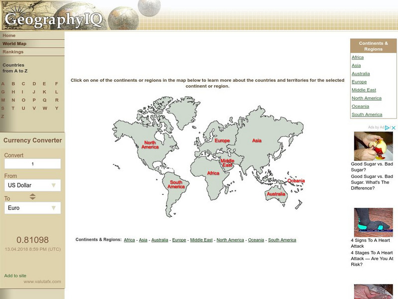
Geography Iq: World Map
Online world atlas allows you to click on one of the continents or regions in the map to learn more about the countries and territories for the selected continent or region.
Texas Instruments
Texas Instruments: Numb3 Rs: The Missing City
Based off of the hit television show NUMB3RS, this lesson has students examine maps of a crime spree in order to figure out if any locations have been unreported. The lesson is not math-intensive and instead forces students to use...
Latimer Clarke Corporation
Atlapedia Online
This site provides both physical and political maps of countries of the world in full color. Also contains key facts and statistics.


