Other
Environmental Defense/air Scorecard
Locate maps and data for air pollutants. Just enter your zip code to find out what air pollutants are released near you.
Other
Canadian Lung Association: Air Quality Statistics
Get the statistics on air quality in Canada. Under the category of indoor air quality, get the facts and figures of exposure to second-hand smoke. Statistics on outdoor air quality in Canada is also provided.
US Environmental Protection Agency
Epa: Air Data
Huge database for air quality data. You specify the information you need and AIRS will supply it. Pollution sources, maps, monitoring sites.
Curated OER
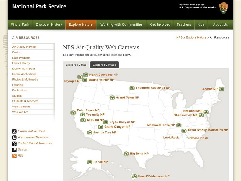
National Park Service: Web Cameras
Use national park webcams to determine how regional haze forms and reduces visibility. You can also explore the differences between smog and haze to determine some of the negative economic impacts regional haze can create.
Other
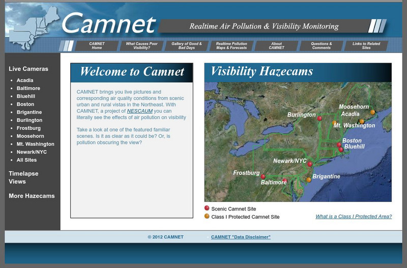
Camnet: Real Time Air Pollution
Live pictures from northeastern U.S. Air quality data and visibility. Real-Time pollution maps. Links to more data sites.
Province of British Columbia
Province of British Columbia: How We Measure Air Quality
Find out how British Columbia measures air quality, collects and measures data, and analyzes and reports the findings.


