Other
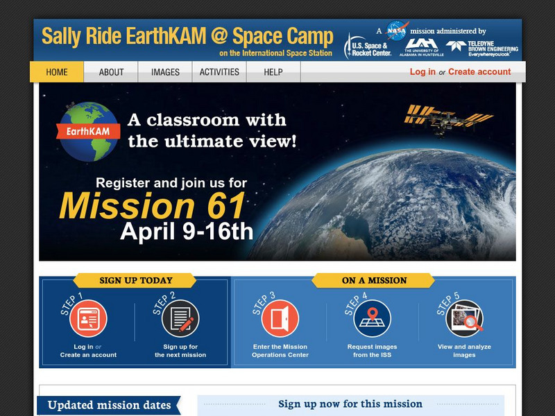
Nasa: Iss Earth Kam
Students get a whole new perspective of the world through images obtained from the International Space Station. Students can even request images to be taken through ISS EarthKAM. Activities and educator guides are provided.
Other
Jules Verne Voyager: Earth
A map resource that allows users to view many different features of the topography, textures, and geodetic data on selections in the drop down menus.
Other
Jules Verne Voyager: Gem Global Strain Rate Map
GEM GSRM uses a texture underlay grid showing the 2nd invariant of lithospheric strain rate, with an image overlay of coastal outlines in white - which forces the texture underlay to have a black background in regions of zero strain...
NOAA
Noaa: Operational Significant Event Imagery
This site contains satellite images from around the world organized by significant events such as dust storms, floods, severe weather, etc. Not very user friendly, but the images are there for those willing to search.
Other
Unavco: Earth Scope
This interactive map program illustrates global-scale geodynamic processes of Earth. View and add base maps, features and velocities which can be selected in the drop down menus.


