Curated OER
Coasts
Young scholars explain the different types of marine coasts and where they are located in the United States and its territories. They explain and identify some of the life forms that inhabit different marine coastal regions.
Curated OER
Draw A Coastline
Learners identify, locate and draw at least ten different geographical features on a map. Using the map, they must make it to scale and include their own legend and compass rose. They share their map with the class and answer questions.
Curated OER
Coastal Development
Students examine how a coastal area changes after it has been developed. They discover the impact of development on the environment. They illustrate their own non-developed area and change it into a developed area.
Palomar Community College District
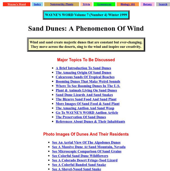
Wayne's Word: Sand Dunes: A Phenomenon of Wind
An engaging natural history of sand dunes. From beaches to deserts you will learn about the formation and ecology of these ecosystems.
Other
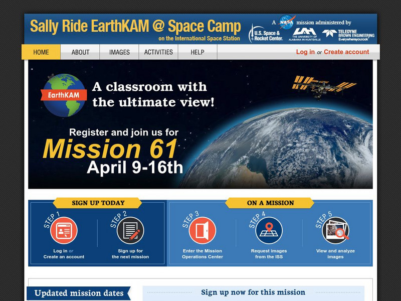
Nasa: Iss Earth Kam
Students get a whole new perspective of the world through images obtained from the International Space Station. Students can even request images to be taken through ISS EarthKAM. Activities and educator guides are provided.
NOAA
Noaa: Homepage
This is the homepage and online publication of National Oceanic & Atmospheric Administration (NOAA), which provides weather and environmental-related news from around the world.
ClassFlow
Class Flow: Coasts
[Free Registration/Login Required] A flipchart useful for checking students' understanding of the issues and the vocabulary associated with coastal zones.
Curated OER
Clip Art by Phillip Martin: Coasts
A clipart illustration by Phillip Martin titled "Coasts."


