Curated OER
Angles and Turns
In this angles learning exercise, students solve 24 problems in which angles and measurements on a compass are calculated. There are also some map problems to solve. The page is intended for online use but can be done on paper.
Curated OER
Barnaby Bear Compass Directions
In this compass worksheet students study the compass rose provided and answer 8 questions. Locations and spellings would be most familiar to students in the U.K.
Curated OER
Second Graders on the Map
Second graders explore the various types of maps. They examine the differences between street maps and aerial photographs. Students identify various features on each map. They use cardinal directions and the compass rose. They write...
Curated OER
Ticky Goes to Jr. Map School
First graders sing "We All Live Together," by Greg and Steve. They look at a map and sing the "Soggy Waffle Song" to study about the compass rose. Students write N, E, S, W on the borders of paper that goes under a 100's chart. The...
Curated OER
Our States, My State
Students examine the Louisiana state quarter and locate Louisiana on a map of the U.S. They relate the location of Louisiana to other states (and vise versa) using directions and the compass rose.
Curated OER
Maps, Charts, and Graphs
Students define key geographic terms and track a hurricane on a map. They examine various types of maps and find locations on them,including rivers, cities and mountains.
Curated OER
Drawing a Bird's Eye View Map
Students make birds-eye view maps and place the compass rose on the map.
Curated OER
Directions on a United States Map
Young scholars generate directions for an imaginary trip. For this map lesson, students review the four main directions and how to use a map legend. Young scholars locate destinations based on directions given by classmates.
Curated OER
Geography: Japan Project Online Lesson, Part 2
Learners, in small groups, create and exchange map questions and share them with students in Japan. After examining the maps, they compare and contrast the two maps on the county Web Board. Learners use a rubric to evaluate their answers.
Curated OER
Environment: Going Places
First graders learn directional words and apply this skill to map making. They record their steps on paper.
Geographypods
Geographypods: Map Skills
A collection of highly engaging learning modules on various topics within mapping skills. Covers map symbols, how to use four- and six-figure grid references, cardinal directions, distance, contour mapping, and drawing cross-sections....
Mariners' Museum and Park
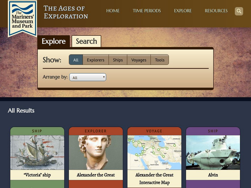
Mariners' Museum: Age of Exploration: Tools of Navigation
Sailors improved on many of the tools used in navigation to help them in their long journeys across an ocean. On this site from the Mariners' Museum, find many of these tools, perhaps in use already in the 15th century, but made even...
Utah Education Network
Uen: Expanding Map Vocabulary
First graders will be able to name the vocabulary words in Navajo, Ute, and Spanish for the cardinal directions.
PBS
Pbs Learning Media: Let's Learn
This collection of resources for children ages 3-8 are drawn from the public television series Let's Learn, a partnership between the WNET Group and the New York City Department of Education. Let's Learn aims to provide our young...
E-learning for Kids
E Learning for Kids: Science: Antarctica: Penguins: What Is Motion?
What do you know about Emperor penguins? Ernie is researching them and their migration across the continent.
Online Learning Haven
Finding Your Way: How to Read a Compass
A great explanation on what a compass is and how to read one. After the explanation, a step-by-step guide to drawing your own compass is given.
US Mint
United States Mint: In Mr. Lincoln's Shoes [Pdf]
Using the study of President Abraham Lincoln as a guide, students demonstrate basic map skills including cardinal directions and how to use a compass rose.
Other
Map Zone: Compasses and Directions
Sharpen map skills by exploring these map pages. Learn about the compass rose, different norths, and how to use a compass.
Utah Education Network
Uen: Lesson Plan: Map Trap
Lesson to reinforce maps skills and concepts. Students map locations around their school and use world maps to locate major landmarks.
Annenberg Foundation
Annenberg Learner: United States History Map: From Sea to Shining Sea
A great interactive map that reinforces your knowledge of the geographic features of the United States. Begin by reading general information on reading maps, then play the game.
Read Works
Read Works: Learn About Maps
[Free Registration/Login Required] Intended to support early elementary students' reading comprehension, the basic terminology associated with map are explained in this informational text. A question sheet is available to help students...
SMART Technologies
Smart: Geography Unit: Maps
This geography unit is designed to follow the 1st Grade geography skills required in Virginia. Students are expected to use cardinal directions, read map keys and understand map symbols, as well as identify our city and capital.
CK-12 Foundation
Ck 12: Fourth Grade Science: Earth Science: Introduction to Earth's Surface
[Free Registration/Login may be required to access all resource tools.] Explains how to find a location and direction on Earth's surface. Discusses topography and various landforms and how they form.


