Owl Teacher
Imaginary Nation: Constructing a Map
Your young geographers will combine what they have learned about the five themes of geography and their inner creativity to design a physical map for an imaginary nation.
Curated OER
Exploring our National Parks
Students utilize maps/Atlases to find key spatial information, locate U.S. National Parks, characterize the geography of a specific region, and create a National Park brochure.
Curated OER
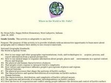
Where in the World is Mr. Fultz?
Students use maps and other geographic resources to learn about their world while problem solving. They read clues each day and use classroom resources to narrow down where the prize is located.
Curated OER
Reference Resources: Being a Good Detective
Students explore a variety of reference resources while seeking information. atlases, almanacs, dictionaries, encyclopedias, thesauri, and online search engines as well as library card catalogs are utilized in this lesson plan.
Curated OER
Avalanche And Landslide Hazards in Canada
High schoolers explore where the natural disasters, avalanche and landslides, are most frequent in Canada and investigate their associated causes and effects. They navigate the Atlas of Canada Web site for natural hazards.
Curated OER
Mapping Your Neighborhood
Students use atlases, maps, and Web resources to generate and examine maps of their own neighborhoods.


