Scholastic
Study Jams! The Ocean Floor
Under the sea, the geography is as varied as it is on land! Young oceanographers find out about continental shelves, abyssal plains, seamounts, trenches, and mid-ocean ridges by viewing and reading the eight high-quality slides. Then...
Curated OER
Marine Energy
In small groups, energy engineers research and make a topographic map of a marine natural resource. They report to the rest of the class pros and cons of extracting their assigned resource. The two activities may take up to four class...
Curated OER
The Coastal Ocean: Estuaries and Continental Shelves
Amazing high-quality satellite imagery, photos, informational graphs, and detailed diagrams comprise this presentation on the movement of estuaries and the continental shelf. Data used as an example is from The Chesapeake Bay and because...
Curated OER
Faking It
Middle school earth scientists describe the behavior of the Coriolis force. They compare and contrast conditions under which the Coriolis force has a significant impact with conditions under which it has very little. They model the...
Curated OER
The Ocean
Plant and animal life of the ocean is the focus of this science lesson. Young scientists sort a variety of seashells and explore why many sea animals have shells. They examine the shells, write journal entries highlighting the...
NOAA
What's New?
Biodiversity in some areas is more diverse than one might think. Using a two-day lesson, pupils consider the biodiversity of the Hudson Canyon and the characteristics of one organism. They begin with an analysis of the common earthworm...
Curated OER
Ocean Planet: Sea Secrets
Students identify ocean features and draw a profile using data points on a map. Through discussion and research, they discover the importance of oceanography and plot a profile of the ocean floor in search for a vessel full of precious...
Curated OER
Shifting Coastlines
Students study North Carolina's changing coastline during the Paleoindian and Archaic periods and determine the positions of the coastline at different times and decide what types of archaeological information has been lost due to rising...
Curated OER
Cool Corals
Students research questions pertaining to ecology and biology of shallow and deep water corals. In this investigative lesson student get into groups and design questions that will expand their knowledge of corals.
Alabama Learning Exchange
The Ocean Floor
Learners explore the ocean in this earth science lesson. They use the Internet to gather information on parts of the ocean including the beach, ocean floor, continental shelf, trenches, and the animals that inhabit these parts.
Curated OER
The Seafloor
In this seafloor activity, high schoolers describe the different structures found on the seafloor. This activity has 6 short answer and 6 matching questions.
Curated OER
Mapping the Blue Part
Eighth graders determine the location of specific features of the stimulated ocean floor. The features include the continental shelf, continental slope, an ocean trench, and a mid-oceaniz ridge.
Curated OER
Life on the Edge: Exploring Deep Ocean Habitats Cool Corals
Students research the basic morphology of Lophelia corals and polyps to determine the significance of these organisms. They detail the reasons that biological communities are focusing on the Lophelia corals as major conservation efforts.
Curated OER
The Seafloor
In this seafloor activity, students review the terms associated with formations found on the seafloor including sea mounts and seafloor spreading. This activity has 8 fill in the blank questions.
American Museum of Natural History
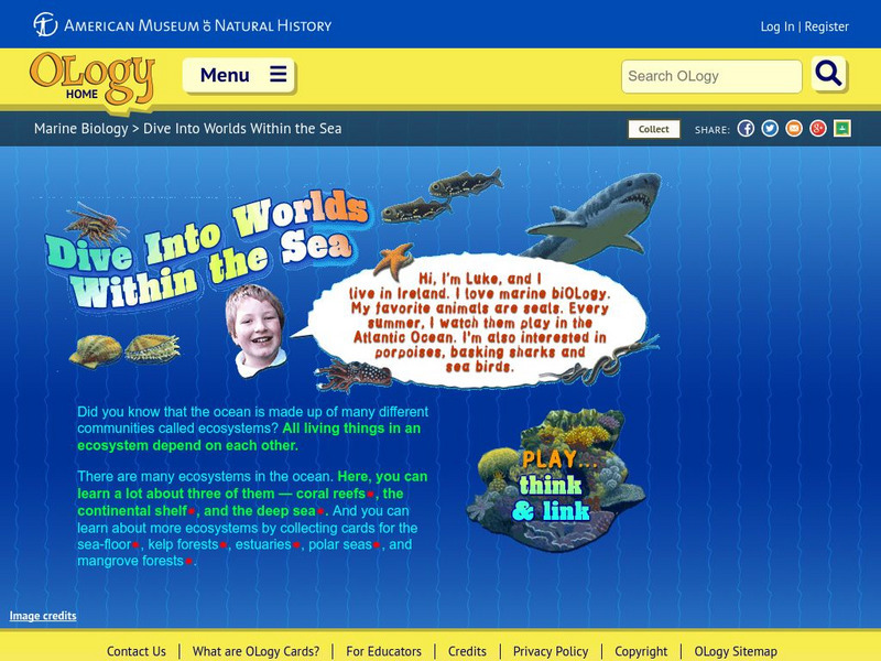
American Museum of Natural History: O Logy: Dive Into Worlds Within the Sea
Learn about three different marine ecosystems: coral reefs, the continental shelf, and the deep sea. Interactive game included, which will help players chart the interrelationships among organisms that live in each ecosystem.
US Geological Survey
Usgs: u.s. Atlantic Continental Margin Gloria Mapping Program
This site from the U.S. Geological Survey allows you to access detailed images of the continental margin around the United States. There is additional information about the sonar methods used, and a wealth of additional sources listed.
US Geological Survey
Usgs: Monterey Submarine Canyon, California Moored Array Data Report [Pdf]
This advanced site discusses some of the research done and research techniques used in studies of the Monterey Canyon. Great graphics showing the position of the canyon relative to other features of the continental margin. Also...
American Museum of Natural History
American Museum of Natural History: Dive Into Worlds Within the Sea
Think and Link to investigate three different ecosystem either the deep sea, coral reef or continental shelf. By connecting the dots students make a food chain to see how organisms in each habitat depend on each other.
TeachEngineering
Teach Engineering: Survive That Tsunami!
Students use a table-top-sized tsunami generator to observe the formation and devastation of a tsunami. They see how a tsunami moves across the ocean and what happens when it reaches the continental shelf. Students make villages of model...
Science Education Resource Center at Carleton College
Serc: Inquiry Into High Resolution Ice Core and Marine Sediment Records
Activity in which questions are provided relating to interpreting paleoclimate data such as characteristics that make sites favorable for paleoclimate records, locating sites using a map, finding patterns and correlations in the data,...
University of Washington
University of Washington: Coastal Processes and the Continental Margin
Events affecting the continental margin off Washington State are presented. This article comes from the "Thompson Times," an onboard newspaper from the UW's primary research vessel, the Thomas Thompson.
US Navy
Office of Naval Reasearch: Ocean Floor
A comprehensive site that provides information on the characteristics of the ocean floor, continental margin and rise, deep ocean basin, and the mid-ocean ridge. A quick quiz follows at the end of this site.
American Museum of Natural History
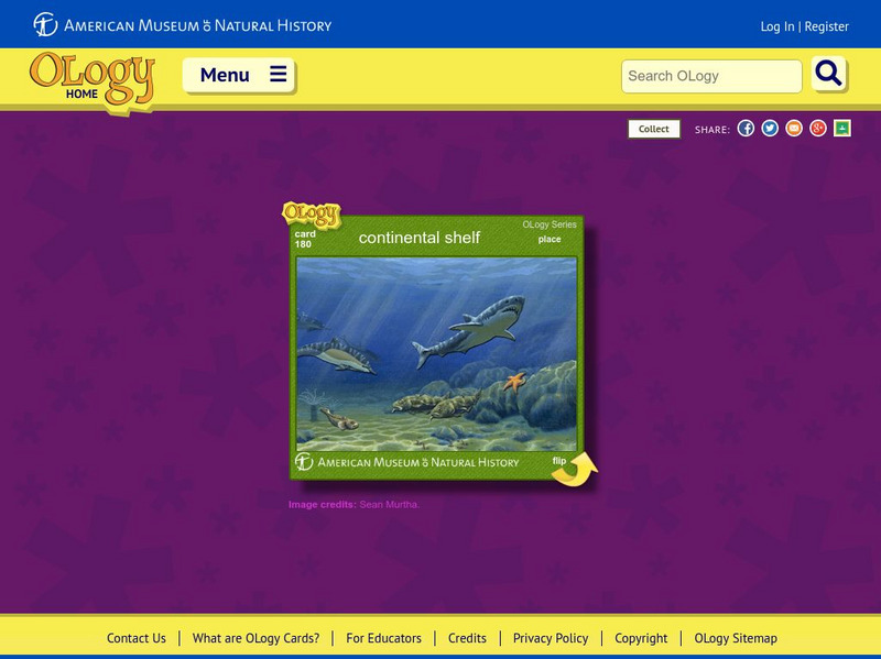
American Museum of Natural History: Continental Shelf O Logy Card
Turn over this interactive card to find fast facts, questions and answers, and similar bite-size pieces of information to help you understand the continental shelf.
Read Works
Read Works: Who Owns the Arctic?
[Free Registration/Login Required] An informational text about the North Pole, the countries that want to claim it, and the effects of global warming. A question sheet is available to help students build skills in reading comprehension.






![Usgs: Monterey Submarine Canyon, California Moored Array Data Report [Pdf] Handout Usgs: Monterey Submarine Canyon, California Moored Array Data Report [Pdf] Handout](https://d15y2dacu3jp90.cloudfront.net/images/attachment_defaults/resource/large/FPO-knovation.png)
