Curated OER
Will There Be a White Christmas This Year?
Students examine historical weather data, and create map and color key that illustrates the likelihood of a white Christmas in different locations across the United States.
Curated OER
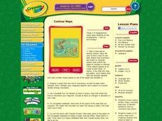
Contour Maps
Students review various contour maps, including local ones, to identify landforms such as mountains and plains. They create a 3-D contour map of an imaginary location that shows at least 10 changes in elevation. Afterward, they write a...
Curated OER
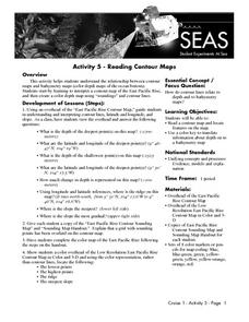
Reading Contour Maps
Students examine contour maps and bathymetry maps and discover how to interpret a contour map of the East Pacific Rise. Students look at a map as a class and answer questions together before working independently on a map of the East...
Curated OER
Mapping and Topgraphy- 8th Grade
Eighth graders practice interpreting a contour map as well as reading latitude and longitude in a team activity. Following a discussion on mapping terms, teams are given maps and estimate the distance between two points. Students...
Science Education Resource Center at Carleton College
Serc: Choosing the Best Contours
Using GeoMapApp's interactive elevation base map, experiment to find the best contours for sensibly displaying topography in different landscape regions. Young scholars use contours in different landscape regions to find contour...


