Curated OER
Compass Reading
Here's a basic lesson on reading a compass. Learn the names of the parts of a compass. Learn how to read a bearing in degrees. Then go outside and follow a course of cones set up on the grass or in a clear area. Starting at one cone,...
Curated OER
Orienteering - Lesson 6 - Compasses
Travel using a compass. Get your bearings! What does that mean? Choose a starting point, set your bearings, move to a location, and then use your bearings to return to the original starting point. It is of utmost importance to understand...
Curated OER
Using a Compass
Young scholars determine how to shoot a bearing. In this compass and orienteering lesson, students review the parts of a compass, practice how to find a bearing and work in groups to practice finding landmark bearings.
Curated OER
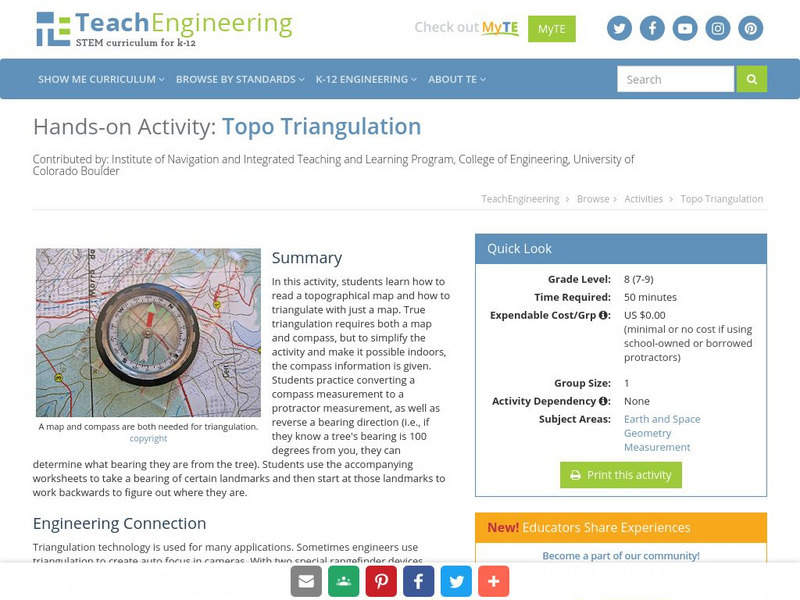
Topo Triangulation
Learners investigate how to read a topographical map and triangulate with just a map. They convert a compass measurement to a protractor measurement, reverse a bearing direction, and using a worksheet take a bearing of certain landmarks...
Curated OER
Angles, Bearings and Maps
In this angles learning exercise, 6th graders solve and complete 14 different problems. First, they determine the angle in which they turn through clockwise. Then, students look at the diagram on the information sheet and find the angle...
Curated OER
Space Science:Wherever You Go, There You Are
Students explore navigation principles by observing, measuring, and interpreting data to determine locations. Using a compass, compass rose, and a transit, they plot courses and discover the workings of the Global Positioning System...
Curated OER
Navigation Across the Seas
Students examine nautical navigation and discover the differences between nautical charts and other types of maps or charts. Students practice setting a course, taking a bearing, and dead reckoning. This gives students an example of...
Curated OER
TE Activity: The Trouble with Topos
Young scholars study the uses of topographical maps including the many forms that they take. They discover that the map features show its intended use such as city maps, wilderness maps, and state maps. They complete a worksheet in which...
Curated OER
Topo Map Mania!
Seventh graders describe the major features of maps and compasses. They read a topographical map. They take a bearing using a compass. They practice using scales on a map.
TeachEngineering
Teach Engineering: Topo Triangulation
In this activity, students will learn how to read a topographical map and how to triangulate with just a map. True triangulation requires both a map and compass, but to simplify the activity and make it possible indoors, the compass...
Other
Hellenic Ministry of Culture: The Palace of Knossos
The Hellenic Ministry of Culture offers basic background information about the Palace of Knossos and the frescoes inside. A bit of information about the excavations by Arthur Evans is included.
Then Again
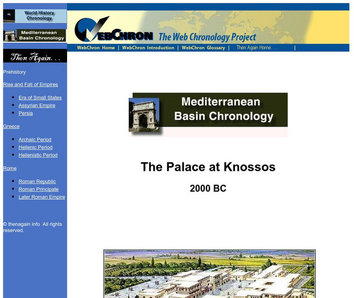
Then Again: Web Chron: Mediterranean Basic Chronology: The Palace at Knossos
This short article concentrates on the Minoan culture within the Palace at Knossos and how the art on the walls reflected the Minoan culture.
TeachEngineering
Teach Engineering: Where Is Your Teacher?
In this activity, students will learn how to take bearing with a compass. They will also learn how to describe a bearing and find an object in their classroom using a bearing.
TeachEngineering
Teach Engineering: Topos, Compasses, and Triangles, Oh My!
In this activity, students will learn how to actually triangulate using a compass, topographical (topo) map and view of outside landmarks. It is best if a field trip to another location away from school is selected. The location should...
TeachEngineering
Teach Engineering: Topo Map Mania!
Maps are designed to allow people to travel to a new location without a guide to show the way. They tell us information about areas to which we may or may not have ever been. There are many types of maps available for both recreational...
TeachEngineering
Teach Engineering: Getting to the Point
In this lesson plan, students learn how to determine location by triangulation. We describe the process of triangulation and practice finding your location on a worksheet, in the classroom, and outdoors.
CK-12 Foundation
Ck 12: Right Triangles, Bearings, and Other Applications
[Free Registration/Login may be required to access all resource tools.] Find distances using angles expressed as bearings. Here you'll learn how to relate right triangle relationships to course bearings.
ClassFlow
Class Flow: Bearings
[Free Registration/Login Required] In this lesson the students select appropriate tools (e.g. compasses and protractors) to measure angles and analyze bearings (N, E, S, and W).


