Curated OER
Plotting Grids Using Battleship
Learners coordinate grid points on X and Y axises to plot a physical location. The game of "Battleship is used to present first hand knowledge of this skill.
Curated OER
INTERPRETING MAGNETIC FIELD MAPS
Students interpret magnetic field maps, rotate the coordinates to obtain different views, change the coordinate representation, and produce alternate graphical representations.
Curated OER
Coordinate Graphing
Students practice basic coordinate graphing and plotting points on the coordinate axis. In this geometry lesson, students are introduced to ordered pairs, and the x and y axis.
Curated OER
What A Tombstone Can Tell Us
In this coordinates worksheet, learners determine the coordinates to visit a cemetery. Students determine 18 coordinates on this worksheet.
Curated OER
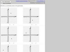
Identifying Points in the Coordinate Plane
In this ordered pairs worksheet, students identify 6 ordered pairs given a coordinate plane. Students list the ordered pair given the graph.
Curated OER
Learning Coordinates
In this coordinates worksheet, students tell whether 2 animals are located on the X or y coordinates. A reference web site is given for additional activities.
Curated OER
Plotting Coordinates #2
In this plotting coordinates instructional activity, students plot sets of coordinates on graphs, then name the shape the plots formed. A reference web site is given for additional activities.
Curated OER
Straight Line Graphs
Young scholars discover certain equations produce straight lines. In this graphing lesson, students draw axis and problem solve to find coordinates to graph.
Curated OER
Geometric Coordinates
In this geometric coordinates worksheet, students solve and complete 3 different types of problems. First, they use the equations provided to complete the table on the right. Then, students plot the x- and y- coordinates on the graph to...
Curated OER
Latitude
In this latitude worksheet, students answer questions about latitude that include absolute locations of countries and coordinates. Students complete 12 questions.
Curated OER
Ordered Pairs
In this ordered pairs worksheet, 10th graders solve and graph 6 different sets of points on each graph. First, they draw each of the given ordered pairs in each problem on the gird shown. Then, students label each of these points on the...
Curated OER
Convolution Method
For this convolution method worksheet, students solve 4 different equations related to convolution methods. First, they create a combined plot of the three different solutions and the forcing function. Then, students use any method...
Curated OER
Millennium Bridge
Students read and plot coordinates in all four quadrants and state where a shape will be after translation. They explore the concept of translation using a a four quadrant grid of the of River Tyne running through all 4 quads. In...
Curated OER
What a Site!
Fourth graders are introduced to how to properly create a grid site. In groups, they use Cartesian coordinates to establish the boundaries for the grid and photograph the location of artifacts. They exchange their photos with another...
Curated OER
Three D Constellations
Students are introduced to both celestial coordinates and to the first rung on the distance determination ladder. They convert spherical coordinates to Cartesian coordinates to construct a three dimensional model of a constellation...
Curated OER
TE Activity: Nidy-Gridy
Students make a grid and coordinate system map of their classroom as they investigate why it is important to have a common map making system. They look at how landmarks are used for navigating an area.
Curated OER
Science: Hurricanes As Heat Engines
Students conduct Internet research to track the path of Hurricane Rita. They record the sea surface temperature of the Gulf of Mexico during and after the hurricane and draw conclusions about how hurricanes extract heat energy from the...
Curated OER
Plotting Rectangular Coordinates
Students practice plotting coordinates on a flat surface or plane. The coordinates can be identified and labeled. An interesting variation of this process is made in the lesson when the position of holes made by thrown darts are plotted.
Curated OER
Lagoon Lake
Students develop skill in using co-ordinates. Up to eight cardinal points of the compass are used making this a useful activity in simple map and grid work. They utilize educational software to gain practice.
Curated OER
Coordinates
High schoolers use cartesian coordinates (x,y,z) in 3-dimensional space. [Optional: appreciate there exist two ways of defining the z axis, and which of them is used.] They become familiar with the tools and terms used by surveyors.
PBS
Pbs Learning Media: Finding the Intersection
In this Cyberchase video, Inez and Digit identify the location of the transformatron using their knowledge of parallel and intersecting lines.
University of South Florida
Fcat: Human Coordinate Plane: Teacher Notes
Students participate as a class in this activity using their desks as points on the coordinate plane. The teacher leads them in the activity, increasing their understanding of the characteristics of the coordinate plane.
Shodor Education Foundation
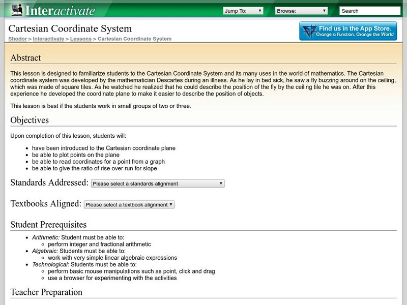
Shodor Interactivate: Lesson: Cartesian Coordinate System
This lesson plan contains a learning exercise for students to familiarize themselves with the Cartesian Coordinate System and its many uses in the world of mathematics. Contains links to explanations of terms and concepts associated with...
Shodor Education Foundation
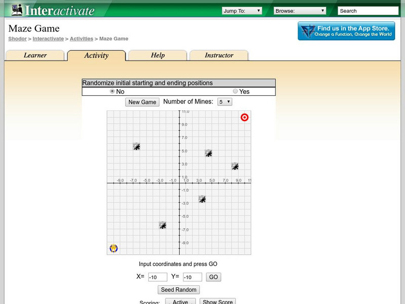
Shodor Interactivate: Maze Game
The interactive learning game has students practice their point plotting skills as they move through a mine field. The goal of the game is to get to a target location without crossing a mine.


