Curated OER
Countries of the World
Students define the meaning of the word country. In this countries of the world map lesson, students identify boundaries, countries, and symbols within countries on the map. Students distinguish the words country and continent.
Curated OER
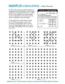
Pick's Theorem
In this Pick's Theorem learning exercise, students solve and graph 6 different problems that include using Pick's Theorem to solve. First, they use Pick's Theorem to determine the area of the shapes given as well as their own shapes...
Curated OER
From America, With Love
Students research the experiences of specific immigrant groups in the United States. Letters are written from imaginary immigrants to relatives in their countries of origin, including historically accurate details.
Curated OER
Plate Tectonics
High schoolers recognize three basic types of tectonic plate boundaries and explain what happens to each one. In plate tectonics lesson students draw and label a cross-sectional diagram of the Earth.
Curated OER
Graphing Inequalities in Two Variables
For this graphing inequalities worksheet, 9th graders solve and graph 6 different problems that include two variables. First, they define the given vocabulary terms found at the top of the sheet. Then, students graph each inequality...
Curated OER
All About Continental Drift
In this earth science worksheet, students identify and locate vocabulary terms related to continental drift and geography. There are 54 words located in the puzzle.
Curated OER
The League of Peace and Power-The Six Iroquois Nations and the American Revolution
Students examine primary sources concerning the members of the Iroquois nation in order to determine their reasons for signing a treaty with the new American government. They discover how this organization of Native American tribes...
Curated OER
"Tri-County" Project--Rivers Lakes Reservoirs
Students examine data about the rivers, lakes, and reservoirs in the state of Nebraska. An understanding of the political implications of boundaries is developed.
TeachEngineering
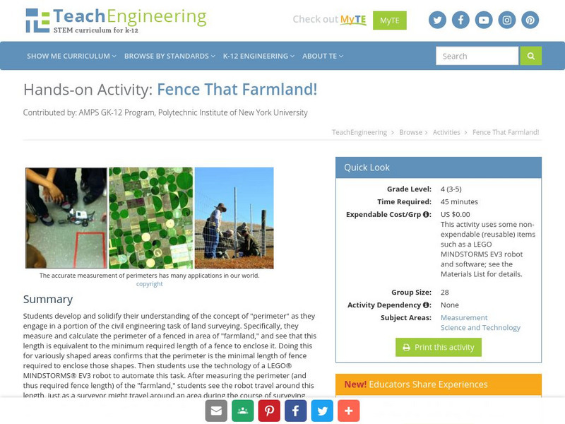
Teach Engineering: Fence That Farmland!
Students develop and solidify their understanding of the concept of perimeter as they engage in a portion of the civil engineering task of land surveying, using the technology of a LEGO MINDSTORMS NXT robot to automate this task.
American Geosciences Institute
American Geosciences Institute: Earth Science Week: Ring of Fire
Students identify plate boundaries as well as continents, countries, and bodies of water to become familiar with an area known as the "Ring of Fire."
Can Teach
Can Teach: Creating an Edible Map
This imaginative lesson uses food products to demonstrate the physical characteristics of maps.
Physics Classroom
The Physics Classroom: Waves: Traveling Waves vs. Standing Waves
Students discover the difference between traveling and standing waves in this physics tutorial.
Purple Math
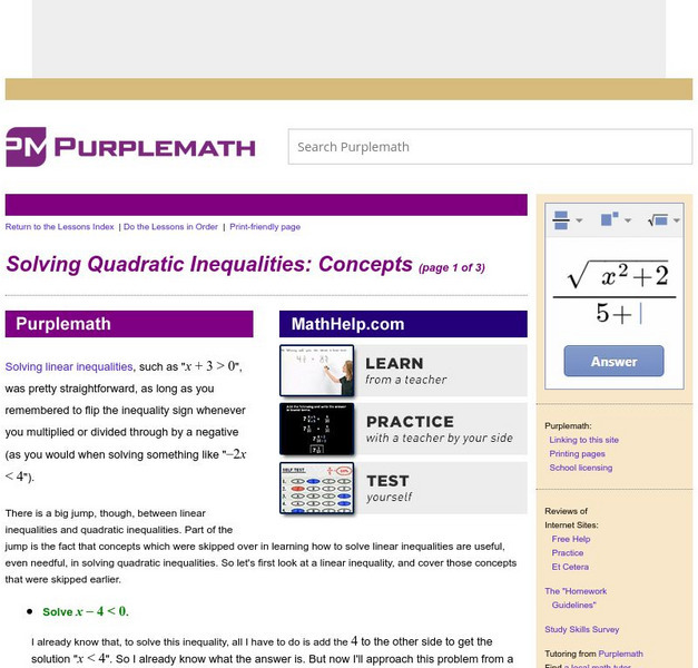
Purplemath: Solving Quadratic Inequalities: Concepts
Introduces a conceptual basis for solving quadratic inequalities, looking at linear inequalities and using a knowledge of what quadratic graphs look like.


