Smithsonian Institution
Smithsonian Institution: Time and Navigation
Explore navigation methods by sea, air, and space, what latitude and longitude mean, how GPS works, about satellite navigation, and learn about professional navigators. Includes a timeline of developments in navigation from 1280 to the...
TeachEngineering
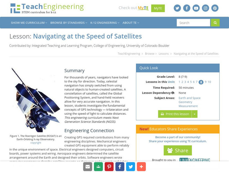
Teach Engineering: Navigating at the Speed of Satellites
For thousands of years, navigators have looked to the sky for direction. Today, celestial navigation has simply switched from using natural objects to human-created satellites. A constellation of satellites, called the Global Positioning...
TeachEngineering
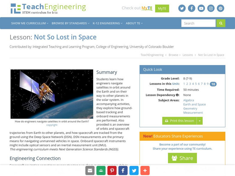
Teach Engineering: Not So Lost in Space
Students learn how engineers navigate satellites in orbit around the Earth and on their way to other planets in the solar system. In accompanying activities, they explore how ground-based tracking and onboard measurements are performed....
TeachEngineering
Teach Engineering: Where Am I: Navigation and Satellites
How do we know where we are? In this lesson, students explore the concept of triangulation that is used in navigation satellites and global positioning systems designed by engineers. Also, students learn how these technologies can help...
BBC
Bbc: Bitesize Geography: Os Map Skills
A short tutorial on mapping tools and how to read maps. Covers features of maps, symbols, the compass, scale, distance, how height is represented, and grid references. Includes multiple-choice quiz at the end.


