Countries and Their Cultures
Countries and Their Cultures: Bamileke
Bamileke is a collective term referring to a loose agglomeration of some 100 kingdoms or chiefdoms of the eastern Grassfields in the Western Province of Cameroon. These kingdoms have similar cosmology and social and political structures;...
Michigan State University
Michigan State University: Global Edge: Cameroon: Introduction
Provides statistics, history, economy, culture, politics, and demographics for the country of Cameroon in Western Africa.
CRW Flags
Flags of the World: Cameroon
This site from Flags of the World provides a large flag of Cameroon with a description of the flag and a short history of the country.
CRW Flags
Flags of the World: Central African Republic
Flags of the World offers a large flag of Central African Republic with a description of the flag and coat of arms.
Ducksters
Ducksters: Geography for Kids: Cameroon
Visit this site to get more information about Cameroon. Learn about its history, capital, flag, climate, terrain, people, economy, and population.
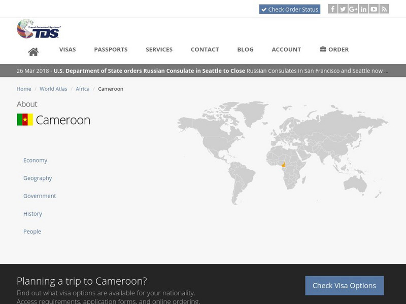
Travel Document Systems
Tds: Cameroon: Geography
A graphic listing the important components of Cameroon's physical environment. You can find out about the climate, terrain, natural resources, and environmental concerns. Information is from the CIA World Fact Book.
Curated OER
Map of Cameroon
Explore the geography, history, government and facts of Cameroon. Maps and current flag are included.
Curated OER
Flag of Cameroon
Explore the geography, history, government and facts of Cameroon. Maps and current flag are included.
Curated OER
Cameroon Political Map
Check out this great satellite image of Cameroon from Google Earth. Scroll past the informative political map to see the image. There is more information about the country below the satellite map.
Curated OER
Cameroon Satellite Photo
Check out this great satellite image of Cameroon from Google Earth. Scroll past the informative political map to see the image. There is more information about the country below the satellite map.
Curated OER
Association of Religion Data Archives: National Profiles: Cameroon
Learn about religion in Cameroon, in this Association of Religion Data Archives country profile. Includes general facts, history, and religious data.
Curated OER
Science Kids: Science Images: Map of Cameroon
A map featuring Cameroon and its neighboring countries.
Curated OER
Science Kids: Science Images: Cameroon Flag
The national flag of Cameroon, a country in Central Africa.


