Curated OER
Where Is Japan? How Far Is That?
First graders use literature and hands-on activities with maps and globes to explain distance and tools used to measure distance. They select tools to measure various objects in the classroom, then apply those concepts to their map...
Curated OER
BOUND TO BE NEW HAMPSHIRE
Students identify neighborhood, town, and state boundaries. They distinguish between natural and man-made boundaries. They identify major state geological features and explain how NH boundaries have changed over time.
Curated OER
White Bear Lake Fitness Challenge
Students participate in fitness challenge. After choosing a destination they would like to visit, students record their mileage to their destination after riding on bikes and walking on treadmills. Students receive an incentive...
Curated OER
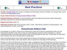
Pennsylvania Walkers Club
Students participate in an school-wide walking club. Students choose a destination in Pennsylvania they would like to visit. After plotting the best way to get their using a map, the walk each day and record their distance in miles on...
Curated OER
Locating Patterns of Volcano Distribution
Pupils examine patterns of volcanic distribution worldwide, use tables to plot and label location of each volcano on map, lightly shade areas where volcanoes are found, and complete open-ended worksheet based on their findings.
Curated OER
Reading Skills - Giving Directions
In this reading skills worksheet, learners identify places on a map. After reading a description of where each of the fifteen places is located, students match each building to the names of the places.
Curated OER
Animals from Afar
Students visualize the scope of the Roman empire by illustrating the geographic origins of various imported animals. They study how exotic animals were imported into Rome from the farthest regions of the empire.
Curated OER
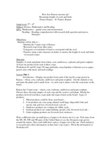
How Does Kansas Measure Up?
Students identify the five main crops of Kansas and crops that are produced in other states. The categorize the types of fruits and seeds of each plant and measure each to compare the length of each.
Curated OER
The Evening News - Rainforest Rescue
Fifth graders prepare a television briefing reflecting on their experiences in an earlier lesson in which they simulated surviving a crash into the Amazon and using maps to achieve rescue. They develop and present a summary of their...
Curated OER
Breads Around the World
Pupils read about bread. In this lesson studying bread, students read about the history of bread and it's significance around the world. Pupils identify the three main crops used to make bread and ten common types of bread from different...
Curated OER
Predicting the Route of the Monarch's Spring Migration
Students consider the habits of the monarch butterfly and predict the path it take as it migrates in the spring.
Curated OER
Temperature Zones
Students read and make inferences about a map showing various temperature zones across the United States.
Curated OER
Global Lesson: Social Studies On-Line Global Lesson: Social Studies On-Line Continents
In this geography PowerPoint a simple world map on which each continent is represented by a solid green landform is the background for each of the nine slides. The continent names appear in a list on the first slide, followed by one...
Curated OER
Urban Geo Worksheet
In this urban geography worksheet, students respond to 20 short answer questions about urban geography after they have read a related article. The article is not included.
Curated OER
At Your Fingertips
First graders observe a variety of different foods including kiwi, banbnas, coffee, chocolate and discuss where they come from. They discuss the terms import and export then identify the locations where the items came from and their...
Curated OER
Map your Schoolyard
Students practice their mapping skills by creating an accurate map of their schoolyard using an aerial photo from the National Map web site. Students include legends, a scale, and a north arrow on their maps.
Curated OER
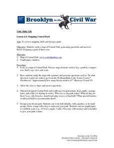
Mapping Central Park
Students use the mapping skills to explore New York's Central Park. They examine a map of Central Park to discover its features. After discussing the characteristics of the park, students design their own dream park and draw it to scale.
Curated OER
Honey Bee Facts And Figures: Math Skills
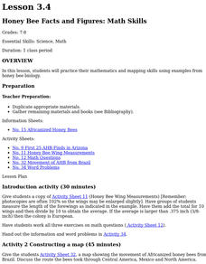
Students practice their mathematics and mapping skills using examples from honey bee biology. Discuss why the colonies were found in this pattern. They examine food and water in the area, and how many humans live in the area where...
Curated OER
Population Change in Vermont, 1990-2000
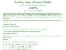
Students improve their mapping skills and knowledge about population distribution and change in Vermont at the county level. They are divided into groups of two or four. Each group is given two county base maps and the population...
Curated OER
Max Knows Mexicao, United States and Canada
Students utilize their map skills to explore the regions of North America. They explore the physical characteristics and climates of the regions. Students label their map and prepare a presentation of their findings.
Curated OER
Guide Me "Home"
Students find how freedom quilts helped free slaves. In this American History lesson, students read the story Sweet Clara and The Freedom Quilt and discuss the Underground Railroad. They use their map skills to locate...
Curated OER
How Deep is the Ocean
Middle schoolers predict and then analyze the layout of the tectonic plates that form the ocean's floor using mapping skills and Inquiry based problem solving, They compare the depth of various regions in the ocean with the geologic age...
Curated OER
Orienteering - Lesson 1 - Maps & Map Scales
Lesson 1 of 10 lessons in this orienteering unit is about maps and map scales. After all, orienteering is all about maps, compasses, and finding ones' way around. It is imperative to be able to read maps and understand the relevance of...
Curated OER
Fantasy / Art Maps
Ninth graders analyze a fantasy art map by Jeremy Anderson, paying careful attention to the way the topographic features of the land are represented. They create a similar map of Sacramento that includes topographical features as well as...
Other popular searches
- Map Skills Lesson Plans
- Map Skills Worksheets
- Elementary Map Skills
- Geography Map Skills
- Basic Map Skills
- Social Studies Map Skills
- Globe and Map Skills
- Beginning Map Skills
- United States Map Skills
- Map Skills, Continents
- Early Explorers Map Skills
- Free Map Skills Worksheets


