Curated OER
Controlling Nuclear Weapons: Debating the Non-proliferation Treaty
High schoolers brainstorm about their prior knowledge of nuclear weapons and answer questions related to nuclear weapons based upon this brainstorming.
Curated OER
Working In The World
Tenth graders engage in research about the life of Keckley. They examine specific events that display the characteristics of good citizenship. The effectiveness of using different tactics by Keckley is discussed in small group to measure...
Curated OER
Air Masses & Fronts
Students identify two distinct air masses and the frontal boundary and determine whether the front is moving in time and in what direction the front is moving.
Curated OER
Our Community Helpers
Students identify important aspects of community and culture that strengthen relationships. They discuss pictures of national symbols.
Curated OER
Chemical Changes by Gems
Seventh graders observe that heat is produced when two substances are combined. They brainstorm how, and then experiment to find out which of two chemicals created the heat.
Curated OER
Colonizing the Stars
Middle schoolers compare and contrast the size, composition and surface features of the nine planets of our solar system with the possible sizes and compositions of extra -solar planets.
A&E Television
History.com: The States
Learn unique facts about each American state. You can also read a more in-depth history of each state, watch videos and play a game about all the states.
Annenberg Foundation
Annenberg Learner: United States History Map: 50 States
Read about the regions of the United States, find the states in those regions on maps, and play a game to locate the states. A great interactive review.
Annenberg Foundation
Annenberg Learner: u.s. History Map Interactive
Become a geography whiz as you learn how the United States was settled. Discover how the continent was irrevocably changed by European colonization, the events that caused the wholesale displacement and decimation of the land's original...
ClassFlow
Class Flow: Labeling United States
[Free Registration/Login Required] This flipchart allows the students to use a 50 states map to move the states into their correct position on the map and identify states by their abbreviations. The flipchart is designed to help students...
Johns Hopkins University
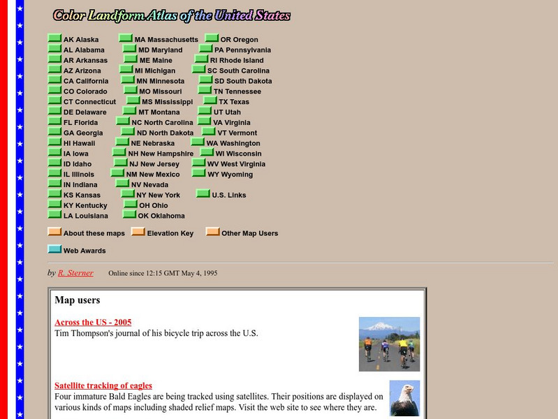
John Hopkins University: Color Landform Atlas of the u.s.
This site from John Hopkins University provides detailed maps of and physical information on each of the 50 states. Maps range from relief maps to satellite images, to historical maps.
Teacher Oz
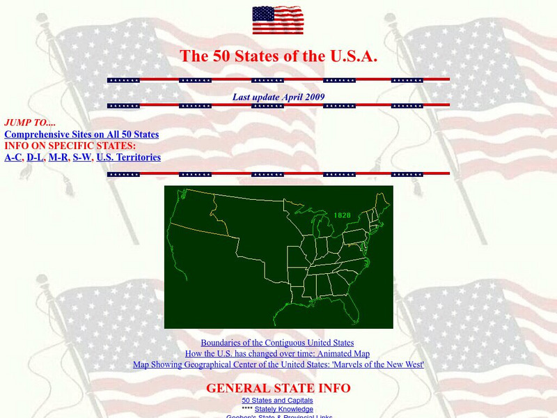
Teacher Oz: 50 States of the u.s.a.
A site with information such as maps, flags and songs of each of the 50 states in the US.
Ducksters
Ducksters: Geography Games: Map of the United States
Play this fun geography map game to learn about the locations of the 50 states of the United States.
Ducksters
Ducksters: Geography Games: Capital Cities of the United States
Play this fun geography map game to learn about the capitals of the 50 states of the United States.
Ducksters
Ducksters: Geography Games: Flags of the United States
Play this fun geography map game to learn about the flags of the 50 states of the United States.
Lizard Point Quizzes
Lizard Point: u.s.a.: States Quiz
Test your geography knowledge by taking this interactive quiz over the Unites States of America.
Curated OER
Etc: United States Growth in Population by Decades, 1900 1910
A map of the United States showing the increase in population per state between the 1900 and 1910 census. The map is keyed to show State population increases ranging from under 2 per cent to 50 per cent and over. "This is a map...
Digital Dialects
Digital Dialects: Geography Games: States of the Usa
Study a map showing the states in the USA, and then try to match their names to their locations on a blank map.
50 States
50 States: Blank Outline State Maps
All fifty states are linked here to outline maps of each. Also includes outline map of the United States.
Other
Letter People Geography
Mr. X of the Letter People has disappeared in one of the 50 U.S. States. You must use your U.S. geography skills to help track him down.
Curated OER
Etc: Maps Etc: Route of the Panama Isthmian Canal, 1904
A map from 1904 of the Panama Canal showing terrain relief of the isthmus, noting the 'Canal always follows the line of the Railroad’ from Colon to the city of Panama. "For generations the Panama Canal had been the dream of man and for...
Curated OER
Etc: Maps Etc: Long Distance Routes Between Boston and San Francisco, 1902
From Boston to San Francisco, showing 50 of the best business cities in the United States.
BBC
Bbc Mundo: Mundo Latino
A special BBC feature, originally done as part of 2000 election coverage, on the growing presence and voting power of Latinos in the United States. Click US states on a map to see where and how Latino influence will be felt over the next...


