California Academy of Science
Tropical Belt
Where in the world is the equator? Explore a world map with your class, coloring in oceans, continents, and rainforests while locating the three major lines of latitude: the equator, Tropic of Cancer, and Tropic of Capricorn. Discuss how...
Curated OER
Where in the World? The Basics of Latitude and Longitude
Learners are introduced to the concepts of latitude and longitude. In groups, they identify the Earth's magnetic field and the disadvantages of using compasses for navigation. They identify the major lines of latitude and longitude on a...
Calvin Crest Outdoor School
Survival
Equip young campers with important survival knowledge with a set of engaging lessons. Teammates work together to complete three outdoor activities, which include building a shelter, starting a campfire, and finding directions in the...
Curated OER
Globe Lesson 5 - Latitude - Grade 6+
In this latitude worksheet, students read a 3-paragraph review of latitude and respond to 12 short answer questions.
Curated OER
Where Am I?
Students apply map reading skills by locating places through the use of latitude and longitude.
Curated OER
Globe Lesson 10 - Latitude Zones - Grade 6+
In this latitude zones worksheet, middle schoolers read a 1-page review of latitude zones and respond to 7 short answer questions regarding the low, middle, and high latitude zones.
Curated OER
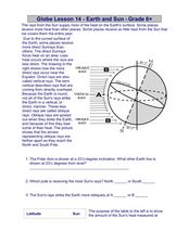
Globe Lesson 14 - Earth and Sun
In this Earth and Sun worksheet, students read 2 instructional passages and respond to 5 fill in the blank and short answer questions regarding these geographic topics.
Curated OER
Ozone Hole Expert Groups
Research topics associated with the hole in the ozone layer over Antarctica. Researchers write five facts about their topic and one question for each of those facts. They present what they learned to the rest of the class. Six topics are...
Curated OER
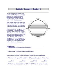
Latitude
In this latitude instructional activity, learners answer questions about latitude that include absolute locations of countries and coordinates. Students complete 12 questions.
Curated OER
Chart Interpretation
Learners study the use of a nautical chart and how to obtain information from it. They describe and differentiate the basic topographic characteristics of a chart and demonstrate the use of nautical tools used to plot fixed points on a...
Curated OER
Scavenger Hunt
Students study a research telescope to obtain quantitative information about these objects. They use the SkyServer Navigation Tool to identify objects and record celestial coordinates. In addition, they associate star brightness and...
Curated OER
Arctic vs. Antarctic
Learners describe the properties of the Arctic and the Antarctic. They write a report citing the similarities and differences of the two regions. They make a Venn diagram showing what they know about each.
Curated OER
How Does Temperature Change With Respect To Latitude and Longitude?
Students research the concept of predicting the weather. The research focuses on how some weather facts intuitively make sense. Students answer key questions based upon the mathematical concept of covariance.


