South Carolina Educational Television
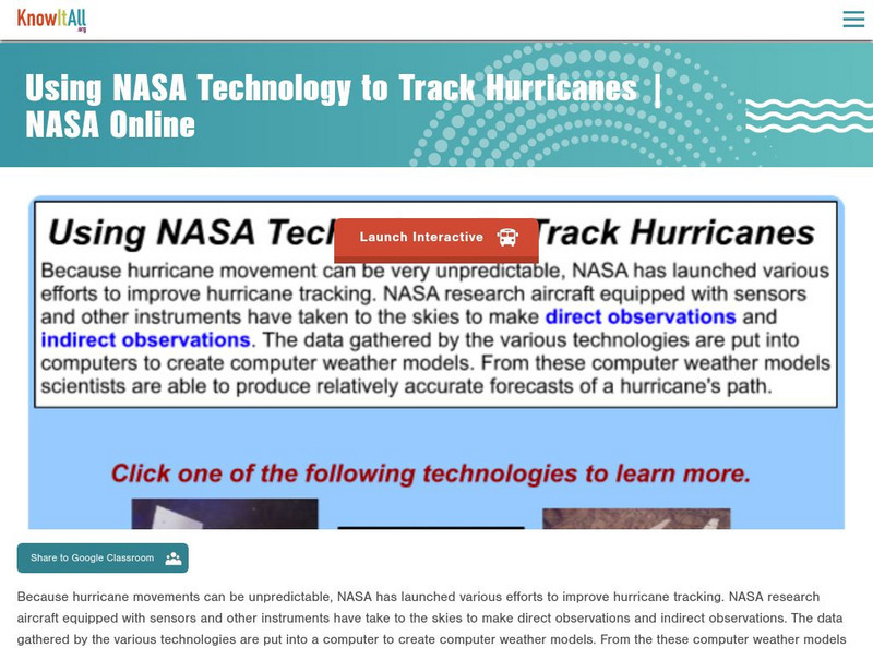
Etv: Nasa Online: Using Nasa Technology to Track Hurricanes
Learn how technology is used to track the formation, development and movement of hurricanes.
TeachEngineering
Teach Engineering: Hurricanes
Students learn what causes hurricanes and what engineers do to help protect people from destruction caused by hurricane winds and rain. Research and data collection vessels allow for scientists and engineers to model and predict weather...
BBC
Bbc: Hurricane Katrina
In-depth coverage of Hurricane Katrina from the BBC. Photographs, animated maps, video clips, and other resources can be found.
Other
The 1900 Storm: Remembering the Great Hurricane, September 8, 1900
The City of Galveston doesn't want the horrendous hurricane of 1900 to be forgotten. Read through the personal memoirs of those affected, see pictures of the devastation, and watch film clips that show the aftermath of the storm.
Other
Simple Science: Hurricane Central
Learners investigate images of Hurricane Katrina as it moved through the Gulf of Mexico in August 2005. The resource has students examine images, infrared radiation, water vapor, and visible radiation to plot and measure the path of...
TeachEngineering
Teach Engineering: Hurricane! Saving Lives With Reasoning & Computer Science
Students develop and apply the distance formula and an x-y coordinate plane on a hurricane tracking map, and then use a map scale to determine distance in miles. Then, using MATLAB computer science programming language, students help...
BBC
Bbc: Inside the Hurricane Zone
BBC News reporter gives his first-hand experiences as he tours neighborhoods stricken by Hurricane Katrina. Very intriguing September 2005 report.
BBC
Bbc: Timeline: How the Hurricane Crisis Unfolded
Detailed timeline of Hurricane Katrina from August 28-September 9, 2005. Links to other stories, video, and pictures accompany this excellent timeline.
NOAA
Noaa: Follow That Hurricane [Pdf]
Utilize data from historical hurricanes and a map of areas around the Atlantic Ocean to plot the paths of these potentially devastating storms.
FOX News
Fox News: Cat 5 Hurricane Rita Heads for Gulf
September, 2005, article discussing Hurricane Rita, its intensity, the evacuation of the Gulf Coast areas, and the possible impact. Along with the article are links to other resources, video, pictures, interactive map, and information on...
Science Education Resource Center at Carleton College
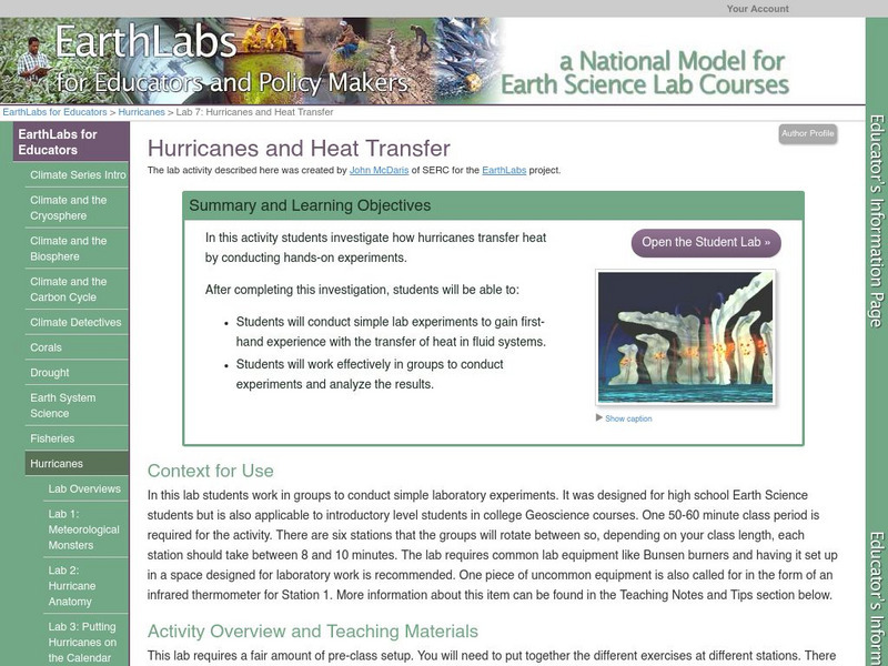
Serc: Lab 7: Hurricanes and Heat Transfer
A lab experiment in a series of experiments that explores hurricanes. In this lab experiment, students explore heat transfer and phase transitions as it relates to hurricanes.
Concord Consortium
Concord Consortium: Smartgraphs: Hurricane Katrina
Students are given graphs relating to Katrina, the hurricane that devastated New Orleans and much of the gulf coast in 2005, and are asked to identify various events, such as the moment when the hurricane made its closest approach to New...
Other
Kidstorm: Hurricanes
Get the facts on hurricanes with this detailed information page. This page includes photos, charts and satellite images.
NASA
Nasa: Hurricanes
Learn about hurricanes and how they are created. Features include video animation, the histories of the most devastating hurricanes and topics such as hurricane naming and hurricane study.
Dan Satterfield
Dan's Wild Weather Page: Hurricanes
Use this site to find out about hurricanes and how to track them.
PBS
Pbs: American Experience: The Hurricane of '38
Experience the devastating Hurricane of 1938 that roared up the east coast with survivor interviews, photos, and video clips. Includes an explanation of hurricane formation.
University Corporation for Atmospheric Research
Ucar: Hurricanes Impact Our Lives
Web weather site for kids highlights hurricanes. Discover how they are formed, the damage they can cause as well as read a weather story about surviving a hurricane.
NOAA
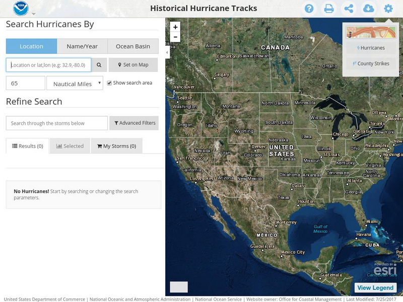
Noaa: Historical Hurricane Tracks
Enter storm names, dates, locations, or oceans to collect data of hurricanes from their path, dates of impact, and the intensity of the storms.
CNN
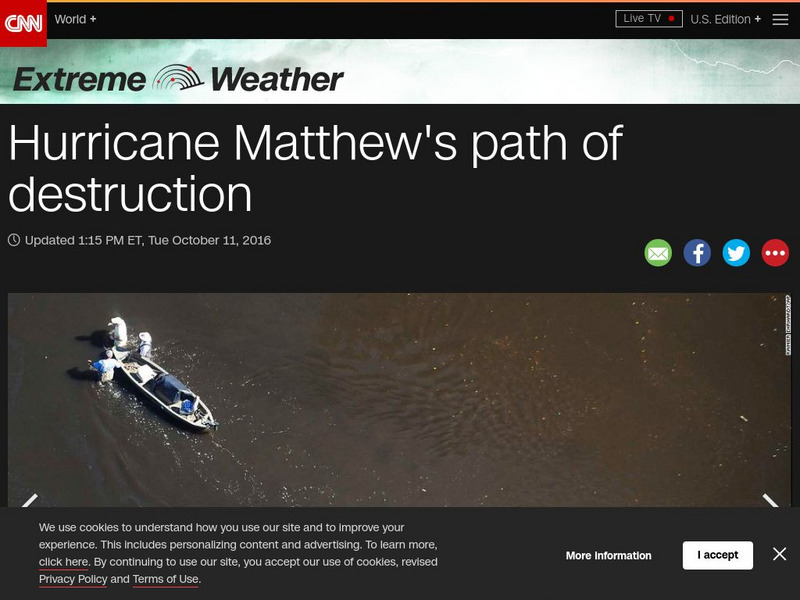
Cnn: Extreme Weather: Hurricane Matthew's Path of Destruction
Hurricane Matthew hit the Southeast United States after slamming island nations in the Caribbean. View images of the damage it left in its wake.
A&E Television
History.com: How Levee Failures Made Hurricane Katrina a Bigger Disaster
By the time Hurricane Katrina made landfall near Buras, Louisiana early on the morning of August 29, 2005, the flooding had already begun. In all, levees and floodwalls in New Orleans and surrounding areas fell in more than 50 locations...
University of Wisconsin
The Why Files: Hurricanes
Learn about what it takes to be a hurricane and how hurricane tracking has improved over the years.
NASA
Sci Jinks: Simulate a Hurricane
Try building a hurricane by selecting specific aspects critical to creating the storm. Take a look at the paths storms take, too.
South Carolina Educational Television
Know It All Media: Tracking Hurricane Technology
Find out how scientists have improved hurricane tracking technology through new aircraft and advanced instruments.
Other
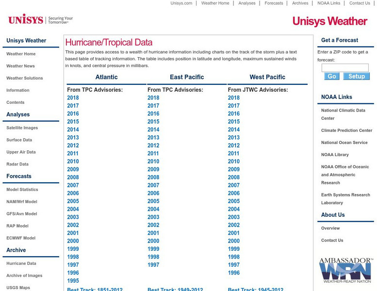
Unisys: Hurricanes/tropical Data
There is a table that has links to hurricanes in the Atlantic from 1995, East Pacific from 1997, West Pacific from 1996, South Pacific from 2000, and South India from 2000. This page has a satellite map and the Saffir-Simpson Scale.
Other popular searches
- Hurricanes and Tornadoes
- Effects of Hurricanes
- Hurricanes Math Lessons
- Tracking Hurricanes
- Hurricanes in the Caribbean
- Formation of Hurricanes
- Hurricanes and Excel
- Hurricanes vs Tornado's
- Earth Science Hurricanes
- Plotting Hurricanes
- Hurricanes Poster
- Comprehension About Hurricanes


