Countries and Their Cultures
Countries and Their Cultures: Multicultural America: Puerto Rican Americans
Provides an overview of the traditional culture and lifestyle of Puerto Rican Americans. (Note: Content is not the most current.)
Digital Public Library of America
Dpla: Puerto Rican Migration to the Us
This primary source set uses maps, documents, and photographs to tell the story of Puerto Rican migration to the United States.
Other
El Castellano: Las Radios en Espanol, Pais Por Pais
More than 100 Spanish-speaking radio stations, listed country by country, that can be accessed on the internet. A great way to develop skills in listening comprehension! Some sites may be inactive, but the majority are up and running....
Patrick McSherry
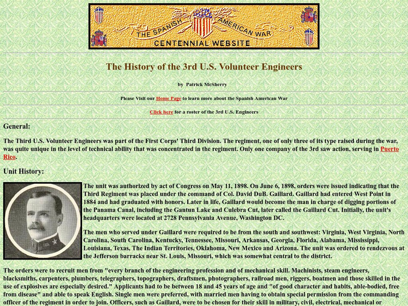
Spanish American War Centennial: 3rd u.s. Volunteer Engineers
Check out this page for a history of this regiment and the role it played in Puerto Rico during the Spanish-American War.
Patrick McSherry
Spanish American War Centennial: Second Wisconsin Volunteer Infantry
This site contains the brief history of the 2nd Wisconsin Volunteer Infantry. This unit served in Puerto Rico during the Spanish-American War.
Curated OER
Etc: Maps Etc: Puerto Rico and Neighboring Islands, 1916
A map from 1916 of Puerto Rico, St. Thomas, St. Croix, and St. John showing terrain and coastal features, rivers, principal cities, towns, and ports, and railroads. The map uses color-contouring to show land elevations from sea level to...
Curated OER
Etc: Maps Etc: Cuba, Puerto Rico, and Jamaica, 1910
A map from 1910 of Cuba, Jamaica, and Porto Rico (Puerto Rico), showing provinces, capitals and major cities, mountain systems, rivers, coastal features, and smaller banks and islands. Several inset maps are given, including a general...
Curated OER
Educational Technology Clearinghouse: Maps Etc: Puerto Rico, 1920
A map from 1919 of Porto Rico (Puerto Rico) with inset maps of the islands to the west and east belonging to Puerto Rico. The map shows the capital of San Juan, major cities and towns, steamship lines, railways, lakes and rivers,...
Curated OER
Educational Technology Clearinghouse: Maps Etc: Puerto Rico, 1903
A map from 1903 of Puerto Rico, here referred to as Porto Rico. The map shows the capital San Juan, principal towns and ports, and neighboring islands.
Other
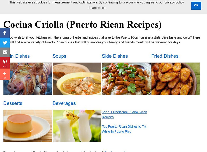
Welcome to Puerto Rico!: Cocina Criolla
Numerous recipes from Welcome to Puerto Rico.org. Soups, meats, fried dishes and desserts among others. Some recipes in Spanish.
Curated OER
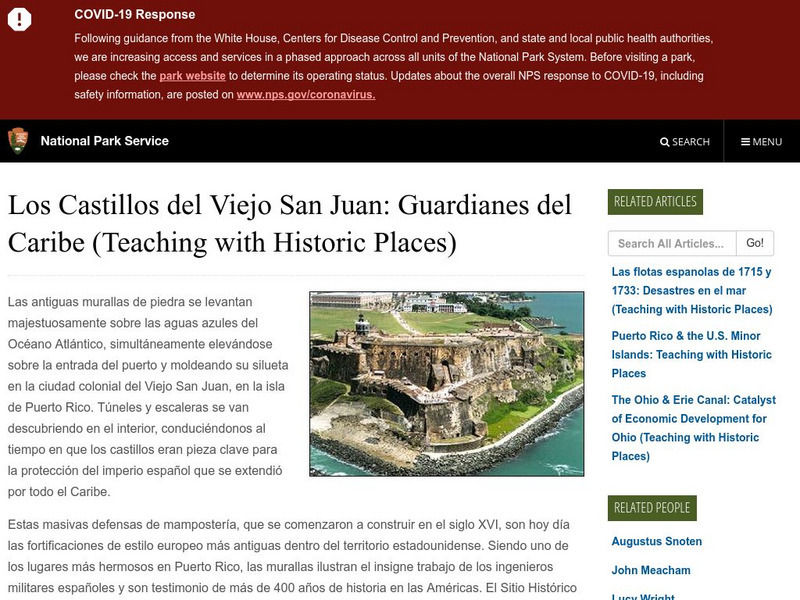
National Park Service: Los Castillos Del Viejo San Juan: Guardianes Del Caribe
A great site for Spanish Exploration. See one of the greatest fortresses in the Western Hemisphere. King Phillip IV called it "The front and vanguard of all my West Indies, and consequently the most important of them all and the most...
Curated OER
Association of Religion Data Archives: National Profiles: Puerto Rico
Learn about religion in Puerto Rico, in this Association of Religion Data Archives country profile; includes general facts, history, and religious data.
Patrick McSherry
Spanish American War Centennial: The Letters of Private Peter Hertzog
One of a series of letters written home by Peter Hertzog of the 4th Pennsylvania Volunteer Infantry, Co. B. Hertzog describes the events as his regiment travelled to Camp Thomas at Chickmauga, Georgia as well as his service in the...
Other
Universidad Interamericana De Puerto Rico: Desigualidades
Spanish content. Clear step by step directions and examples on how to solve inequalities with one variable. A great supplement in algebra class for the Spanish speaking student.
Library of Congress
Loc: Literature of Spanish American War
Provides links to some of the prominent authors during the Spanish-American War from Puerto Rico, Cuba, and the United States.
Other
Temas Puertorriquenos Cuentos Y Poemas
Short stories and poems in Spanish from Puerto Rico for K-12 students.
Other
El Boricua Favorite Links
Collection of recommended links to sites related to Puerto Rico and its history, people, and culture. A good starting point for research on Puerto Rico!
Library of Congress
Loc: Hispanic Division: Ramon Emeterio Betances
A brief biography of Ramon Emeterio Betances, a Puerto Rican revolutionary who helped lead a revolt, Grito de Lares, against Spain in 1868.
PBS
Pbs: Masterpiece Theatre: Almost a Woman
This site provides teachers with instructional activities to use when teaching the novel Almost a Woman by Esmeralda Santiago. It contains links to the poetry of other Puerto Rican authors and essays about the Puerto Rican/American...
PBS
Pbs: Representation & Diversity on Stage/screen: Raul Julia: The World's a Stage
Despite Raul Julia's talents, opportunities for Latinx actors in the United States in the 1960's were scarce. In this series of two videos from the American Masters film Raul Julia: The World's a Stage, Esai Morales, Edward James Olmos...
Curated OER
Educational Technology Clearinghouse: Maps Etc: Porto Rico, 1914
A map from 1914 of Porto Rico (Puerto Rico) with inset maps of the islands to the west and east belonging to Porto Rico. The map shows the capital of San Juan, major cities and towns, steamship lines, railways, lakes and rivers,...
Curated OER
Educational Technology Clearinghouse: Maps Etc: Porto Rico, 1901
A map from 1901 of the island of Puerto Rico, showing departments, main roads, cart roads, railroads, towns, and cities. Inset maps detail San Juan and Port San Juan, and the islands to the east of Puerto Rico.
Other popular searches
- History of Puerto Rico
- Puerto Rico Art Activity
- Education Reform Puerto Rico
- Puerto Rico 1
- Puerto Rico Map
- Map of Puerto Rico
- Cuba, Haiti, Puerto Rico
- Geography Puerto Rico
- Maps of Puerto Rico
- Christmas in Puerto Rico
- Rainforest Puerto Rico
- Puerto Rico Country Project


