Curated OER
Etc: Maps Etc: Migrations of Early Native Peoples, 1889
A sketch map of North America from 1888 showing the probable lines of migration and distribution of the American Tribes, including the Esquimaux (Eskimo), West Coast Tribes, Tinne, Algonquin Tribes, and the Alleghans and Toltecans, based...
Curated OER
Educational Technology Clearinghouse: Maps Etc: South America, 1885
An orographic map of South America from 1885 showing the primary mountain systems and general elevations. The map is color-coded to show highlands in buff tint, lowlands in green, and the major mountain chains with heavy black lines. The...
Curated OER
Unesco: Canada: S Gang Gwaay
The village of Ninstints (Nans Dins) is located on a small island off the west coast of the Queen Charlotte Islands (Haida Gwaii). Remains of houses, together with carved mortuary and memorial poles, illustrate the Haida people's art and...
Curated OER
Unesco: Denmark: Ilulissat Icefjord
Located on the west coast of Greenland, 250 km north of the Arctic Circle, Greenland’s Ilulissat Icefjord (40,240 ha) is the sea mouth of Sermeq Kujalleq, one of the few glaciers through which the Greenland ice cap reaches the sea....
Curated OER
Unesco: Canada: Gros Morne National Park
Situated on the west coast of the island of Newfoundland, the park provides a rare example of the process of continental drift, where deep ocean crust and the rocks of the earth's mantle lie exposed. More recent glacial action has...
Curated OER
Wikipedia: National Historic Landmarks in California: Paramount Theatre
The largest theatre on the West Coast when it was built, it is notable for its Art Deco appearance. It is the home of the Oakland East Bay Symphony and the Oakland Ballet and is managed by a nonprofit organization.
Curated OER
Wikipedia: National Historic Landmarks in California: Berkeley (Ferry)
First propeller-driven ferry on the west coast; currently the main "building" of the Maritime Museum of San Diego.
Curated OER
Wikipedia: Natl Historic Landmarks in California: Mission Beach Roller Coaster
one of only 2 remaining wooden coasters on the West coast, it was built in 1925 by noted coaster builders Prior and Church. It was saved from destruction in 1987, restored, and is still operating today.
Curated OER
Wikipedia: Natl Historic Landmarks in Washington (State): Virginia v (Steamer)
Constructed in 1922, the Virginia V is the last functioning ship of the Puget Sound Mosquito Fleet, and the only "wooden-hull, steam-powered, passenger vessel" that operates on the West Coast of the United States.
Curated OER
Wikipedia: National Historic Landmarks in California: Mare Island Naval Shipyard
The first US naval facility on the West Coast, it built and supported WWII naval forces as well as nuclear submarines. It closed in 1996 and is currently under redevelopment which is threatening the historic buildings.
Curated OER
Portrait: George Vancouver
This page gives biographical information about George Vancouver, an early explorer and geographer who mapped the West coast from Mexico to Alaska. It is written for ages 14 and up and complements one designed for ages 9-12.
University of Groningen
American History: Outlines: The First Europeans
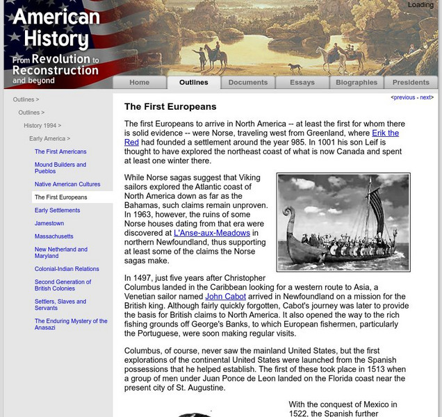
The first Europeans to arrive in North America -- at least the first for whom there is solid evidence -- were Norse, traveling west from Greenland, where Erik the Red had founded a settlement around the year 985. In 1001 his son Leif is...
University of Groningen
American History: Outlines: Colonial Indian Relations
By 1640 the British had solid colonies established along the New England coast and the Chesapeake Bay. In between were the Dutch and the tiny Swedish community. To the west were the original Americans, the Indians.
University of Groningen
American History: Outlines: War of 1812
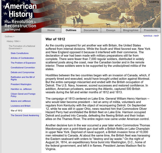
As the country prepared for yet another war with Britain, the United States suffered from internal divisions. While the South and West favored war, New York and New England opposed it because it interfered with their commerce. The...
Countries and Their Cultures
Countries and Their Cultures: Samaritans
The Samaritans are a sect numbering about 500 who currently reside in Nablus, on the west bank of the Jordan River in Israeli-occupied Jordan, and in Holon, south of Tel Aviv, on the Mediterranean coast of Israel. The Samaritans call...
Open Door Team
Open Door Web Site: France in Western Africa
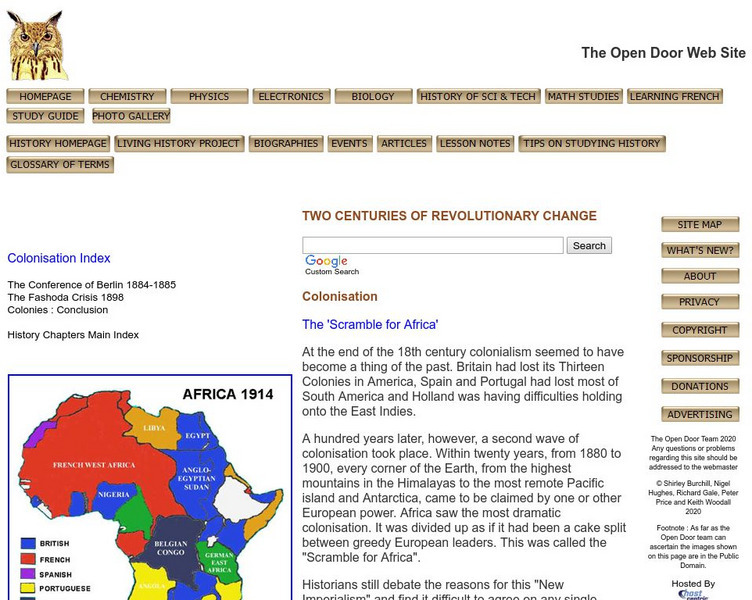
A brief explanation of French imperialist desires and holdings in Western Africa.
Library of Congress
Loc: Earth as Art: A Landsat Perspective
A really cool site showing Satellite (Landsat 7) images of unique geographical and meteorological phenomena. Images show cloud formations to rainforest devastation.
Curated OER
Educational Technology Clearinghouse: Maps Etc: Drawing North America, 1872
A map exercise from 1872 for drawing North America. The map shows the general outline of the coasts, major waters and rivers, and a vertical profile cross-section of the continent from the San Francisco Bay area to Cape Hatteras....
Curated OER
Etc: Maps Etc: Mean Average Temperatures in North America, 1906
A map from 1906 of North America showing the mean annual isotherms of the region given in degrees Fahrenheit. "The climate of North America naturally varies greatly, depending on latitude, the general atmospheric circulation or direction...
Curated OER
Etc: Maps Etc: Sketch Map of Mid Century Africa, Circa 1850
A map of Africa around the middle of the nineteenth century showing European interests on the continent prior to the Berlin Conference of 1885, which established their territorial claims. The majority of the continent was unexplored at...
Curated OER
Educational Technology Clearinghouse: Maps Etc: Rainfall in North America, 1898
A map from 1898 of North America, Central America, Greenland, and the Caribbean to Puerto Rico showing the general distribution of rainfall in the region. The map shows areas of little or no rainfall to areas of heavy rainfall. The map...
Curated OER
Unesco: Japan: Iwami Ginzan Silver Mine and Its Cultural Landscape
The Iwami Ginzan Silver Mine in the south-west of Honshu Island is a cluster of mountains, rising to 600 m and interspersed by deep river valleys featuring the archaeological remains of large-scale mines, smelting and refining sites and...
Curated OER
Educational Technology Clearinghouse: Maps Etc: The United States, 1800
A map of the United States in 1800 showing the territorial claims of the states at the time, the British and French possessions, and territory disputes. The map shows the frontier lines or extent of settlement from the coast of Maine to...
Curated OER
Educational Technology Clearinghouse: Maps Etc: The Early United States, 1790
A map of the United States in 1790 showing the territorial claims of the states at the time, and the British and Spanish possessions and territory disputes. The map shows the frontier lines or extent of settlement from the coast of Maine...


