Library of Congress
Loc: Discovery and Exploration
This American Memory site documents the discovery and exploration of the Americas with both manuscripts and published maps, many of which date from the European Age of Discovery. The site includes 22 map titles and descriptions, as well...
University of Calgary
European Voyages of Exploration: Geography and Cartography
This site provides information on mapmaking and cartograohy of the early explorers. Includes pictures of maps.
National Endowment for the Humanities
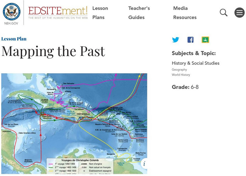
Neh: Edsit Ement: Mapping the Past
Students will examine European world maps from the Middle Ages, the Age of Discovery, and the period of New World exploration. They will then look at maps that record the early exploration of the American West and collect present-day...
Annenberg Foundation
Annenberg Learner: Renaissance: Exploration and Trade
Detailed introduction on exploration and trade during the Renaissance. Provides an overview of the tools created during the Middle Ages that made such travels by sea possible as well as insight into the types of goods traders sought in...
Harvard University
Open Collections Program: Expeditions and Discoveries: Modern Age
An inclusive collection of maps, field notes, photos and letters of Harvard sponsored explorations and discoveries during the 19th and 20th centuries.
PBS
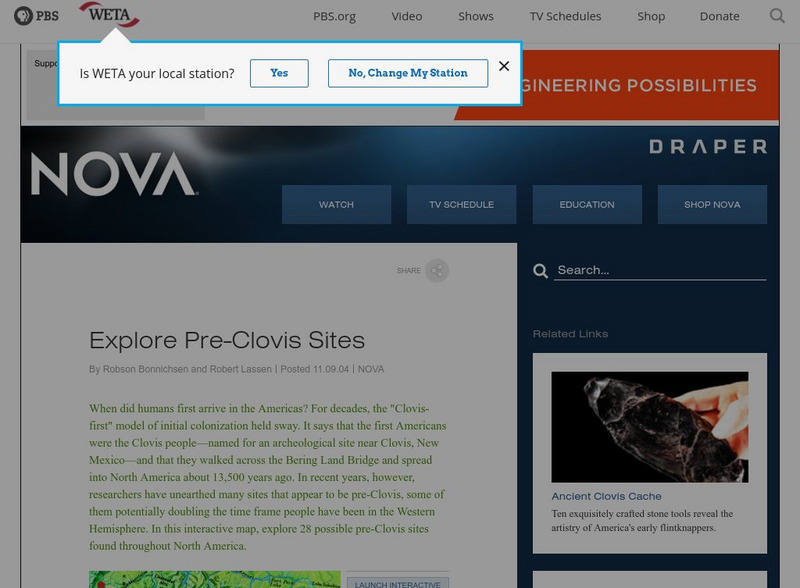
Nova: America's Stone Age Explorers: Before Clovis
A terrific map from NOVA showing pre-Clovis sites in North America. The key tells where the site is, what was found there, and when Paleoindians inhabited the site.
The Newberry Library
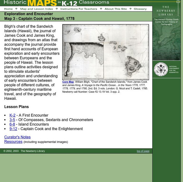
Newberry: Exploration and Encounter: Map 3, Captain Cook and Hawaii, 1778
Map and primary source information provide first-hand account of exploration and encounters between Europeans and Hawaiians. Includes lesson plans for k-12, links to reference material and supplemental resources, and curators notes.
Other
Beyond the Map: Dividing the World: Treaty of Tordesillas
An interesting look at the Treaty of Tordesillas, how it affected Spanish and Portuguese exploration, and how it was ignored by other countries.
British Library
British Library: Discovering Literature: Travel, Trade and Exploration in the Middle Ages
Medieval Europeans were fascinated by the lands that lay beyond their own continent. This article looks at the real and imaginary travels of explorers and tradesmen through works including The Book of John Mandeville, The Travels of...
Khan Academy
Khan Academy: An Age of Adventure
Learn about the adventures of Marco Polo, Ibn Battuta, and Zheng He on this site. Compare their journeys with charts and maps that are found here.
Other
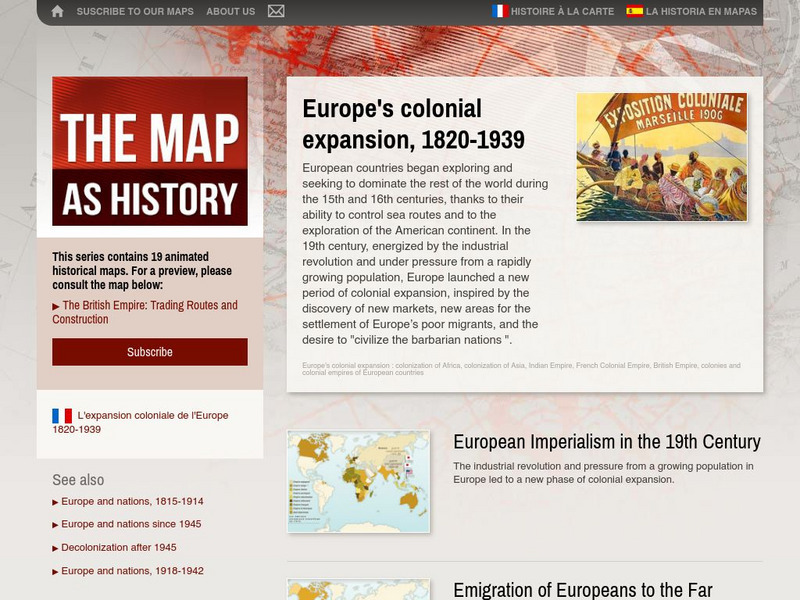
The Map as History: Europe's Colonial Expanision 1820 1939
European countries began exploring and seeking to dominate the rest of the world during the 15th and 16th centuries, thanks to their ability to control sea routes and to the discovery of the American continent. In the 19th century,...
Pamela Seed
The Art and Science of Fifteenth Century Navigation: Latitude
Chronicle of the changes that occurred in various areas when latitude was identified in 1516. Site includes links to the changes in maps, compass roses, and the science of sailing.
Library of Congress
Loc: Portuguese Mapping the New World
The Library of Congress provides a discussion of the importance of Portugal in the "European Age of Discovery and Exploration." Includes links to related pages within this same Library of Congress site.
Pennsylvania Historical and Museum Comission
Explore Pa History: Making Steel
Examine the historical and economic impact of the Pennsylvania's steel industry. Included in this historical account are video, maps, and pictorial artifacts of this era.
NASA
Nasa: Precipitation Towers: Modeling Weather Data
This lesson uses stacking cubes as a way to graph precipitation data, comparing the precipitation averages and seasonal patterns for several locations. Variations on the lesson can accommodate various ages and ability levels. Students...
National Library of France
National Library of France: Heaven and Earth
Learn how art through the ages has been influenced by the Earth and the heavens. See paintings that attempted to explain the Earth's creation from a scientific standpoint, sacred architecture that provided a place to worship the heavens,...
University of Virginia
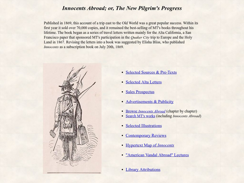
University of Virginia: Innocents Abroad; Or, the New Pilgrim's Progress
Extensive collection from the University of Virginia that explores many aspects of Twain's short story, "Innocents Abroad; or, The New Pilgrim's Progress." Included are links that examine pre-texts, letters, sales, advertisement,...
Digital Public Library of America
Dpla: American Empire
This exhibition explores the origins, development, and eventual fall of the American empire and maps the diverse and rocky terrain of the American empire to show how it informs contemporary conversations on heritage, citizenship, racism,...
ibiblio
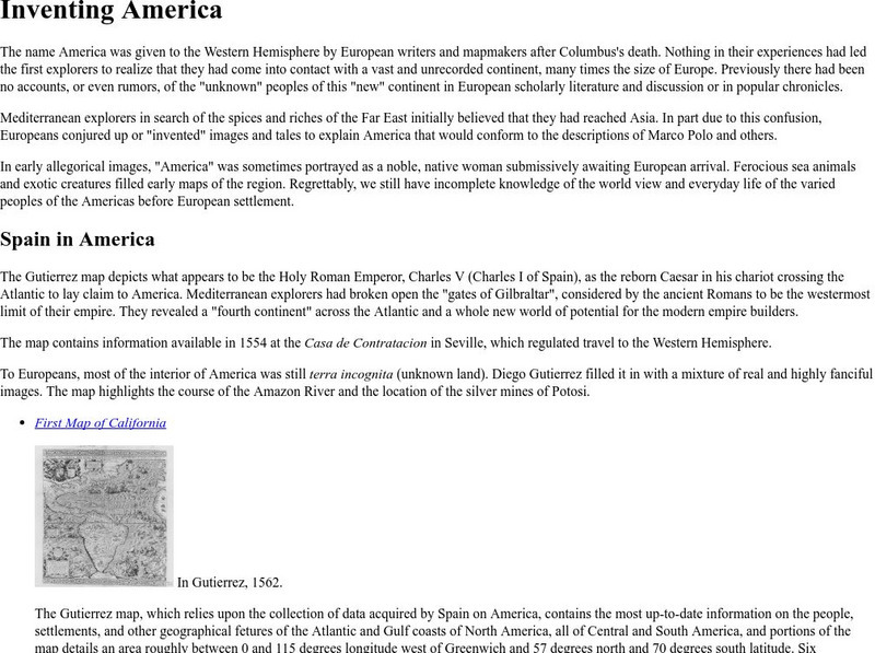
Ibiblio: 1492: An Ongoing Vogage: Inventing America
Archived exhibition reveals how European writers and mapmakers thought about America during the Age of Discovery. Describes the allegorical images Europeans sometimes used to portray America and features the Gutierrez map, drawn in 1562,...
American Geosciences Institute
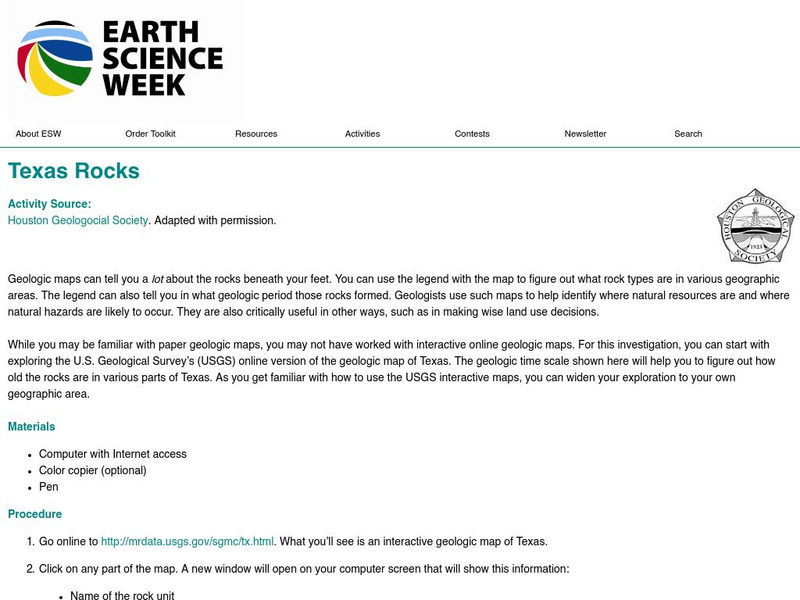
American Geosciences Institute: Earth Science Week: Texas Rocks
For this investigation, students start exploring the U.S. Geological Survey's (USGS) online version of the geologic map of Texas. The geologic time scale shown will help them figure out how old the rocks are in various parts of Texas.
PBS
Wnet: Thirteen: Africa: Teacher's Guide
Explore the world of Africa through these teacher's guides. This site features teacher tools for middle school age students.
Other
Exploring the Past: An Archeological Journey
Through an overview of past archeological expeditions, the author recounts the "Land Bridge" theory and delves into the life of the first inhabitants of North America.
Natural History Museum
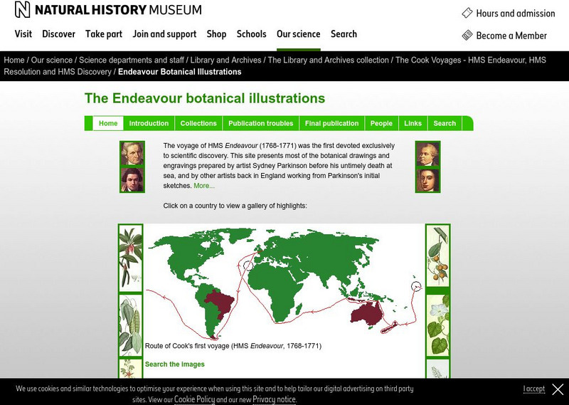
Natural History Museum (London): The Endeavour Botanical Illustrations
A series of articles and online exhibits that gives information on the various specimens, plants and animals that were collected and illustrations were then made. Cook led the world's first scientific naval expedition to the South Pacific.
BBC
Bbc: Captain Cook: Explorer, Navigator and Pioneer
A engaging biography of the great British explorer that discusses not only his contributions to expanding the British empire but also his work in the prevention of scurvy. Archived.


