Library of Congress
Loc: America's Story: Arizona Became a New Territory
This 2-page article provides information about how Arizona became a new territory on February 24, 1863, and the corresponding silver and gold rush that encompassed the area.
Annenberg Foundation
Annenberg Learner: America's History in the Making: Taming the American West
Comprehensive teaching unit that explores the settling of the American West in the late 1800s and the challenges these settlers faced. Contains video and text materials, web interactives, student oriented activities, and a timeline of...
Library of Congress
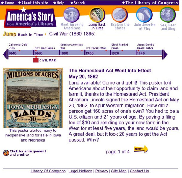
Loc: America's Story: The Homestead Act Went Into Effect
This 4-page article discusses the Homestead Act of 1862 and its effects.
Smithsonian Institution
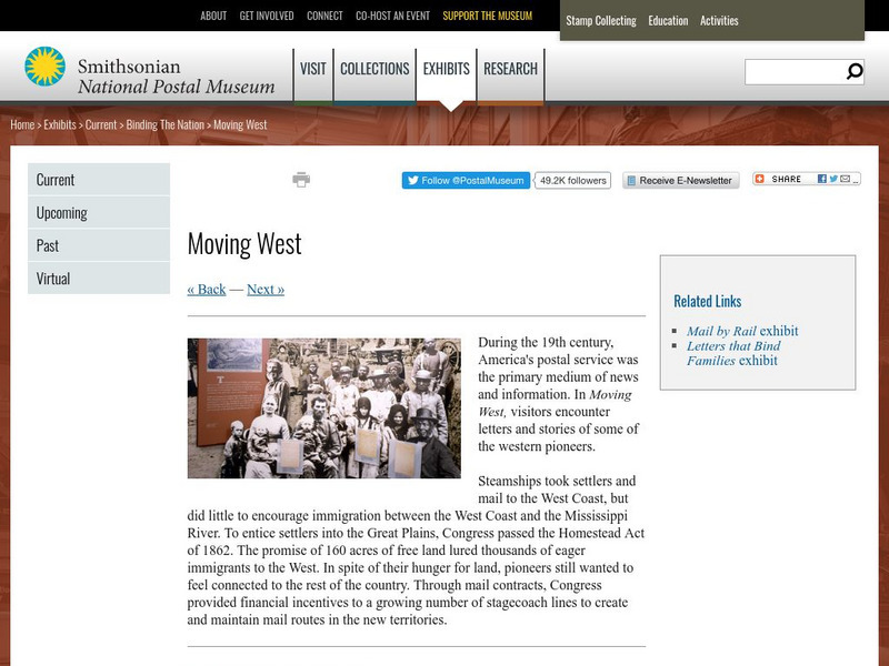
National Postal Museum: Moving West
The National Postal Museum provides an intimate look at how America's postal service expanded to meet the needs of westward-moving settlers during the nineteenth century. Content includes a selection of letters written at the time, a...
Library of Congress
Loc: Encountering the American West: Ohio River Valley 1750 1820
This is a PDF of the information from LOC of the exhibition of America's move to its first West, that of the Ohio River Valley. Discussion includes these topics: Contested Lands, Peoples and Migrations, Empires and Politics, Western Life...
Curated OER
Etc: Maps Etc: Mexico and Western North America, 1845
A map of Mexico in 1845, prior to the ceding of the northern territories to the United States in 1846. The map shows the territories of Oregon, Texas, and Central America under Mexican control, and the frontiers of the Missouri and...
Curated OER
Etc: Champlain and Mohawk Frontiers, 1609 1763
A map of the Lake Champlain region and Mohawk frontiers during the period between the battle of Samuel Champlain against the Iroquois in 1609 near Crown Point and Ticonderoga, and the end of the French and Indian War in 1763. The map...
Utah Education Network
Uen: Utah History Encyclopedia: Pony Express in Utah
This resource provides concise historical information concerning the Pony Express in Utah.
Other
Pony Express Home Station: Pony Express Quiz
A short multiple-choice quiz on the Pony Express.
Curated OER
Educational Technology Clearinghouse: Maps Etc: The Early United States, 1790
A map of the United States in 1790 showing the territorial claims of the states at the time, and the British and Spanish possessions and territory disputes. The map shows the frontier lines or extent of settlement from the coast of Maine...
Curated OER
Educational Technology Clearinghouse: Maps Etc: The United States, 1800
A map of the United States in 1800 showing the territorial claims of the states at the time, the British and French possessions, and territory disputes. The map shows the frontier lines or extent of settlement from the coast of Maine to...
Curated OER
The u.s. At the Close of the Revolution, Showing Land Claims of States, 1911
A map of the United States at the close of the American Revolution showing the western land claims extending to the Mississippi River by the individual states after the Treaty of 1783 with Britain. The map shows the frontiers with the...


