Curated OER
Educational Technology Clearinghouse: Maps Etc: South America, 1906
A map of South America from 1906 showing the political boundaries of the time. The map shows capitals, major cities, ports, rivers, and coastal features. An inset map shows the Galapagos Islands.
Curated OER
Educational Technology Clearinghouse: Maps Etc: South America, 1909
A map of South America from 1909 showing the political boundaries of the time. The map shows capitals, major cities, ports, rivers, and coastal features. An inset map shows the Galapagos Islands.
Curated OER
Educational Technology Clearinghouse: Maps Etc: South America, 1919
A map of South America from 1919 showing the political boundaries of the time. The map shows capitals, major cities, ports, rivers, and coastal features. An inset map shows the Galapagos Islands.
Curated OER
Educational Technology Clearinghouse: Maps Etc: South America, 1920
A map of South America from 1920 showing the political boundaries of the time. The map shows capitals, major cities, ports, rivers, terrain, and coastal features. An inset map shows the Galapagos Islands.
Curated OER
Educational Technology Clearinghouse: Maps Etc: South America, 1920
A map of South America from 1920 showing the political boundaries of the time. The map shows capitals, major cities, ports, rivers, and coastal features. An inset map shows the Galapagos Islands. A key-grid reference to countries and...
Curated OER
Educational Technology Clearinghouse: Maps Etc: South America, 1901
A map of South America from 1901 showing the political boundaries of the time. The map shows capitals, major cities, ports, railroads, rivers, and coastal features. An inset map shows the Isthmus of Panama with the railroad from the...
Curated OER
Educational Technology Clearinghouse: Maps Etc: South America, 1910
A map of South America in 1910 showing the political boundaries of the time. The map is color-coded to distinguish between states, and shows the territorial dispute along the Columbian and Ecuadorian frontier in 1910. The map shows...
Curated OER
Educational Technology Clearinghouse: Maps Etc: South America, 1870
A map of South America from 1870 showing the political boundaries of the time. The map shows capitals, major cities, ports, rivers, terrain and coastal features. Mountain chains and systems are shown by hatchure. An outline map of...
Curated OER
Educational Technology Clearinghouse: Maps Etc: South America, 1901
A map from 1901 of South America showing the political boundaries at the time, including Columbia (extending to Costa Rica), Venezuela, Guiana (British, Dutch, and French), Ecuador, Peru, Brazil, Bolivia, Chile, Argentine Republic, and...
Curated OER
Educational Technology Clearinghouse: Maps Etc: South America, 1906
A map of South America from 1906 showing the political boundaries of the time. The map shows capitals, major cities, ports, rivers, terrain and coastal features. An outline map of Pennsylvania at the same map scale is included to show...
Curated OER
Educational Technology Clearinghouse: Maps Etc: South America, 1897
A map of South America from 1897 showing the political boundaries of the time. The map shows capitals, major cities, ports, rivers, and coastal features.
Curated OER
Educational Technology Clearinghouse: Maps Etc: South America, 1885
A map of South America from 1885 showing the political boundaries of the time. The map shows capitals, major cities, ports, railroads, rivers, terrain, and coastal features.
Curated OER
Educational Technology Clearinghouse: Maps Etc: South America, 1910
A map of South America from 1910 showing the political boundaries of the time. The map shows capitals, major cities, ports, rivers, terrain and coastal features. The size of city labels indicate general population of the city at the time.
Curated OER
Educational Technology Clearinghouse: Maps Etc: South America, 1920
A map of South America from 1920 showing the political boundaries of the time.
Curated OER
Educational Technology Clearinghouse: Maps Etc: Patagonia, 1911
A map from 1911 showing the region of Patagonia at the southern tip of South America from Buenos Aires in Argentina to Cape Horn on Tierra del Fuego, and includes the Falkland Islands (Islas Malvinas) as a British possession. The map...
Curated OER
Educational Technology Clearinghouse: Maps Etc: North America, 1915
Political boundaries throughout North America.
Curated OER
Educational Technology Clearinghouse: Maps Etc: Peru and Bolivia, 1906
A map of Peru and Bolivia from 1906 showing the political boundaries at that time. The map shows the capital cities of Lima (Peru) and La Paz (Bolivia), major cities, towns, and ports, railroads, rivers, lakes, mountains and terrain, and...
Curated OER
Educational Technology Clearinghouse: Maps Etc: Chile and Argentina, 1911
A map from 1911 showing the political boundaries of Argentina, Chile, Paraguay, and Uruguay at the time. Bordering portions of Brazil and Bolivia are also shown. State boundaries are shown in red, and the map includes capitals, major...
Other
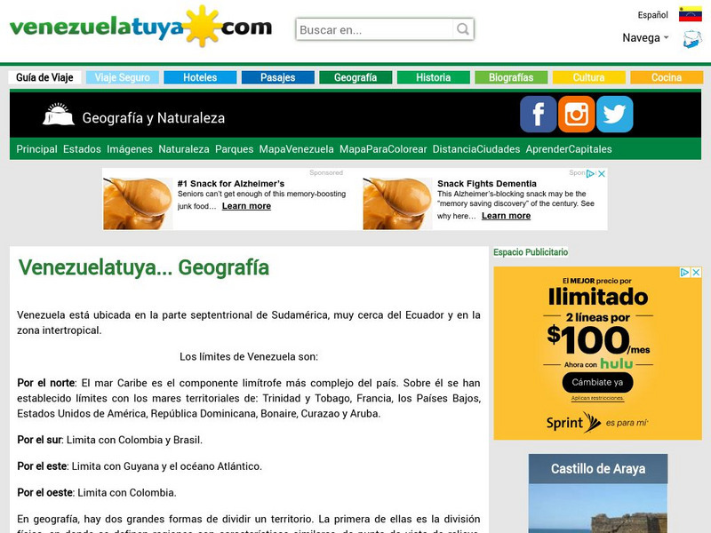
Venezuela: Geografia
This site from Venezuelatuya.com shows maps of the different geographical and political divisions of Venezuela. The first maps show geographical divisions. The last map shows political/administrative divisions along with Venezuela's...
Other
Country Reports: Colombia
This useful guide provides general country information about Colombia including topics such as culture, history, geography, economy, population, government, symbols, and a map. Some pages are only available to subscribers.
Other
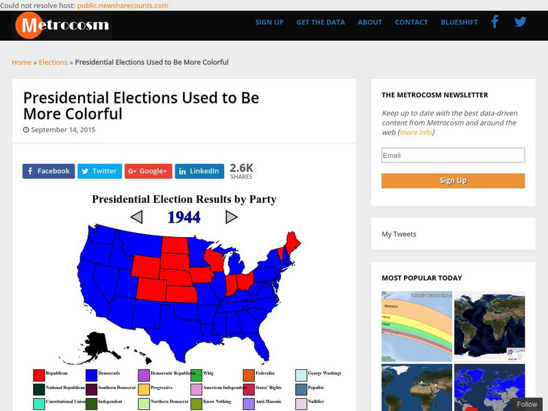
Metrocosm: Presidential Elections Used to Be More Colorful
As we have seen in the last few presidential elections, America is becoming more divided into so-called red and blue states. Visualize the evolution of this phenomenon by studying these election maps that show the progression of our...
Digital Public Library of America
Dpla: The Panama Canal
This primary source set includes photographs, documents, maps, and footage that can be used to explore the stories of environmental issues, political struggle, and human labor that built the Panama Canal.
Curated OER
Etc: The West Indies and Mexico, 1898 1906
A map from 1907 of Mexico, Central America, and the West Indies (Greater Antilles to Puerto Rico) between the Spanish-American War in 1898 and the Third Pan-American Conference in 1906. The map shows the political boundaries in 1906,...
Curated OER
Etc: West Indies and Mexico, 1898 1906
A map of the West Indies and Mexico between 1898 and 1906, showing political boundaries at the time, capitals, major cities and ports, railroads and canals, rivers, terrain, islands, and coastal features of the region. Inset maps detail...


