Curated OER
Properties of Fresh and Sea Water
Students work with three stations to demonstrate the properties of water. They explore water's boiling point, freezing point, and its ability to store heat.
Curated OER
Cloud Observations using GLOBE Protocols
Pupils observe which of ten types of clouds are visible and how much of the sky is cloud covered. They see that by observing clouds, we can get information about temperature, moisture, and wind conditions in different places in the...
Curated OER
What is the Rock Cycle and Its Processes?
Geology beginners examine three different rock samples and determine their origin by their characteristics. By making and recording observations, they become familiar with features of igneous, metamorphic, and sedimentary rock types....
Alabama Learning Exchange
Researching Hurricanes with Technology
Young scholars explain the components that make up a hurricane.
Curated OER
Acid and Rain and Its Effects
Students work in groups for up to three weeks to investigate the possibility of acid rain in your area and to investigate the damage that acid rain can do to buildings, monuments, and plants. Each group prepares a report to local...
Curated OER
Scientist Tracking Network
Students correlate surface radiation with mean surface temperature of several geographic regions. They observe how these parameters change with latitude and construct an understanding of the relationship of solar radiation to seasonal...
Curated OER
"We're Back ... Eagles Soar!"
Students use information from Internet websites to create a map of where Bald Eagle habitats can be found after being familiarized with the map by the instructor.
Curated OER
What's Under My Feet?
Students choose one rock from a collection of igneous, metamorphic, and sedimentary rocks. They use multiple resources to create an informational brochure highlighting their rock. The brochures are combined into a class rock museum to be...
Curated OER
Mapping West Virginia
Fourth graders explore West Virginia. In this Unites States geography instructional activity, 4th graders discuss the type of land and the cities in West Virginia. Students create two overlays, with transparencies, that show the natural...
Curated OER
Using Soil properties and Vegetation Differences to Hypothesize the Land Use History and Topographic Differences between Two Locations
Ninth graders take soil samples and perform tests on these samples.
Curated OER
Namib From Space
Students view photos of the Namib Desert from space as they appear on the World Wide Web. They study the photos and identify landmarks from space as they examine how to collect information from the Internet for a class presentation.
Curated OER
Does Humidity Affect Cloud Formation?
Students use NASA's S'COOL database to identify factors that affect cloud formation.
Curated OER
An Introduction to Elementary Statistics
Students explain and appreciate the use of statistics in everyday life. They define basic terms used in statistics and compute simple measures of central tendency.
Curated OER
The Lake Effect
Fourth graders conduct an experiment demonstrating the effects of water and air temperature on precipitation. They create graphs demonstrating their findings using Claris Works for Kids.
Curated OER
Humidity and Air Saturation
Students experiment with air saturation. In this earth science lesson, students first complete an activity which teaches humidity. Then they use the scientific method to create their own experiments to test how long it takes a...
Curated OER
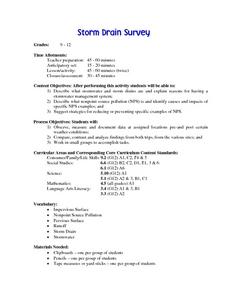
Storm Drain Survey
Students describe what stormwater and storm drains are. They explain reasons for having stormwater management system. They describe nonpoint source pollution and identify causes and impacts of it.
Curated OER
Introduction to Drawing Isopleths
Students draw isopleths based on how many pieces of "confetti snow" land in their cup.
Curated OER
Science: Trouble in the Troposphere
Learners research a NASA Website and record information about an assigned city's tropospheric ozone residual monthly climate. In groups, they graph the information for the past year. They form new groups and compare their city's...
Curated OER
Stratigraphy -- Layers of Time in the Earth
Students are introduced to the process of stratification. Using the internet, they read about the Richard Beene archeological site near San Antonio. Using a map, they color code the different layers present at this site and answer...
Curated OER
Science: Hurricanes As Heat Engines
Pupils conduct Internet research to track the path of Hurricane Rita. They record the sea surface temperature of the Gulf of Mexico during and after the hurricane and draw conclusions about how hurricanes extract heat energy from the...
Curated OER
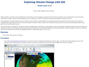
Exploring Climate Change with GIS
Students investigate climatological changes that are occurring to the Earth. In this climate change lesson, students access an assigned web site to view maps and lessons that show how climate change makes a difference to life on Earth.
Curated OER
Rain Drops Keep Falin' On My Drainage Basin
Students compile information about rainfall, lake elevations and releases of water from Tuttle Creek reservoir into maps, graphs and charts.
Center for Innovation in Engineering and Science Education, Stevens Institute of Technology
Ciese Real Time Data Projects:collecting Weather Data and Keeping a Weather Log
Over a period of two weeks students will use their class-made instruments to measure and record weather data. Students will also compare their data to online weather data. The final activity involves analyzing the collected data to look...
Center for Innovation in Engineering and Science Education, Stevens Institute of Technology
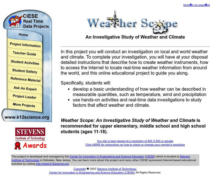
Ciese Real Time Data Projects: Weather Scope: A Study of Weather and Climate
Use real-time data to study factors that affect weather and climate, create weather instruments, and share data with learners around the world.


