Stephen Byrne
History for Kids: The River Nile
Learning resource for kids with map and photos on the Nile River tells about the importance of rivers to the development of civilization in ancient Egypt. Inlcudes links to teacher resources.
PBS
Wnet: Thirteen: This Just In! Nile Network News Update
Site offers interdisciplinary lesson plans on Ancient Egypt.Students will thoroughly research many aspects of life in Ancient Egypt. Lessons will culminate with students presenting their research findings using, a T.V News Show format....
University of Chicago
University of Chicago: Map of Ancient Mesopotamia
This site from the University of Chicago provides a black and white map of Ancient Mesopotamia. The map focuses primarily upon terrain with an emphasis on the rivers and the major cities.
Other
Mesopotamian Civilization: The Land Between the Rivers
This detailed article on the Sumerians provides information on Sumerian writing, myth, education, city-states, and artifacts. Part of a larger world history website, "The Land Between the Rivers," is an excellent introduction to the...
University of Chicago
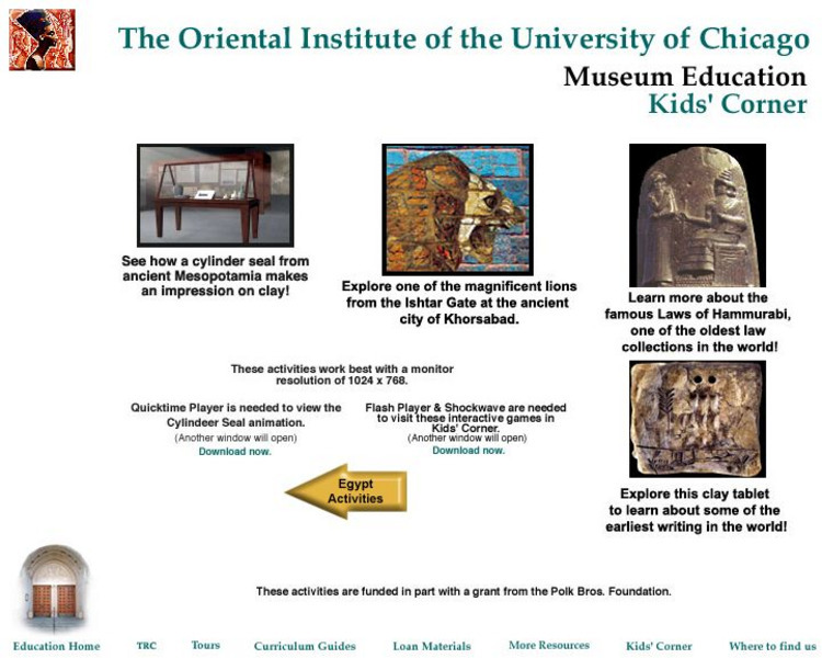
Museum Education: Kids' Corner
An interactive examination of artifacts from Mesopotamia. Find out about early writing, the code of Hammurabi, and cylinder seals.
Curated OER
Indus River Photograph
Photograph of the Indus River that provides a good perspective of mountains and ancient ruins in the surronding area.
Curated OER
Indus River Photograph
Photograph of the Indus River that provides a good perspective of mountains and ancient ruins in the surronding area.
The British Museum
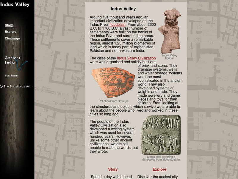
The British Museum: Indus Valley
This interactive site offers students an online glossary, as well as a game of matching pieces of pottery, spending the day with the maker's son, and exploring the ancient city of Mohenjo-daro.
Ducksters
Ducksters: Kids History: Ancient Egypt for Kids
This site contains links for students to learn about Ancient Egypt. It also contains some basic information about the Nile River, culture, pyramids, and fun facts.
University of Virginia
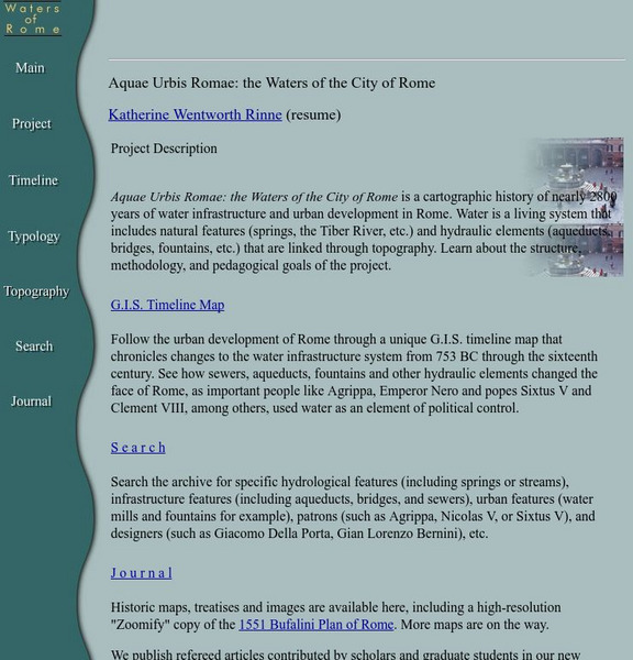
Aquae Urbis Romae: The Waters of the City of Rome
Aquae Urbis Romae: the Waters of the City of Rome is a cartographic history of nearly 2800 years of water infrastructure and urban development in Rome. Water is a living system that includes natural features (springs, the Tiber River,...
Curated OER
Etc: Maps Etc: Babylonia Before the Semitic (Chaldaean) Conquest, About 4000 Bc
A map of Babylonia, in current Iraq, before the Semitic (Chaldaean) Conquest, about 4000 B.C. This map shows the early territories of Makan and Melucha between the rivers Tigris and Euphrates, with the Makan capital Ur inhabited by the...


