Animal Fact Guide
Animal Fact Guide: Narwhal Whales
Read facts about the narwhal including information on its physical characteristics, habitat (with a distribution map), diet, breeding patterns, unique traits and behavior, conservation status, and tips on what you can do to help.
Read Works
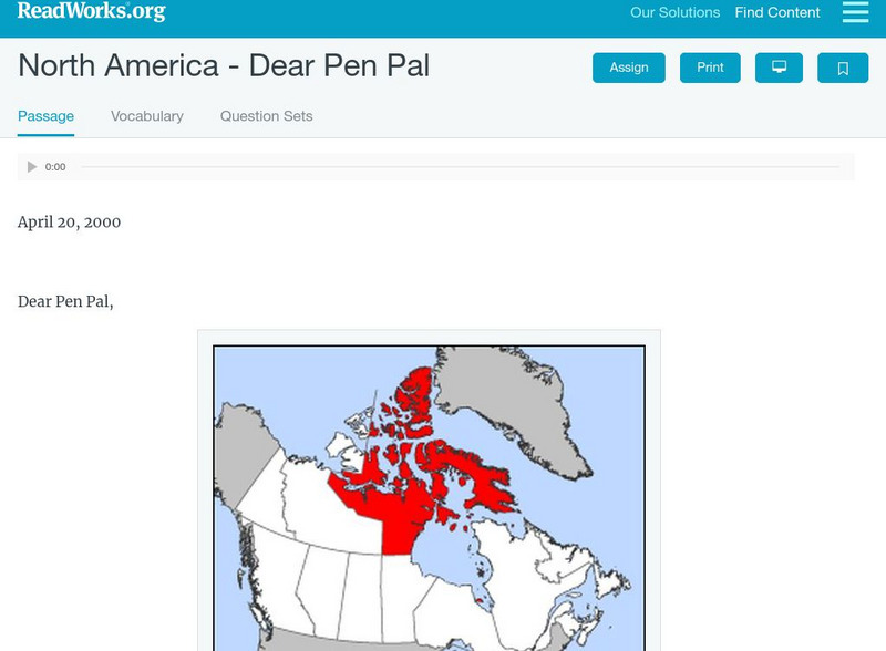
Read Works: North America Dear Pen Pal
[Free Registration/Login Required] A letter from Sara Makpah who lives in Canada to her pen pal living in New York City. A question sheet is available to help students build skills in reading comprehension.
Curated OER
Arctic Circle: Inupiat of Arctic Alaska: Growing Up in an Inupiat Village
Lengthy article describing in detail village life for an Inupiat child in North Alaska in the years following World War II. Follows the child from infancy to youth to marriage and family.
Curated OER
Arctic Circle: Aleut: People of the Aleutian Chain
Lots of information about the Aleut tribe of Native Americans including their history through to present times and problems that they are now facing.
Other
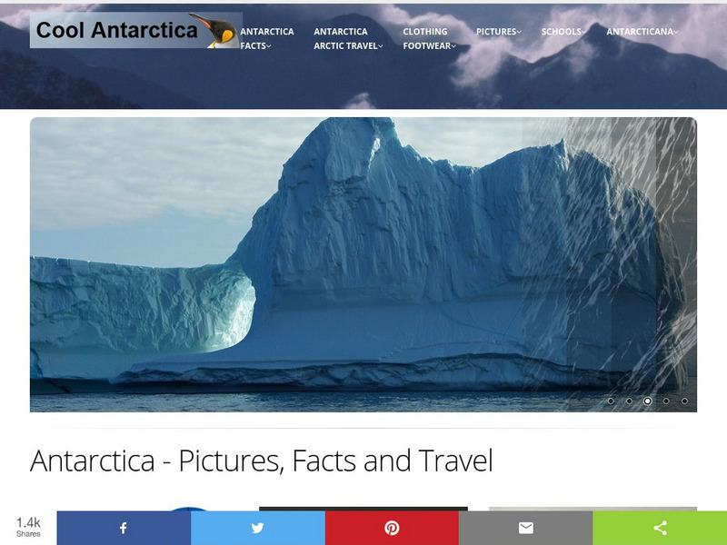
Cool Antarctica: Pictures, Information, and Travel Guide
A complete look at the continent of Antarctica. You can view pictures, utilize a fact file index, and get a historical timeline.
Wikimedia
Wikipedia: Latitude
This encyclopedia article from Wikipedia on latitude tells what it is, lists some latitudes of particular importance, and tendencies that latitudes can determine. Links are provided throughout for additional information.
Curated OER
Unesco: Russian Federation: Putorana Plateau
This site coincides with the area of the Putoransky State Nature Reserve, and is located in the central part of the Putorana Plateau in northern Central Siberia. It is situated about 100 km north of the Arctic Circle. The part of the...
Curated OER
Educational Technology Clearinghouse: Maps Etc: The Dominion of Canada, 1911
A map from 1911 of the Dominion of Canada showing the boundaries of the provinces and territories north to Grant Island above the Arctic Circle, major cities, existing and proposed railways, mountain systems, lakes, rivers, coastal...
Curated OER
Educational Technology Clearinghouse: Maps Etc: Physical Europe, 1916
A physical map of Europe from 1916 showing color-coded elevations and water depths for the area extending from Iceland to the Ural Mountains in Russia Proper, and the Arctic Circle to the Mediterranean Sea. Land elevation colors range...
Curated OER
Educational Technology Clearinghouse: Maps Etc: Physical Map of Europe, 1916
A physical map of Europe from 1916 showing color-coded elevations and water depths for the area extending from Iceland to the natural boundary between Europe and Asia (Ural Mountains to the Caspian Sea), and the Arctic Circle to the...
Curated OER
Unesco: Denmark: Ilulissat Icefjord
Located on the west coast of Greenland, 250 km north of the Arctic Circle, Greenland’s Ilulissat Icefjord (40,240 ha) is the sea mouth of Sermeq Kujalleq, one of the few glaciers through which the Greenland ice cap reaches the sea....
Curated OER
Science Kids: Science Images: Polar Bear With Cubs
This photo shows a polar bear with two cute cubs sitting in the snow. Polar bears are native to the Arctic Circle and are classified as a vulnerable species. Polar bears are the largest type of bear and also the largest carnivores that...
Other
U.s. Antarctic Program
This government site delves into the research of all aspects of the Antarctic region including its ecosystems, its impact on the climate, and aerospace.


