Curated OER
Football a Big Success in Small Alaska City
Students read about the creation of a football program at a small-town school in Alaska. For this current events lesson, the teacher introduces the article with a map and vocabulary activity, then students read the news report and...
Curated OER
The Whiningdingdilly
Students read the book The Whiningdingdilly and complete a Venn Diagram, write a friendly letter, find misplaced animals, and morph animals and humans. In this The Whiningdingdilly lesson plan, students practice reading, writing, map...
Curated OER
Sense of Place Through the Eyes of an Inuit Children's Author
Students read books by Michael Arvaaluck Kusugak to explore life in the Artic Circle. After reading the books, students compare and contrast life in the Artic Circle to life in the United States. They write and illustrate a story about...
Curated OER
Rubber Duckies and Ocean Currents
Students explore marine life by conducting a rubber duck experiment. In this water currents lesson plan, students practice identifying latitude and longitude coordinates on a map and define the currents of major oceans. Students discuss...
Curated OER
Reindeer Herders
Learners examine the life of of nomadic herders in Siberia. They read and discuss an article and maps from National Geographic, identify threats to this way of life, and write a letter to the Russian government identifying ways to...
Curated OER
Students Become Mapmakers
Students practice making a map of a continent and correctly plotting five cities on that map. They place latitude and longitude lines on a map, determine the need for various map projections and explain why map scales are necessary.
Curated OER
Create Learning Experiences with The Polar Express
Center content-integrated lessons around the timeless holiday book, The Polar Express.
Curated OER
The Prairie Climate
Ninth graders research the average temperature and precipitation of a prairie region to determine the type of climate it is, and how it differs from other biomes. They examine the types of adaptions animals have made to live in the...
Curated OER
Nunavut - Flag and Coat of Arms
Students examine the symbolism of flags and coats of arms. In this community activity, students discuss the meaning behind the Nunavut flag and coat of arms. Students then design flags and coats of arms that represent their communities.
Curated OER
Geology Word List
In this science worksheet, students review the vocabulary words for the separate categories related to the concept of geology.
Curated OER
Environmental Issues in the Polar Regions
Students list environmental problems they are familiar with and check the ones they think affect the polar regions, and they research and answer questions about environmental issues affecting the polar regions. Students discuss their...
Alabama Learning Exchange
Alex: Arctic Adventures
During this lesson, students will explore plant and animal life found at the Arctic Circle. They will also learn about the dangerously cold climate and the location of the Arctic Circle relative to the school's location on maps and globes.
Curated OER
Educational Technology Clearinghouse: Maps Etc: The Dominion of Canada, 1911
A map from 1911 of the Dominion of Canada showing the boundaries of the provinces and territories north to Grant Island above the Arctic Circle, major cities, existing and proposed railways, mountain systems, lakes, rivers, coastal...
Curated OER
Educational Technology Clearinghouse: Maps Etc: Physical Europe, 1916
A physical map of Europe from 1916 showing color-coded elevations and water depths for the area extending from Iceland to the Ural Mountains in Russia Proper, and the Arctic Circle to the Mediterranean Sea. Land elevation colors range...
Curated OER
Educational Technology Clearinghouse: Maps Etc: Physical Map of Europe, 1916
A physical map of Europe from 1916 showing color-coded elevations and water depths for the area extending from Iceland to the natural boundary between Europe and Asia (Ural Mountains to the Caspian Sea), and the Arctic Circle to the...
Animal Fact Guide
Animal Fact Guide: Narwhal Whales
Read facts about the narwhal including information on its physical characteristics, habitat (with a distribution map), diet, breeding patterns, unique traits and behavior, conservation status, and tips on what you can do to help.
Other
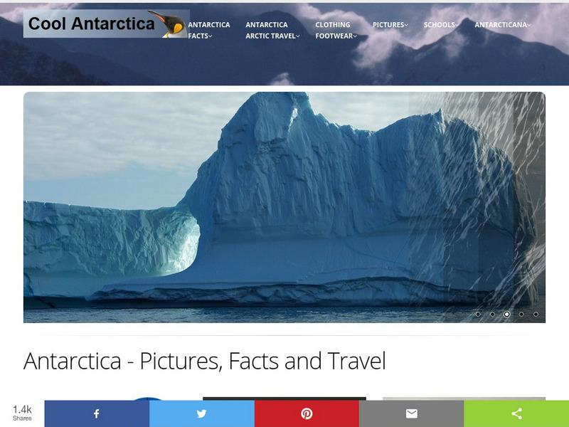
Cool Antarctica: Pictures, Information, and Travel Guide
A complete look at the continent of Antarctica. You can view pictures, utilize a fact file index, and get a historical timeline.
Other
U.s. Antarctic Program
This government site delves into the research of all aspects of the Antarctic region including its ecosystems, its impact on the climate, and aerospace.


