CK-12 Foundation
Ck 12: Elem Math: Area in Grid
[Free Registration/Login may be required to access all resource tools.] The video describes how to count the area in a grid where each square on the grid is one square unit of area. The video is followed by practice problems covering the...
Sophia Learning
Sophia: Converting Square Units in the Metric System
Square units in the metric system are investigated in this mathematics lesson. Students watch examples that explore how to convert square units.
Other
Calculator.net: Surface Area Calculator
Use these calculator tools to find the surface area, in your choice of units, of a sphere, cone, cube, cylinder, rectangular prism, capsule, ball cap, conical frustum, ellipsoid, or square pyramid. Includes a reference section listing...
Illustrative Mathematics
Illustrative Mathematics: 3.md the Square Counting Shortcut
This is a rectangle subdivision task; ideally instead of counting each square. students should break the letters into rectangles, multiply to find the areas, and add up the areas. Aligns with 3.MD.C: CCSS.Math.Content.3.MD.C.6 Measure...
Louisiana Department of Education
Louisiana Doe: Louisiana Believes: Eureka Math Parent Guide: Multiplication and Area
A guide to support parents as they work with their students in multiplication and area.
Science Made Simple
Science Made Simple: Area Measurement Conversions
This site allows you to type in an area of measurement you want to be converted. The site converts it for you!
Math Is Fun
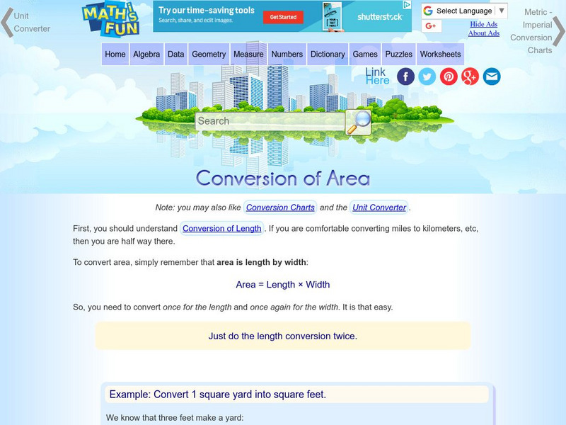
Math Is Fun: Conversion of Area
View examples to learn how to convert area in square feet to area in square meters. If you need help, follow a link to a conversion chart.
Illustrative Mathematics
Illustrative Mathematics: 3.md, 3.g, 3.nf Halves, Thirds, and Sixths
The purpose of this task is for students to use their understanding of area as the number of square units that covers a region, to recognize different ways of representing fractions with area, and to understand why fractions are...
CK-12 Foundation
Ck 12: Elem Math: Partitioning Composite Figures Into Rectangles to Find Area 1
[Free Registration/Login may be required to access all resource tools.] In this learning module, students are asked to partition a shape into rectangles and add their areas together to get the area of the whole figure. Includes video...
George Mason University
Area Formula Lab
In this set of worksheet activities, students will be guided to discover formulas for area of polygonal shapes and circles.
Texas Instruments
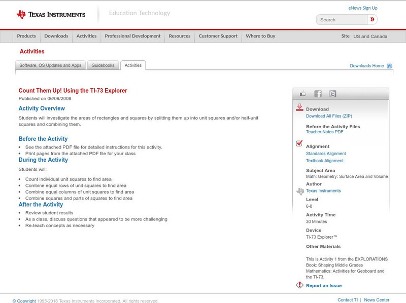
Texas Instruments: Count Them Up! Using the Ti 73 Explorer
In this activity, you will investigate the areas of rectangles and squares by splitting them up into unit squares and/or half-unit squares and combining them.
Utah Education Network
Uen: Design Your Own Bedroom
Many students dream of designing their ideal bedroom. In this exercise, students will be required to limit their designs by size (as a specific volume) and price (a specific amount). They must design the floor plan, including furniture...
PBS
Pbs Mathline: Bubble Mania [Pdf]
Bubble Mania is a lesson plan that focuses on the concept of measurement as it applies to the diameter, circumference, and area in a bubble. Extension activities and connections, related worksheets, and additional resources are included.
National Council of Teachers of Mathematics
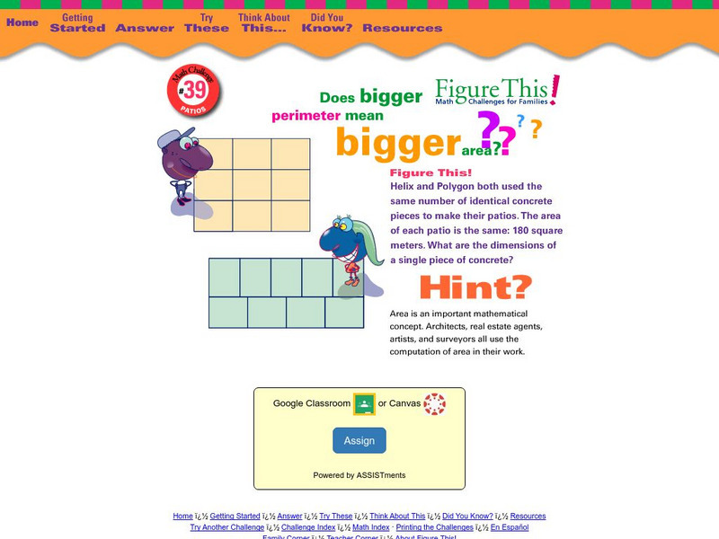
Nctm: Figure This: Patios
Does bigger perimeter mean bigger area? Answer this question when you try this math challenge from the NCTM Math Challenges for Families series. Discover how understanding area and perimeter can be useful in real world situations.
Curated OER
Etc: Maps Etc: Manufacturing Districts in the United States, 1910
A map from 1910 of the United States showing the primary manufacturing districts at the time. The map is keyed to show areas where the averaged value of products of manufacture per square mile ranges from less than $1,000 per square mile...
Curated OER
Etc: Maps Etc: Population in the United States, 1900
A map from 1910 of the United States showing the distribution of the population in 1900. The map is keyed to show areas of population with densities ranging from under 2 inhabitants per square mile to 90 and over inhabitants per square...
Other
Stat Soft: Statistics Glossary
Dozens of statistical terms are defined and illustrated in this glossary.
Curated OER
Etc: Maps Etc: The United States and Neighbors, 1898
A map from 1898 of North America, Central America, Greenland, and the Caribbean to Puerto Rico, subtitled "The United States and its Neighbors in North America." The map is color-coded to show the possessions of Greenland (to Denmark),...
Curated OER
Etc: Maps Etc: United States Population Density, 1850
A map from 1912 of the United States, subtitled "Distribution of Population and Railways in 1850." The map is color-coded to show population densities ranging from areas with fewer than 2 inhabitants per square mile to areas of 90 or...
Curated OER
Etc: Maps Etc: United States Population Density, 1900
A map from 1912 of the United States, subtitled "Distribution of Population and Railways in 1900" showing the increase in population and expansion of the railroad network since 1850. The map is color-coded to show population densities...
Curated OER
Etc: Maps Etc: Women Suffrage Before the Amendment, August 1, 1920
A map of the United States showing the progression of suffrage prior to the Nineteenth Amendment of the Constitution, ratified on August 18, 1920. "The map shows the status of women suffrage, or the right of women to vote on an equality...
TeachEngineering
Teach Engineering: A Chance at Monte Carlo
At its core, the LEGO MINDSTORMS product provides a programmable microprocessor. Students use the EV3 processor to simulate an experiment involving thousands of uniformly random points placed within a unit square. Using the underlying...
Curated OER
Educational Technology Clearinghouse: Maps Etc: Arizona, 1904
A map of Arizona from 1904. "Arizona was organized as a territory in 1863. Area, 112,290 square miles; population, 122,212. Of these 26,480 are Indians. About one-third of the white population are foreign born. Chiefly a mining Territory...
Curated OER
Educational Technology Clearinghouse: Maps Etc: Oregon, 1904
A map from 1904 of Oregon showing the capital of Salem, principal cities and towns, railroads, stage lines, mountains, rivers, and coastal features. "Oregon - Organized as a Territory in 1848; became a state in 1859. Area, 96,030 square...


