Other
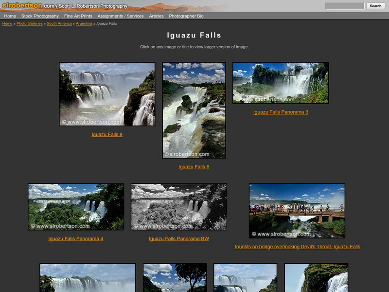
Scott L. Robertson Photography: Iguazu Falls
A photo gallery featuring beautiful pictures of Iguazu Falls. Click on the picture to enlarge it.
Other
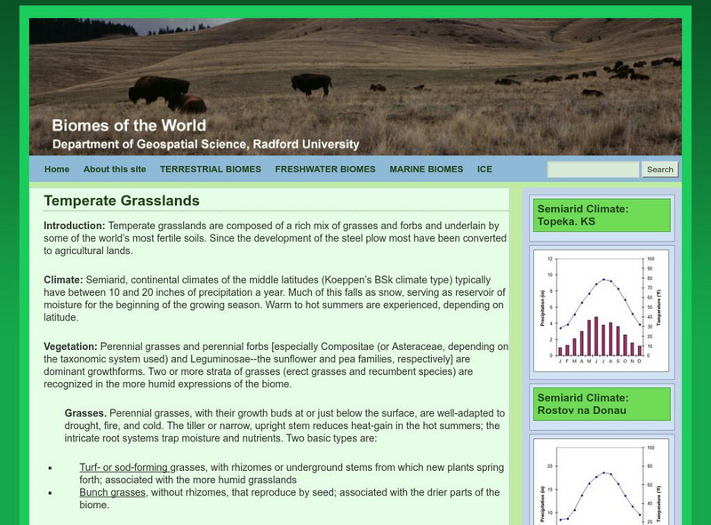
Radford University: Temperate Grasslands
This is part of a virtual geography project from Radford University. Learn about the climate, vegetation, grasses, soil and fauna of the temperate grasslands.
My Hero Project
My Hero: Jorge Luis Borges
"The master of an evocative, strangely poetic universe," Jorge Luis Borges is praised in this article for his contributions to the literary world.
NASA
Nasa Earth Observatory: Grassland
This site provides information on grassland biomes such as temperature, precipitation, and vegetation.
Curated OER
Educational Technology Clearinghouse: Maps Etc: Patagonia, 1911
A map from 1911 showing the region of Patagonia at the southern tip of South America from Buenos Aires in Argentina to Cape Horn on Tierra del Fuego, and includes the Falkland Islands (Islas Malvinas) as a British possession. The map...
Curated OER
Educational Technology Clearinghouse: Maps Etc: South America, 1903
A map from 1903 showing the national boundaries of South America at the time (note the boundaries between Peru and Bolivia, and that Columbia, Ecuador, and Panama are shown as one country). The map shows capitals and major cities, towns,...
Curated OER
Educational Technology Clearinghouse: Maps Etc: The Falkland Islands, 1903
A map from 1903 of the Falkland Islands, located in the South Atlantic off the coast of Argentina and under control of Great Britain. The map shows the capital city of Stanley and the settlements of Port Salvador and Port William, the...
Curated OER
Educational Technology Clearinghouse: Maps Etc: Southern South America, 1920
A map from 1920 showing the southern part of South America, including the national, state, and territory borders at the time for Argentina, Paraguay, Uruguay, southern Chile, and southern Brazil. The map shows capitals and other major...
Curated OER
Educational Technology Clearinghouse: Maps Etc: Northern South America, 1920
A map from 1920 showing the northern part of South America, including the national borders at the time for Columbia, Venezuela, the Guianas, Ecuador, Peru, Bolivia, and the northern portions of Brazil, Argentina, and Paraguay. The map...
Curated OER
Educational Technology Clearinghouse: Maps Etc: Southern South America, 1920
A map from 1920 of the southern part of South America from Sao Paulo on the Atlantic and Iquique on the Pacific south to Tierra del Fuego. The map shows the political boundaries at the time for Argentina, Paraguay, Uruguay, and the...
Curated OER
Educational Technology Clearinghouse: Maps Etc: Northern South America, 1920
A map from 1920 of the northern part of South America from the Caribbean Sea south the Rio de Janeiro. The map shows the political boundaries at the time for Panama, Columbia, Venezuela, British, Dutch, and French Guiana, Ecuador, Peru,...
Curated OER
Educational Technology Clearinghouse: Maps Etc: Southern South America, 1914
A map from 1914 of the southern part of South America from Victoria, Brazil on the Atlantic and Iquique, Chile on the Pacific south to Tierra del Fuego. The map shows the political boundaries at the time for Argentina, Paraguay, Uruguay,...
Curated OER
Etc: Maps Etc: Eastern Part of South America, 1922
A map from 1922 showing national borders in eastern South America at the time, including British, Dutch, and French Guiana, eastern Brazil, and Paraguay, with portions of Venezuela, Bolivia, Argentina, and Uruguay.
Curated OER
Etc: Maps Etc: South America (Southern Part), 1920
A map from 1920 of the southern part of South America from Sao Paulo on the Atlantic and Iquique on the Pacific south to Tierra del Fuego. The map shows the political boundaries at the time for Argentina, Paraguay, Uruguay, and the...
Curated OER
Etc: Maps Etc: Southern Part of South America, 1922
A map from 1922 of the southern part of South America from Santos on the Atlantic and Iquique on the Pacific south to Tierra del Fuego. The map shows the political boundaries at the time for Argentina, Paraguay, Uruguay, and the southern...
Curated OER
Etc: Maps Etc: Northern Part of South America, 1920
A map from 1920 of the northern part of South America from the Caribbean Sea south the Rio de Janeiro. The map shows the political boundaries at the time for Panama, Columbia, Venezuela, British, Dutch, and French Guiana, Ecuador, Peru,...
Curated OER
Iguazu Falls
Great introduction to Iguazu Falls in South America, on the borders of Brazil, Paraguay, and Argentina. This site is definitely geared for elementary school students, but older students may also enjoy the visit.
Curated OER
Iguazu
Great introduction to Iguazu Falls in South America, on the borders of Brazil, Paraguay, and Argentina. This site is definitely geared for elementary school students, but older students may also enjoy the visit.
Curated OER
Nestor Kirchner
Provides an overview and some basic facts about the South American country of Argentina. Also discussed is the current leader and its media market.
Curated OER
750x750 Chile m.gif (433327 Bytes)
Take an exciting exploration of South America, driving northward along the Andes, crossing back and forth between Chile, Argentina, Bolivia, and Peru. Explore the natural environment, culture, and people. It includes journals,...
Curated OER
Science Kids: Science Images: Argentinosaurus
This drawing shows the possible appearance of Argentinosaurus, a dinosaur from the mid Cretaceous Period (around 95 million years ago). The Argentinosaurus was a Sauropod that lived in South America, its remains were first discovered by...
Curated OER
Science Kids: Science Images: Aucasaurus
This drawing shows the possible appearance of Aucasaurus, a Theropod dinosaur that was related to the Carnotaurus. Three specimens can be seen in the picture, in a variety of poses. The Aucasaurus featured very small arms and lived in an...
Study Languages
Study Spanish: La Llama
This site has an explanation in Spanish and English with a few comprehension questions about the llama in the Andes area of South America. Additional links are provided for more information on this unique animal. Great reading selection...
Other
The Vanished Gallery
Excellent information on the terrifying years from 1976 to 1983 in which thousands of Argentines were arrested and disappeared, as a military junta launched a campaign to squelch "left-wing terrorism". In both Spanish and English, this...
Other popular searches
- Argentina Art
- Economic Crisis of Argentina
- Argentina Lesson Plans
- Lesson Plans for Argentina
- Dyslexia Argentina
- Countries Argentina
- History of Argentina
- Argentina Gauchos
- Bicentennial in Argentina
- Argentina Culture
- Argentina History
- Argentina Music Lesson Plans


