Curated OER
Traveling Along the Indiana Underground Railroad
Young scholars develop a deeper understanding of the role that Indiana played in the Underground Railroad while exploring Indiana Geography.
Curated OER
Gridding a Site
Students make observations of effigy mounds and record them in a notebook. In groups, they must determine the scale of measurement and create their own grid to scale part of the Effigy Mounds National Monument. They also practice using...
Curated OER
Weather Conditions
Pupils list and name various kinds of weather conditions occurring in their city. Using the newspaper as a resource, students answer questions relating to written weather reports. This lesson plan is intended for pupils acquiring English.
Curated OER
Circle the Earth - Explore Surface Types on a Journey around Earth
Students use CERES percent coverage surface data with a world map in locating landmasses and bodies of water at Earth's Equator.
Curated OER
Michigan Fun Facts
Fourth graders work with a partner to plan, rese,a rch design and publish a
slide show that depicts the most important or interesting facts they
have learned about Michigan. They are given the choice of working in
one of the seven...
Curated OER
Presenting Your Community
Learners research the history of a notable building and prepare a Power Point presentation to be used on the online scrapbook. They research the location of the building in the community, the architectural style and the date of...
Curated OER
Over, Under, In, and Out
Students investigate the concept of coin design. They look at the inscriptions found on coins by handling them in class. The design is found in the state of West Virginia. The objects pictured on the coin are described by students and...
Curated OER
Give Me Some Air!
Third graders examine how trees produce oxygen. They examine satellite images of the reservation they examining and interpret the number of trees on the land. They determine how natural resources should be used wisely.
Curated OER
Heritage
Students examine Florida literary heritage. They use multimedia learning activities to focus on Florida heritage and the literature of Florida. Students investigate books and special web sites on Florida cities and Florida authors....
Curated OER
Biome Web Quest
Third graders create paper mache globes, paint them and label the oceans and the continents. In groups, they research a biome, write about it and create an artistic visual representation of the biome and present it to the class.
Curated OER
Animals and Their Needs
Students identify the characteristics of living things and examine objects to see if they are living. They identify the needs of living things, in particular of animals and animal babies. They discuss how to care for pets.
Curated OER
MAGNETISM
Students infer that there are forces we cannot see that act upon objects, experiment with magnets to show a push and/or pull force, and participate in a magnet game.
Curated OER
Modified Orienteering
Students participate in activities using compass settings. They find north and notate the bearings of objects that have been set up in the school yard. They find marks that both visible and hidden behind and under things like trees, and...
Curated OER
Weather... Or Not
Young scholars observe and discuss the local weather patterns, researching cloud types and weather patterns for cities on the same latitude on the Internet. They record the data for 6-8 weeks on a graph, and make weather predictions for...
Curated OER
Hajigul's Story: A Creative Drama
Learners listen to stories about and research the life of an Uighur child from China. They investigate their own cultural heritage and design a mural.
Curated OER
Globe Raider: Part I
Students research a Spanish speaking countries using the Internet and other appropriate resources. They work in groups to complete a computer based treasure hunt before completing a Globe Raiders worksheet. They use the research...
Curated OER
The Tilting Earth
Fourth graders use a styrofoam ball on a stick to represent earth and a light bulb in the center of the room to represent the sun. They walk around the light, holding their sticks at an angle to show the tilt of the earth's axis. They...
Curated OER
Mercer Mayer 2: Peer Experts Teach Kispiration
Students observe a model classroom of cooperative groups in action. After the video, students discuss how to organize the classroom to promote cooperative learning. They examine the difficulties in allowing students to work in small groups.
Curated OER
The Effect of Tides & Elevation on Wetland Plant Communities
Students comprehend how tides can impact shoreline plant communities through the study of a freshwater tidal marsh. They use actual tidal data to show that tidal ranges differ among geographic locations, even those relatively close...
Curated OER
Historical Heroes and Today's Heroes
Students identity characteristics of a hero. For this heroes lesson, students discuss what it means to be a hero and work in small groups to find characteristics of a hero and people they consider heroes. Students choose...
Utah Education Network
Uen: Lesson Plan: Maps and Me
Lesson to reinforce basic map skills. Learners discuss Me on the Map by Joan Sweeney, work in groups to create maps of the classroom, and use these maps to hunt for treasure.
Other
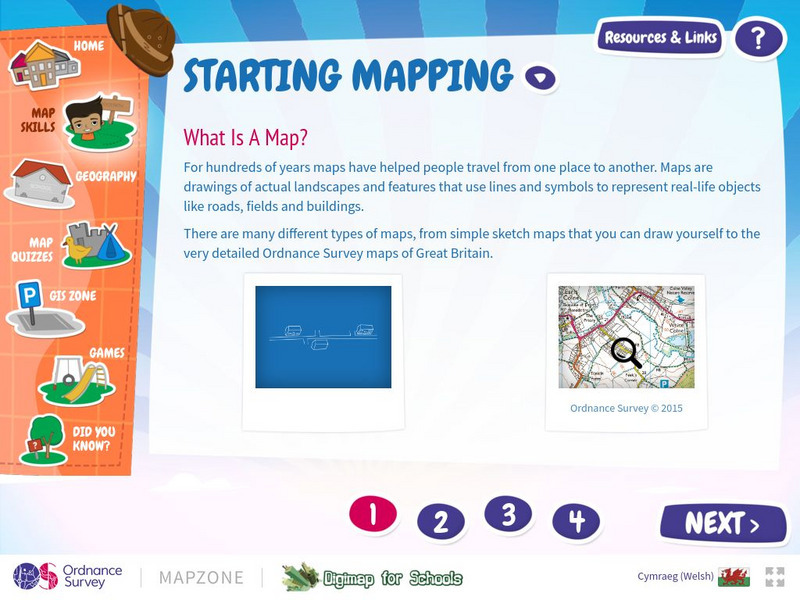
Map Zone: Starting Mapping
Discover the basics of mapping by reading about what maps are, what they provide, how to fold them, and how to use them properly. Content focuses on Great Britain.
Randall Davis
Esl Cyber Listening Lab: Basic English Quiz: Directions Around Town 2
This exercise combines map-reading and listening skills designed especially for English language learners. Students locate designated buildings on a map by following directions for turning right, walking two blocks forward, and so on.
Randall Davis
Esl Cyber Listening Lab: Basic English Quiz: Directions Around Town 3
This true-or-false exercise for English language learners tests their map-reading and listening skills. Using a small street map for visual reference, students answer a series of true/false questions about locations on the map.


