Science Education Resource Center at Carleton College
Serc: Fathoms, Ship Logs, and the Atlantic Ocean
Students use data from ship logs to graph a profile of the Atlantic Ocean. They will rely on prior knowledge of seafloor topography, instructions on how to read a bathymetric map, and observe a demonstration where the depth of the ocean...
CK-12 Foundation
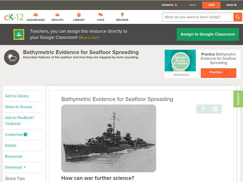
Ck 12: Earth Science: Bathymetric Evidence for Seafloor Spreading
[Free Registration/Login may be required to access all resource tools.] Describes features of the seafloor and how they are mapped by echo sounding. It touches upon the continental margin as well.
CK-12 Foundation
Ck 12: Earth Science: Bathymetric Evidence for Seafloor Spreading
[Free Registration/Login may be required to access all resource tools.] Seafloor features and how scientists map them.
CK-12 Foundation
Ck 12: Earth Science: Maps
[Free Registration/Login may be required to access all resource tools.] How to use topographic, bathymetric, and geologic maps.
CK-12 Foundation
Ck 12: Earth Science: Maps
[Free Registration/Login may be required to access all resource tools.] How to use topographic, bathymetric, and geologic maps.


