A&E Television
History.com: Tailgating: How the Pre Game Tradition Can Be Traced to Ancient Times
The ritual grew as ownership of automobiles and then mass production of portable grills and plastic coolers soared. Tailgating before college and professional football games is an American tradition. Temporary tent cities pop up in...
Curated OER
Memorial Day, 1898
A political cartoon depicting a Union and a Confederate veteran united in support for the Spanish-American War. A painting entitled Twelve-Inch Gun depicting elegant officers and ladies aboard a battle ship, civilizing gentility and the...
Curated OER
Educational Technology Clearinghouse: Clip Art Etc: Battle of Gettysburg
Drawing of the fighting at Gettysburg.
Curated OER
Educational Technology Clearinghouse: Maps Etc: Winchester, September 19, 1864
A map of Winchester, Virginia and the surrounding region, site for the Battle of Opequon, also known as the Third Battle of Winchester. Map shows September 19, 1864.
Curated OER
Etc: Maps Etc: General Early's Maryland Campaign, 1864
A map of the area of the northern Valley Campaign (1864) under Confederate General Jubal Anderson Early from Harper's Ferry to Washington. The map shows the general locations of the Battle of Monocacy Junction (July 9), Battle of Fort...
Curated OER
Educational Technology Clearinghouse: Maps Etc: Sherman's March to the Sea, 1864
A map of Georgia, South Carolina, and North Carolina showing the routes of Union General Sherman's 'March to the Sea’ from Atlanta to Savannah (November 15 to December 21, 1864), and his march to Raleigh. The map shows the area to the...
Curated OER
Educational Technology Clearinghouse: Maps Etc: North Anna, May 1864
The region near the North Anna river, site of the Battle of North Anna. Map shows May 23-26, 1864.
Curated OER
Educational Technology Clearinghouse: Maps Etc: Cedar Creek, October 19, 1864
A map of Middletown and Strasburg, Virginia and the surrounding region. Site of the Battle of Cedar Creek. Map shows October 19, 1864.
Curated OER
Etc: Maps Etc: Fisher's Hill, September 22, 1864
A map of the region surrounding Strasburg, Virginia. Site of the battle of Fisher's Hill from September 22, 1864.
Curated OER
Educational Technology Clearinghouse: Maps Etc: Pope's Campaign, August 28, 1862
A map of northern Virginia showing the area of the campaign of General Pope on August 28, 1862 in the morning of the Second Battle of Bull Run. The map shows cities and towns, roads and railroads, terrain, woodlands, rivers, and the...
Curated OER
Educational Technology Clearinghouse: Maps Etc: Pope's Campaign, August 29, 1862
A map of northern Virginia showing the area of the campaign of General Pope at noon on August 29, 1862 during the Second Battle of Bull Run. The map shows cities and towns, roads and railroads, terrain, woodlands, rivers, and the Union...
Curated OER
Educational Technology Clearinghouse: Maps Etc: Campaign Against Vicksburg, 1863
The region surrounding Vicksburg, Mississippi in 1863, showing battle sites and fortifications during the Union campaign.
Curated OER
Etc: Operations Around Petersburg, 1864 1865
A map of the region surrounding Petersburg, Virginia, site of the Battle of Petersburg and the Siege on Petersburg. Map shows June 1864-April 1865.
Siteseen
Siteseen: Civil Conflict: Union Blockade
Explains what the Union Blockade was, also known as the Anaconda Plan. Describes its purpose, how it began, its location, how the North built up its navy, how the Confederacy fought back against the Union Blockade, the positions taken by...
Library of Congress
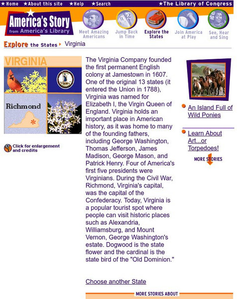
Loc: America's Story: Virginia
This site is provided for by the Library of Congress. Do you know when "the Virginia Company founded the first permanent English colony at Jamestown?" Do you know what the capital of the Confederacy was? Explore the history of Virginia...
Other
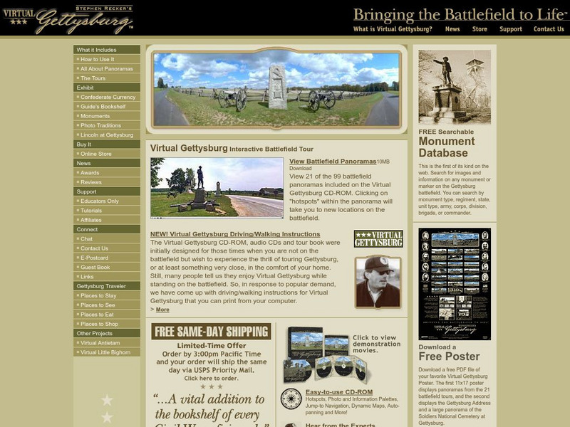
Virtual Gettysburg: Interactive Battlefield Tour
Although this site is advertising a complete CD-ROM package of Virtual Gettysburg, the accompanying free information is beneficial. There are free panoramas, pictures of monuments, and online exhibits of Confederate currency and "Lincoln...
Curated OER
Wikipedia: National Historic Landmarks in Kentucky: Perryville Battlefield
Site of largest battle in Kentucky during the American Civil War.
Curated OER
Educational Technology Clearinghouse: Clip Art Etc: General Gouverneur K. Warren
General Warren, born in Cold Spring, N. Y., January 8th, 1830, died in Newport, R. I., August 8th, 1882, was graduated from the United States Military Academy in 1850, and assigned to the Topographical Engineers as brevet second...
Curated OER
Educational Technology Clearinghouse: Clip Art Etc: General Thomas L. Crittenden
General Crittenden, born in Russellville, Ky., May 15th, 1815, studied law under his father, was admitted to the bar, and became Commonwealth's Attorney in Kentucky in 1842. He served in the Mexican War as lieutenant colonel of Kentucky...
Curated OER
Educational Technology Clearinghouse: Maps Etc: Operations About Atlanta, 1864
A map of Atlanta and vicinity during the Atlanta Campaign of the American Civil War (1864). The map shows the fortifications around Atlanta, the positions of the Union and Confederate armies, and the sites of the Battle of Peach Tree...
Curated OER
Educational Technology Clearinghouse: Maps Etc: England and Wales, May 1, 1643
A map of England and Wales as they were on May 1, 1643, during the First English Civil War (1642-1646). The map is color-coded to show the districts held by the King and districts controlled by Parliament in the ongoing English Civil...
Curated OER
Etc: Maps Etc: England and Wales, November 23, 1644
A map of England and Wales as they were on November 23, 1644, during the First English Civil War (1642-1646). The map is color-coded to show the districts held by the King and districts controlled by Parliament in the ongoing English...
Curated OER
Etc: Maps Etc: England and Wales, December 9, 1643
A map of England and Wales as they were on December 9th, 1643, during the First English Civil War (1642-1646). The map is color-coded to show the districts held by the King and districts controlled by Parliament in the ongoing English...
Curated OER
Wikipedia: Natl Historic Landmarks in Virginia: Richmond Natl Battlefield Park
30 sites of American Civil War battles, including Gaines 'Mill, Glendale, and Malvern Hill, all sites of battles during the 1862 Seven Days Battles, as well as the 1864 battles of Cold Harbor and New Market Heights.
Other popular searches
- Civil War Battles
- American Civil War Battles
- Timeline Civil War Battles
- Civil War Battles Map
- Civil War Battles Antietam
- Major Battles of the Civil War
- Civil War Battles Gettysburg
- History Civil War Battles
- Important Civil War Battles
- The Civil War Battles
- Civil War Battles Pic
- Us Civil War Battles


