DLTK
South Dakota State Map
Provides a blank map of South Dakota. Teachers will find many uses for this in the classroom. Students will enjoy coloring it and locating different parts of the state.
Library of Virginia
Virginia Memory: Blank Space: Mapping the Unknown
How did early maps show the mapmakers' perception of the known world? Early mapmakers used maps drawn from coastal explorations, land travels, and even information heard word of mouth from American Indians or from colonists or traders....
Texas State Historical Association
Texas State Historical Association: Texas Rivers Map [Pdf]
A blank outline map showing the major rivers of Texas. A full color, labeled map of these rivers is available in the Texas Almanac, which is free to download from the main website.
Texas State Historical Association
Texas State Historical Association: Texas Counties Map [Pdf]
A blank outline map showing the many counties of Texas. A full color, labeled map of the counties is available in the Texas Almanac, which is free to download from the main website.
Other
Freeology: Free Graphic Organizers
Blank templates of all types of graphic organizers from Venn Diagrams to Vocabulary Sketches are available for free at this resource.
50 States
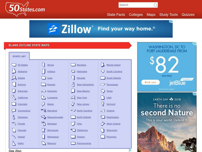
50 States: Blank Outline State Maps
All fifty states are linked here to outline maps of each. Also includes outline map of the United States.
Johns Hopkins University
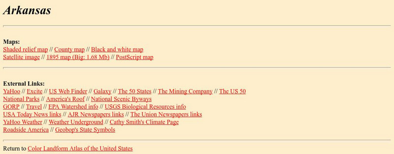
Johns Hopkins University: Arkansas State Maps
Learn more about the Arkansas' geography through the maps at this website from the Johns Hopkins University Applied Physics Laboratory. These maps give in depth information on the landforms found in Arkansas.
Johns Hopkins University
Johns Hopkins University: Arkansas State Maps
Learn more about the Arkansas' geography through the maps at this website from the Johns Hopkins University Applied Physics Laboratory. These maps give in depth information on the landforms found in Arkansas.
ClassFlow
Class Flow: Concept of Definition Word Map
[Free Registration/Login Required] This flipchart demonstrates how to use a CD Word Map Chart to increase comprehension for students. There is a blank page to discuss the format, two CD Word Map Chart examples regarding geometric shapes,...
Digital Dialects
Digital Dialects: Geography Games: Oceans and Seas
Study a labeled world map showing the oceans and seas, and then try to match their names to their locations on a blank map.
Digital Dialects
Digital Dialects: Geography Games: States of the Usa
Study a map showing the states in the USA, and then try to match their names to their locations on a blank map.
Curated OER
Etc: Maps Etc: Canyon of the Snake River at the Seven Devils, 1911
A map from 1911 showing the canyon of the Snake River at the Seven Devils along the border with Oregon. The sketch contours are shown at intervals of approximately 500 feet. The cross-lined areas represent basalt-covered surface; the...
Digital Dialects
Digital Dialects: Geography Games: Countries of Europe
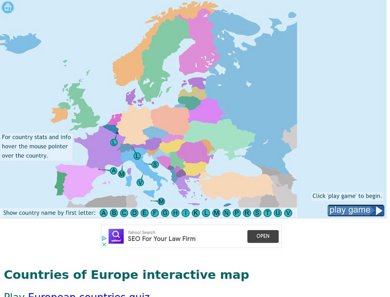
Study a map showing the countries in Europe, and then try to match their names to their locations on a blank map.
Digital Dialects
Digital Dialects: Geography Games: Countries of Asia
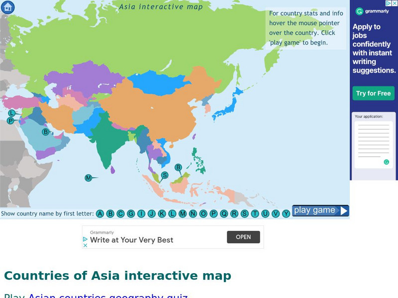
Study a map showing the countries in Asia, and then try to match their names to their locations on a blank map.
Digital Dialects
Digital Dialects: Geography Games: Countries of Africa
Study a map showing the countries in Africa, and then try to match their names to their locations on a blank map.
Digital Dialects
Digital Dialects: Geography Games
A collection of geography games where you study a labeled map, and then try to match place names to their locations on a map that is now blank.
PBS
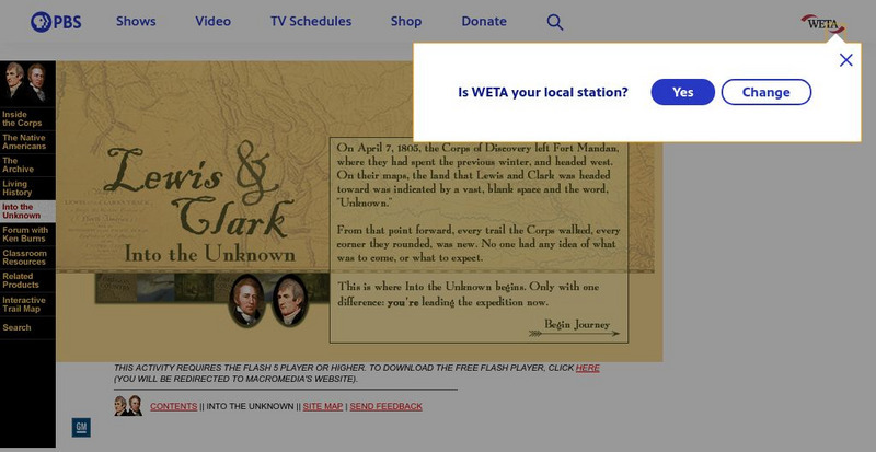
Pbs: Lewis and Clark: Into the Unknown
On April 7, 1805, the Corps of Discovery left Fort Mandan and headed west. On their maps, the land that Lewis and Clark was headed for was indicated by a vast, blank space and the word, "Unknown". This is where this journey INTO THE...
Enchanted Learning
Enchanted Learning: Lewis and Clark, American Explorers
A good, brief biography of Lewis and Clark, and a good description of their explorations. Contains a printable map and a cloze (fill in the blank) activity.


