Curated OER
Cell Concept Map
In this cell worksheet, students complete a concept map by filling in the blanks on the map with the appropriate terms related to the cell. Students are given a word bank and seven terms already filled in the concept map to get them...
Curated OER
Simple Plants Concept Map
In this plant science activity, students complete a concept map on the classification of plants. They fill in 9 blanks with the correct words from the list.
Curated OER
We Live in an International Community
Learners locate the different countries from which their clothing originates. Using a blank map, they identify and color in those areas.
Curated OER
Mapping the Garden
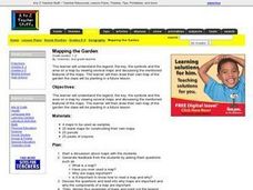
Students discuss maps, the features on a map, and why maps are important. They make a map of a garden they will be planting, complete with symbols that represent the various plants they choose to plant.
Curated OER
Reading a Map
Third graders become familiar with the vocabulary and skills related to mapping. In this guided reading lesson, 3rd graders find proper nouns on from the map. Students read Goldilocks. Students make a map of their room.
Curated OER
Introduction to WorldWatcher: Coloring Temperature Maps
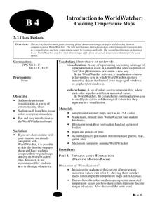
Students are introduced to the software program WorldWatcher. In groups, they discover the temperature variations throughout the world and color a map according to the temperatures. They also practice using visualization to communicate...
Curated OER
Mapping Animal Behavior
Young scholars discuss the value of sampling in science. They, in groups, map cricket movement in response to various stimuli and graph their results.
Texas State Energy Conservation Office
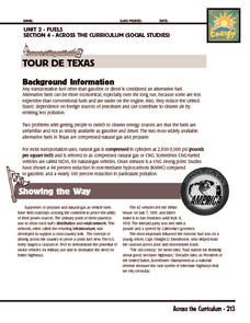
Investigation: Tour de Texas
Teams of Texas tourists gather into groups to analyze what they can do with $50 worth of an alternative fuel. They write checks, keep a balance sheet, and map out their sight-seeing route taking into consideration the location of...
Curated OER
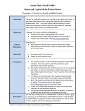
States and Capitals of the United States
Students label states and capitals on a United States map and complete research on one of the states. In this states lesson plan, students fill in the states on blank maps.
Curated OER
Naming the States of the U.S
Fifth graders study the 50 states on a map. In this social studies activity, 5th graders identify the names of the states and location. Additionally, students work in small groups to name and locate as many states as they can on a blank...
Curated OER
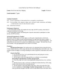
Word Sorts And Story Mapping
Fourth graders engage in a lesson that covers the concept of using a storymap to increase reading comprehension. They possess the prior knowledge of parts of speech from previous lessons. Students fill in the blank storymap while working...
Curated OER
Pirate Treasure Hunt
First graders name the directions North, South, East, and West on a map. They work collaboratively in small groups and create a treasure map using directions as clues.
Curated OER
Race and Ethnicity in the United States
Students explore race and ethnicity as it is defined by the U. S. Census Bureau. They compare data from 1900, 1950, and 2000 and identify settlement patterns and changes in population. In groups, they map these changes and discuss...
Project Food, Land & People
Loco for Cocoa
Students create a time line and map about how chocolate traveled the world. In this chocolate lesson plan, students also create and taste chocolate.
Curated OER
Roman Empire: Physical Framework - Location, Borders, Dimensions
Students relate the classical world to the modern world. For this map skills lesson, students turn a blank map into a colorful complete map by following step-by-step directions. This lesson allows students to connect our current...
Curated OER
Romania
In this blank outline map worksheet, students explore the political boundaries Romania located in Europe. This map may be used in a variety of classroom activities.
Curated OER
Freeform Rhode Island Map
In this free form Rhode Island map activity, students study, locate and memorize key cities, physical attributes and surrounding states for a quiz. Students fill out the major cities on a blank map of Rhode Island.
Curated OER
Field Trip to Mammoth Cave
Students, when given a microscope or a camera, write two observations they have seen using technology that they did not see with just their eyes with 100% accuracy. When given a blank map, they mark the location of Mammoth Cave along...
Curated OER
Location, Location, Location!
Twelfth graders locate cities, states and countries on maps. They use the cardinal directions to locate places on maps. They describe where they were born by giving clues without naming the exact state. They trade papers and try to guess...
Curated OER
First World War Maps
Tenth graders examine the First World War. In this Global History lesson plan, 10th graders analyze various maps of this time. Students construct maps of each front of the war by answering various questions.
Curated OER
Indianapolis Government
Young scholars read about a girl who takes a trip during the time of the State Capital moving to Indianapolis and then write their own essay about a trip that they took. In this Indianapolis Government lesson plan, students use maps and...
Curated OER
Reproductive Processes Concept Map
In this biology activity, students complete a concept map on reproductive processes using the list of words provided. They write the correct answers to 7 blanks in the concept map.
Curated OER
World Landforms
In this blank outline map worksheet, students note the major landforms of the 7 continents of the world on a Robinson projection map.
Curated OER
Chromosomes Concept Map
In this biology worksheet, students complete a concept map on different types of mutations. They fill in 7 blanks with the correct word from the list.


