Curated OER
The Country of South Africa-Map Activity
In this South Africa map worksheet, students label given features and places on a blank map. A reference web site is given for additional activities.
Curated OER
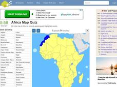
Africa Map Quiz
In this online interactive geography quiz activity, students respond to 53 identification questions about the countries of Africa. Students have 6 minutes to complete the quiz.
Curated OER
Subsidized H.I.V. Treatments: Diamonds in the Rough?
Students examine and compare the AIDS management policies of several countries, using the Botswana case as a starting point
Curated OER
Drifting Continents
In this plate tectonics instructional activity, students study the continents map and complete 8 short answer questions related to them. They predict what the Earth will look like millions from now.
Curated OER
On the Road Again
Students examine migration patterns in Africa and China. They watch excerpts from a documentary, define key vocabulary words, complete various student organizers, and create a poster.
Curated OER
The Impact of AIDS in Africa and its Effect on the United States
Eleventh graders explain the social devastation visited on seven nations of sub-Saharan Africa by the AIDS pandemic, with particular emphasis on the damage to educational systems, women, and Students.
Curated OER
University of Texas: Botswana: Map
A small map of Botswana that shows the Okavango River and delta as well as the salt pans. From the Perry-Castaneda Collection.
BBC
Bbc: Botswana Profile
This profile provides a concise overview of Botswana's history, culture, and economy in addition to information concerning the country's leaders and media. Links to related articles are also featured.
Encyclopedia of Earth
Encyclopedia of Earth: Botswana
Facts about Botswana including environmental issues, geography, government, people, water, economy, agriculture, health, natural resources, energy resources, and conflict.
University of Texas at Austin
Perry Castaneda Library Map Collection: African Maps
At this site find any type of map on Africa. Just click on what you want and you will get an accurate, colorful map.
Nations Online Project
Nations Online: Botswana
Offers a country profile and travel guide to the African nation of Botswana, background overview, and numerous links to comprehensive information on the nation's culture, history, geography, economy, environment, population, news,...
Central Intelligence Agency
Cia: World Factbook: Botswana
This resource provides a description of Botswana's location, people, and economy, including summary statistics. Includes a map and the national flag.
Curated OER
Flag of Botswana
Explore the geography, history, government and facts of Botswana. Maps and current flag are included.
United Nations
United Nations: Cartographic Section: Okavango River Basin [Pdf]
This map from the United Nations is a very detailed map of the Okavango River Basin, showing rivers, wetlands, cities, country boundaries and much more. Increase the viewing percentage to read the map easily.
Curated OER
Map of Botswana
Explore the geography, history, government and facts of Botswana. Maps and current flag are included.
Curated OER
Botswana Political Map
Check out this great satellite image of Botswana from Google Earth. Scroll past the informative political map to see the image. There is more information about the country below the satellite map.
Curated OER
Botswana Satellite Photo
Check out this great satellite image of Botswana from Google Earth. Scroll past the informative political map to see the image. There is more information about the country below the satellite map.
University of Iowa
University of Iowa: Art and Life in Africa
A comprehensive resource about African art and cultures.
University of Iowa
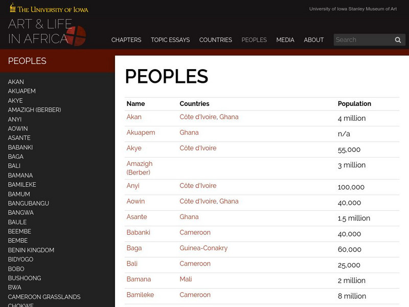
University of Iowa: Arts and Life in Africa: People Resources
Essential information on African countries and African peoples assembled by the University of Iowa.


