PBS
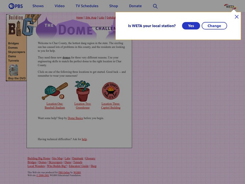
Pbs: The Dome Challenge
This site from PBS is a great web site for anyone interested in using some engineering skills. Travel to sizzling hot Char County and help the residents decide on three new domes.
Curated OER
Educational Technology Clearinghouse: Clip Art Etc: A Roman Aqueduct
The Pont du Gard near Nimes (ancient Nemausus) in southern France. Built by the emperor Antoninus Pius. The bridge spans two hilltops nearly a thousand feet apart. It carries an aqueduct with three tiers of massive stone arches at a...
Curated OER
Educational Technology Clearinghouse: Clip Art Etc: Arch of Constantine
The Arch of Constantine was erected to celebrate Constantine's victory of Maxentius at the Battle of Milvian Bridge. It is situated between the Colosseum and the Palatine Hill.
Department of Defense
Do Dea: Art Appreciation: Unit 6: Architecture and Design
In this sixth unit of a course on Art Appreciation, students learn about the history of architecture, including ancient Greek and Roman works. They will learn about Frank Lloyd Wright and about Islamic architecture. They will also look...
PBS
Pbs: Sesame Street: Science
A collection of interactives, videos, and documents on a variety science concepts.
ABCya
Ab Cya: Temple Crossing
Temple Crossing is a fun strategy game for the entire family. Help the explorer as he travels deep into the temple by building bridges, collecting coins, and using power ups along the way! How many bridges can you build before our...
PBS
Pbs Kids:activities and Videos: Structures
PBS site provides videos and activities are hands-on challenges that focus on the engineering design process. They use simple materials, allow for multiple solutions, and are ideal for ages 9-12.
Other
Brooklyn Expedition: Structures
If you've ever wondered how animals use their homes or what we are made of, this is the place to look. This site from the Brooklyn Children's Museum explores the shared characteristics among animal skeletons and homes, architecture, art...
PBS
Pbs Teachers: Real Scientists: Earthquake Scientist
Learn how engineers use science to prevent buildings and bridges from collapsing during an earthquake.
University of South Florida
Florida Center for Instructional Technology: What Is Networking Hardware?
Clickable network map shows information on the types and uses of networking hardware. Very basic introduction.
Curated OER
Wikipedia: Natl Historic Landmarks in Pa: Pennsylvania State Capitol Complex
Includes the Pennsylvania State Capitol, North and South Office Buildings, Finance Building, Forum Building, State Street Bridge and Ryan Legislative Office Building. Originally listed with only the capitol, expanded in 2013 to encompass...
Curated OER
Educational Technology Clearinghouse: Maps Etc: Plan of Irkutsk, 1903
A city plan of Irkutsk, Russia, from 1903, showing the Angara River, the major thoroughfares, bridges, town buildings, and historic sites. The plan is number-keyed to show the locations of important buildings of the city, including...
Curated OER
Educational Technology Clearinghouse: Maps Etc: Montreal, 1919
A road map of Montreal from the Official Automobile Blue Book of 1919. The map shows the St. Lawrence River, the Royal Victoria Bridge, major roads, railroads and stations, schools, cemeteries, parks, and government buildings.
Curated OER
Educational Technology Clearinghouse: Maps Etc: City of Quebec, 1919
A road map of the City of Quebec from the Official Automobile Blue Book of 1919. The map shows the St. Lawrence River and ferry crossing toward Augusta, the St. Charles River and bridge to Limoilou, major streets, railways and stations,...
Curated OER
Educational Technology Clearinghouse: Maps Etc: Fredericton, New Brunswick, 1919
A map of Fredericton, New Brunswick, from Official Automobile Blue Book of 1919. The map shows the St. John River, the Nashwaak River, the major roads, bridges, railroads and stations, schools, cemeteries, and government buildings.
Curated OER
Educational Technology Clearinghouse: Maps Etc: Hartford, Connecticut, 1919
A road map of the vicinity of Hartford Connecticut from the Official Automobile Blue Book (1919), showing the Connecticut River, Capitol building, bridges, major roads, railroads and stations, parks, and major landmarks of the area.
Curated OER
Educational Technology Clearinghouse: Maps Etc: Fort Herkimer, 1776 1832
A plan of Fort Herkimer on the Mohawk River, originally built during the French and Indian War, and rebuilt during the American Revolutionary War (1776, renamed Fort Dayton). The fort was destroyed during the building of the Erie Canal...
Curated OER
Educational Technology Clearinghouse: Maps Etc: Roma, Ad 116
A plan of Rome, Italy, circa AD 116, showing the River Tiber, the Seven Hills of Rome, city walls, major roads, bridges, aqueducts, and keyed references to the principle buildings of the city.
Other popular searches
- Toothpick Bridge Building
- Building a Paper Bridge
- Bridge Building Plan
- Math Bridge Building
- Bridge Building K'nex
- Bridge Building Exercise
- Engineering Bridge Building
- Bridge Building Project
- Bridge Building Directions
- Building a Bridge
- Bridge Building Knox
- Bridge Building Rules


