Exploratorium
Exploratorium: Loma Prieta, Bay Area, Earthquake 1989
This outstanding multimedia site documents the earthquake and related events that took place on October 17, 1989 in the San Francisco Bay Area.
University of Southern California
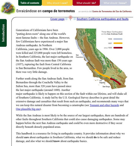
Earthquake Country Alliance: Putting Down Roots in Earthquake Country
This handbook is a resource for living in earthquake country. It provides information about why we should care about earthquakes in Southern California, what we should do to be safe and reduce damage, and also what we should know about...
Other
University of Wisconsin Green Bay: Faults and Earthquakes
This site is primarily set up as an outline and is loaded with graphs, maps, and images. It covers a variety of earthquake-related topics, such as what causes earthquakes, fault lines and structures, seismology, a historical look at...
Museum of the City of San Francisco
Vmcsf: San Francisco Earthquakes
This resource provides a list of links to information related to earthquake damage and effects in the California area.
Library of Congress
Loc: America's Story: San Francisco Earthquake
The 1906 earthquake in San Fransisco nearly wipes out the city. Read and view footage and information of this catastrophic event.
American Geosciences Institute
American Geosciences Institute: Earth Science Week: Geologic Maps & Earthquakes
This activity is designed to give students practice using a geologic map to assess the likelihood and location of a particular natural hazard- earthquakes- in California.
University of Southern California
University of Southern California:tsunami Research Group
This site provides a world map of locations of past tsunamis, some video/animations of tsunamis, and a list of additional links to related topics.
CommonLit
Common Lit: Reports From the Ruins of the San Francisco Earthquake of 1906
A learning module that begins with "Reports from the Ruins of the San Francisco Earthquake of 1906," accompanied by guided reading questions, assessment questions, and discussion questions. The text can be printed as a PDF or assigned...
California Institute of Technology
Scec: Significant Earthquakes and Faults
An interactive map of significant earthquakes and faults in southern California. Click on each earthquake icon, and see a brief overview of each event.
Science Buddies
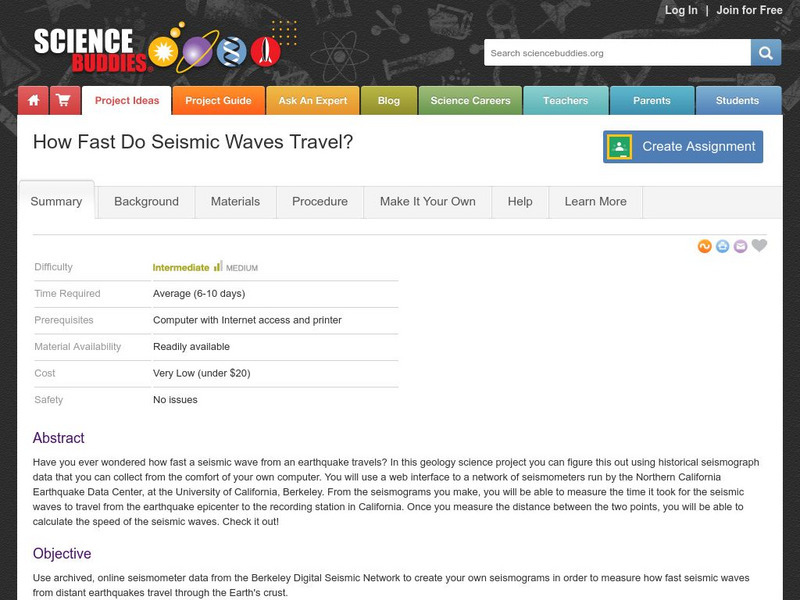
Science Buddies: How Fast Do Seismic Waves Travel?
Here's a geology project that uses historical seismograph data that you can collect from the comfort of your own computer. You'll use a web interface to a network of seismometers run by the Northern California Earthquake Data Center, at...
University of California
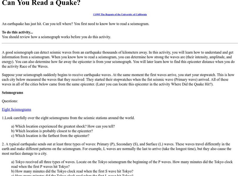
U. Of California Berkeley: Can You Read a Quake?
Eight seismograms and instructions are provided to assist in the learning of how to locate the epicenter of an earthquake.
Library of Congress
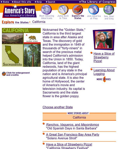
Loc: America's Story: California
What is happening in the "Golden State." Look for new and exciting things going on in California at this site. How big was the crack in the earth after the 1906 earthquake?
Other
Earth Waves: Our Changing Planet
A compilation of information from volunteers on earthquakes and earthquake prediction. Includes a lot of information on quakes in the California area plus some nice maps.
Society for Science and the Public
Science News for Students: Big Rocks' Balancing Acts
Discusses research on balanced rock formations in California, which scientists believe can show information about severe earthquakes in the past, and whether certain areas are prone to them. [October 19, 2011]
Science Education Resource Center at Carleton College
Serc: Bot Ec: The San Andreas Fault's Rate of Movement
The San Andrea is an active fault zone, marked by frequent earthquake activity. The crust southwest of this strike-slip fault (including Los Angeles) is sliding to the northwest relative to the other side. It is possible to estimate the...
Exploratorium
Exploratorium: On the Road With the Faultline Project
This outstanding multimedia website follows the San Andreas fault system up the California coast from San Diego to just north of San Francisco on the coast.
Other
Everytrail: Trail Map of San Andreas Fault Trail Exploration
Use this map on the San Andreas Fault by following lines of posts that mark the various fault breaks in the Los Trancos Open Space Preserve. The trail takes hikers to see some of the effects of earthquakes in this otherwise tranquil...
Wikimedia
Wikipedia: Pacific Ring of Fire
Wikipedia offers information on the location of the Pacific Ring of Fire, an area of frequent earthquakes and volcanic eruptions. Map included.
Curated OER
Wikipedia: National Historic Landmarks in California: James C. Flood Mansion
Mansion of James C. Flood, 19th century silver-baron; first brownstone building built west of the Mississippi River; one of the only buildings on Nob Hill to survive the 1906 San Francisco earthquake and fire; purchased by the...
Curated OER
Wikipedia: National Historic Landmarks in California: Old United States Mint
Built for the San Francisco Mint in 1874 to handle the overflow from the California Gold Rush, this building is affectionately as The Granite Lady. It is one of the few that survivors of the great 1906 San Francisco earthquake and served...
University of California
University of California, Berkeley: Civil and Environmental Engineering
This resource provides information about civil and environmental engineering.
Curated OER
Wikipedia: National Historic Landmarks in Ca: Mission San Miguel Arcangel
The 16th California Mission church remains well preserved and still in use today though under earthquake remediation construction. Inside are murals by Esteban Munras.
Incorporated Research Institutions for Seismology
Iris: Exploring the Earth Using Seismology
Earthquakes create seismic waves that travel through the Earth. By analyzing these seismic waves, seismologists can explore the Earth's deep interior. This fact sheet uses data from the 1994 magnitude 6.9 earthquake near Northridge,...


