Curated OER
Lesson 6: Native Americans in the West
Students recall their knowledge of Native American people who lived in the West and reflect on how their perspectives differed from pioneers and argonauts of the 19th century.
Curated OER
Water World
Young scholars explore the various steps of the water cycle. They identify the three steps in the water cycle and how they are related. Students describe three ways to conserve water. Young scholars explore the origin of the water...
Curated OER
Spanish Colonization: The Anza Expedition
Students research the Spanish explorations and North American geography. They create web pages based on their study.
Curated OER
The Legend of the Indian Paintbrush: Native American Life
Students read," The Legend of the Indian Paintbrush" by Tomie dePaola and discuss the way legends are passed down orally. They then create their own legend and illustrate it on a simulated "Buffalo Skin" made from brown paper.
Other
California Regional Weather Server: Jet Stream Analyses and Forecasts
California Regional Weather Service provides the latest jet stream analyses and forecasts for the Northern Hemisphere, Eastern Pacific & Western North America, North America, North Atlantic, and the Southern Hemisphere.
Harvard University
Harvard Univ.: Immigration to Us, 1789 1930: California Gold Rush (1848 1858)
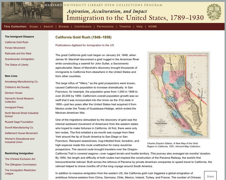
Describes the California Gold Rush and the impact it had on immigration to the United States and to the future demographics of California. Includes a high-resolution map of the gold region of California in 1851.
Other
Ecological Regions of North America [Pdf]
A helpful map of North America which color codes its 15 ecological regions. Click on the different regions for a brief description of the area. Requires Adobe Reader. [PDF]
Curated OER
Educational Technology Clearinghouse: Maps Etc: Bear Valley Region, 1911
A map of a portion of the San Bernardino Mountains near Big Bear Lake in 1911. The map is based on the USGS San Gorgonio quadrangle, with contour intervals of 500 feet. "Bear Valley and the adjacent country exhibit the subdued relief...
Curated OER
Educational Technology Clearinghouse: Maps Etc: Natural Regions of Asia, 1920
A map from 1920 of Asia showing principal physical features and natural regions. The map is color-coded to show lands below sea level, lowlands, uplands and plateaus, the older, worn down mountains, and younger, rugged mountains. The map...
Curated OER
Educational Technology Clearinghouse: Maps Etc: Rainfall in North America, 1898
A map from 1898 of North America, Central America, Greenland, and the Caribbean to Puerto Rico showing the general distribution of rainfall in the region. The map shows areas of little or no rainfall to areas of heavy rainfall. The map...
Curated OER
Educational Technology Clearinghouse: Maps Etc: North America, 1783
A map of North America, Central America, and northern South America at the end of the American Revolutionary War (1783). The map is color-coded to show the territory of the United States at the time, British possessions in Canada,...
A&E Television
History.com: The States
Learn unique facts about each American state. You can also read a more in-depth history of each state, watch videos and play a game about all the states.


![Ecological Regions of North America [Pdf] Handout Ecological Regions of North America [Pdf] Handout](https://d15y2dacu3jp90.cloudfront.net/images/attachment_defaults/resource/large/FPO-knovation.png)
