Curated OER
Canada Geography PowerPoint
Students create a PowerPoint about Canadian geography or history. In this Canada lesson plan, students spend two days researching their Canadian topic in the library and online. They create a PowerPoint presentation and add pictures...
Curated OER
Canada: A Land Rich in Beauty and Culture
Third graders in groups research the different regions of Canada. They create a timeline to put the major events of Canada's history in order.
Curated OER
The United States and Canada: Climate and Vegetation
Display U.S. and Canadian climate and vegetation through this text-companion worksheet. Learners read about the geography of these regions, take notes, and answer 3 comprehension questions as they read the selection. A graphic organizer...
Curated OER
Introduction to Canada’s Landform Regions
In this geography skills worksheet, students examine a map of Canada and then respond to 4 short answer questions about Canadian landforms.
Curated OER
Landforms and Resources of the United States and Canada
For this North American geography worksheet, students read about the physical features and resources of the United States and Canada. Students take notes and answer 3 short answer comprehension questions as they read the selection.
Curated OER
Canada, Our Neighbor to the North
Students obtain knowledge of Canadian geography and history. Students work in groups gathering information to create a brochure on Canada. Students discover how French and British history helped shape Canada as a nation.
Curated OER
Canada's Landform Regions
Students identify and describe the processes that created the landform regions in Canada. They map the regions and research one region to discover more about it. They present their findings to the class.
Curated OER
Canada's Landform Regions
Young scholars use a atlas to identify and describe Canada's Landform region. Using the information they collect, they create a thematic map of the region and describe all of the physiographic regions and the processes that formed them....
Curated OER
Getting to the Core of World and State Geography
Students create topography relief maps. In this geography skills lesson, students review geography core knowledge skills, design and make a state relief map, and compile a student atlas.
Curated OER
European Explorers of North and South America
Sixth graders explore the connection between the geography of America and the migration of the Native Americans to the American continents to the future conquering of the continents by the Europeans. They discuss the causes and effects...
Curated OER
North America Puzzle
In this geography worksheet, learners complete a crossword puzzle in reference to North America. They identify capitals of some countries, the specific landforms of different areas, and languages spoken. There are 21 clues to solving the...
Other
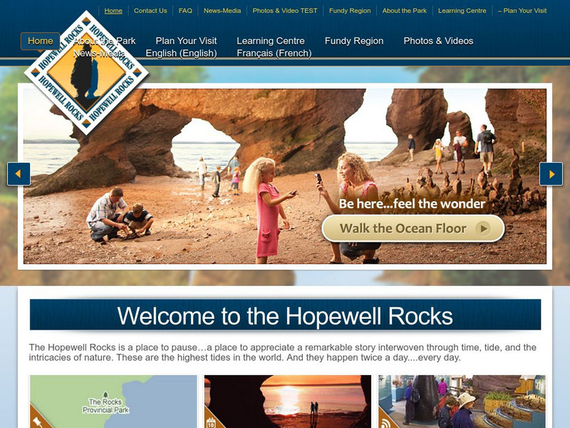
Hopewell Rocks 360 Degrees Panorama
Take a panoramic tour of the famous Hopewell Rocks. Explore the ocean floor and the rock formations. Be careful! When the tides come in the water rises to a height of a four story building.
Other
Hopewell Rocks Photo Gallery
View this stunning collection of images showcasing Hopewell Rocks and the famous Flowerpot Rocks located in the Bay of Fundy.
Other
Hopewell Rocks Video
Visit the magnificent Hopewell Rocks and view the famous Flowerpot Rocks. See time lapse photography of the tides of the Bay of Fundy at both low and high tide. Video length 2:07


