Curated OER
First You Take an Ecumene
Although this was written regarding Canadian agriculture, it can be used in any agriculture or environmental science class. Learners evaluate agricultural and economic activity maps and consider land use competition. Activities that get...
Curated OER
Canada: A Land Rich in Beauty and Culture
Third graders in groups research the different regions of Canada. They create a timeline to put the major events of Canada's history in order.
Curated OER
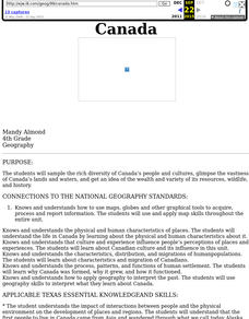
Canada
Fourth graders sample the rich diversity of Canada's people and cultures, glimpse the vastness of Canada's lands and waters, and get an idea of the wealth and variety of its resources, wildlife, and history.
Curated OER
Canada's Landform Regions
Students identify and describe the processes that created the landform regions in Canada. They map the regions and research one region to discover more about it. They present their findings to the class.
Curated OER
Canada's Landform Regions
Students use a atlas to identify and describe Canada's Landform region. Using the information they collect, they create a thematic map of the region and describe all of the physiographic regions and the processes that formed them. They...
Curated OER
Canada's Geographic Position
Ninth graders investigate the characteristics of the geographic position of Quebec and Canada in the World. They study Canada's land and water boundaries, surface area and time zones.
Curated OER
Some Like it Cold: Canada's Northern Communities
Fifth graders examine cultures close to the arctic circle. In this geography lesson, 5th graders consider the impact of climate on cultural development of arctic communities. Students research a given community and present their findings...
Curated OER
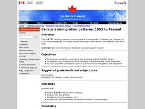
Canada's Immigration patterns: 1950 to Present
Students examine the changing immigration pattern of Canada. In this immigration lesson, students use statistical data from a web-site to complete a worksheet and graph their findings.
Curated OER
Canadian Conoe Trip
Sixth graders research Canadian geography - the land and the bodies of water. They then plan an imaginary canoe trip through six major water bodies in Canada. They conclude the unit of study with a creative story.
Curated OER
This Rich Land
Students examine the geography of different treaty areas in order to see what it was that made these areas valuable to Europeans and Aboriginal peoples. They look at the treaties to see how these resources are dealt with, or how they...
Curated OER
The Arctic and Taiga Ecozone of Canada
Students discover the differences in the Arctic and Taiga regions of Canada. They identify physical and human characteristics of both region. They also practice using an atlas.
Curated OER
The Arctic and Taiga Ecozone of Canada
Students examine the various sub-regions of the Arctic and Taiga zones in Canada. Using the online Canadian Atlas, they locate and describe the characteristics of each zone. They organize their information into a chart and share it with...
Curated OER
Alberta And Saskatchwan: the View in 1905
Students analyze the differences between maps 1905 and current maps of Alberta and Saskatchewan. They use maps from the Canadian Council for Geographic Education to complete a guided inquiry. This lesson also has many extension activities.
Curated OER
Aboriginal Societies of Canada
Fourth graders study Aboriginal Societies in Canada and do an oral presentation to the class.
Curated OER
Comparing Neighbors
Students compare and contrast Minnesota to its Canadian neighbors. In this geography lesson, students work in groups to examine a map for their political division to Minnesota. Students compare and contrast information about Minnesota to...
Curated OER
Canada's Climate: Temperature and Rainfall Variations
Students analyze data about various climates in Canada. In this data analysis and climate lesson, students use Canada Year Book 1999 to complete a worksheet and make connections between precipitation and temperature in different climates.
Curated OER
Historical Research on Explorers of Canada
Eighth graders navigate an online Atlas of Canada to research an explorer. They examine the areas that were explored.
Curated OER
Driving Forces Forestry In Canada
Students discuss the natural and economic impact of forests and forestry. Using given statistics they construct different types of graphs in which they make observations and draw conclusions.
Curated OER
Canada's Forests and Resource Management
Students are introduced to the Canadian forest industry so that they may assess the economic and environmental sustainability of the industry.
Curated OER
Mapping My Community
Ninth graders are introduced to GPS technology. They complete fieldwork as they visit a specific area of their community to identify and map types of land use in the surveyed area. They use the collected data to create a digital map.
Curated OER
Physical Location; How a Border Town Might Develop
Students speculate how a location can develop into a large town. They investigate the physical resources and how populations can grow. There are guiding questions to help students through the research and class discussion. Students make...
Curated OER
Solid Waste in Canada
Students develop an understanding of waste and its effects. In this managing waste lesson students participate in one of a few activities including creating a poster, summarizing an article or writing a research paper.
Curated OER
Nunavut, Our Communities
Students locate the communities of Nanavut on a territorial map and identify community characteristics. They research the online Atlas of Canada


