Curated OER
Exploring Canadian Heritage
Middle schoolers use the online Atlas as a research tool to find information on national parks and world heritage sites.
Curated OER
Math Hunt: Extreme Weather
Learners investigate integrals. In this math lesson, students relate real world situation to investing. They may visit a local business to do this assignment.
Curated OER
Social Studies: Canadian City Comparison
Learners research Canadian population distribution while comparing and contrasting the quality of life in two cities. They discuss issues and problems that cities and rural towns face. Students apply various methods, such as graphs and...
Curated OER
Life on the Border
High schoolers discuss different types of boundaries. They research the United States/Mexico border and answer questions about their findings. They create collages, posters, or multimedia presentations showcasing various areas of concern...
Lizard Point Quizzes
Lizard Point: Canada: Bodies of Water Quiz Level 1
Try this interactive geography quiz which tests your knowledge about the bodies of water in Canada.
Lizard Point Quizzes
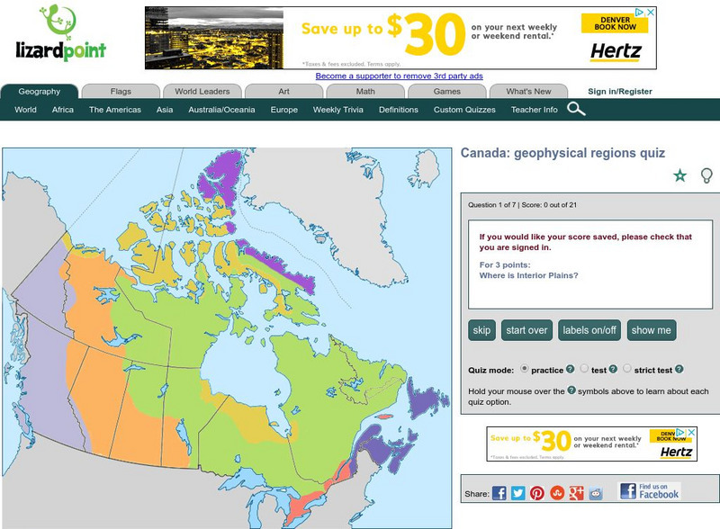
Lizard Point: Canada: Geophysical Regions Quiz
Try this interactive geography quiz which tests your knowledge about the geophysical regions of Canada.
Lizard Point Quizzes
Lizard Point: Canada: Rivers
Test your geography knowledge by taking this interactive quiz over the rivers in Canada.
Lizard Point Quizzes
Lizard Point: Canada: Provincial Capitals Quiz
Try this interactive geography quiz which tests your knowledge about the provincial capitals of Canada.
Other
Centre for Topographic Information: Map Scale
This resource uses illustrations to demonstrate scale. Check out the links to the The National Topographic System of Canada and the Aerial Survey Data Base.


