Science Struck
Science Struck: List of European Capital Cities With Countries
Discusses the geography of Europe and presents a table of 51 European countries and their capitals and a second table of 12 autonomous regions and their capitals.
Soft Schools
Soft Schools: Europe Countries and Capitals Quizzes
Choose from four interactive quizzes, and test your geography knowledge of European countries and their capitals.
Ducksters
Ducksters: Geography Games: Capital Cities of Europe
Play this fun geography map game to learn about the capital cites of the countries of Europe.
Science Struck
Science Struck: A to Z List of European Countries and Their Capitals
Presents a map and an alphabetical list of all the European countries and their capital cities.
ClassFlow
Class Flow: European Capitals Quiz
[Free Registration/Login Required] Using the Activote system, students will look at a map of Europe to identify the country and then select that country's capital city. There are 28 questions.
Lonely Planet
Map of Scotland
This is a map of Scotland. It is in full color and has all major cities located on it. You can click on the map for information on Scotland.
Curated OER
Educational Technology Clearinghouse: Maps Etc: Europe, 1648
A Map of Europe in 1648. Map is color-coded to differentiate between the various countries and includes capital cities and major rivers.
Curated OER
Educational Technology Clearinghouse: Maps Etc: Europe, Post Wwi, 1920
Map of Central and Western Europe after the Treaty of Versailles at the end of WWI. The map includes railroads, canals, shipping routes, major cities and capitals, and the country boundaries established by the Treaties of Versailles,...
Curated OER
Educational Technology Clearinghouse: Maps Etc: Europe, 1901
A map from 1901 of Europe, showing the political boundaries at the time, capitals and other major cities, mountain and terrain features, lakes, rivers ,islands, and coastal features of the region. The physical division between Europe and...
Curated OER
Educational Technology Clearinghouse: Maps Etc: Napoleonic Europe, 1799 1815
A map of Europe during the time of Napoleon I, showing kingdoms and grand duchies, territorial and sea borders, major rivers, major cities, and capitals.
Curated OER
Educational Technology Clearinghouse: Maps Etc: Europe and Western Asia, 1883
A map from 1883 of Europe and western Asia showing country borders and capitals, principal cities, mountain systems, and rivers.
Curated OER
Educational Technology Clearinghouse: Maps Etc: Central and Western Europe, 1920
Map of Central and Western Europe after the Treaty of Versailles at the end of WWI. The map includes railroads, canals, major cities and capitals, and the country boundaries established by the Treaties of Versailles, proposed boundaries...
Curated OER
Etc: Maps Etc: Political Boundaries in Europe, 1920
Map of Central and Western Europe after the Treaty of Versailles at the end of WWI. The map includes railroads, canals, shipping routes, major cities and capitals, and the country boundaries established by the Treaties of Versailles,...
Curated OER
Educational Technology Clearinghouse: Maps Etc: Europe, 1920
Map of Central and Western Europe after the Treaty of Versailles at the end of WWI. The map includes railroads, canals, shipping routes, major cities and capitals, and the country boundaries established by the Treaties of Versailles,...
Curated OER
Unesco: Germany: Hanseatic City of Lubeck
Lubeck - the former capital and Queen City of the Hanseatic League - was founded in the 12th century and prospered until the 16th century as the major trading centre for northern Europe. It has remained a centre for maritime commerce to...
Curated OER
Etc: Clip Art Etc: The City of Constantinople (Byzantium)
Byzantine Constantinople had been the capital of a Christian empire, see Christendom, successor to ancient Greece and Rome. Throughout the Middle Ages Constantinople was Europe's largest and wealthiest city, known as the Queen of Cities...
World Atlas
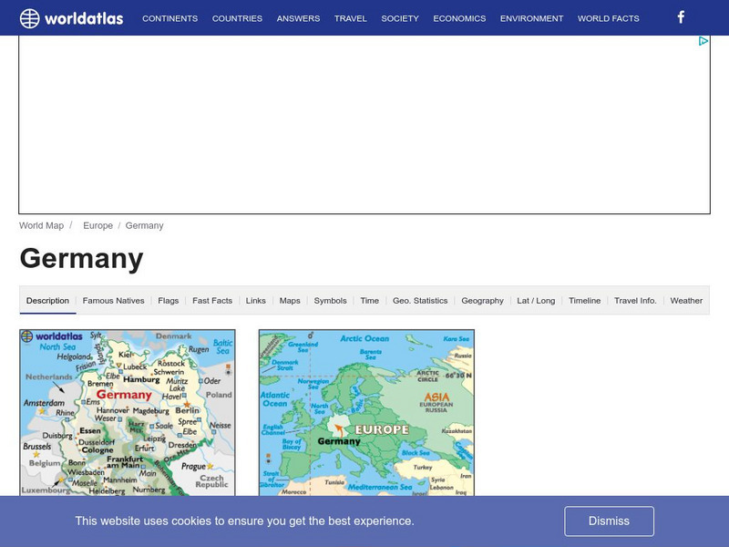
World Atlas: Germany
WorldAtlas.com looks at Germany, including quick facts and figures and many maps.
Curated OER
Etc: Maps Etc: Africa Before the Berlin Conference, 1882
A map of Africa as it was known in 1882 before the Berlin Conference of 1885, when the most powerful countries in Europe at the time convened to make their territorial claims on Africa and establish their colonial borders at the start of...
Curated OER
Educational Technology Clearinghouse: Maps Etc: Asia, 1899
A map of Asia from 1899 showing country boundaries at the time, foreign possessions, capitals and major cities, rivers, canals, lakes, deserts, terrain, and coastal features. This map shows the principal railways and caravan routes of...
Curated OER
Educational Technology Clearinghouse: Maps Etc: South America, 1898
A map of South America in 1898. The map shows capitals and major cities, railroads, terrain, rivers, and coastal features, and includes an insert map of the Isthmus of Panama. "The chief industries in South America are herding,...
Curated OER
Etc: Maps Etc: Commercial Map of the United States, 1872
A commercial map from 1872 of the United States showing the principal railroad and steamship routes in the region at the time. The map shows state boundaries and capitals, major cities and ports, submarine telegraph cables to Europe,...


