Smithsonian Institution
The Sounds of an Island: Jamaican Music for the Classroom
Introduce young explorers to the music and history of Jamaican culture through game songs and dances. As a bonus, class members get to play simple songs transcribed for the recorder.
Curated OER
Populations in the Path of Natural Hazards
Students read "Geographical Mobility: 1995-2000." They examine the maps in the handouts and compare them with maps from an atlas. In the second part of this lesson, students read "In Harm's Way." They receive three more handouts, one a...
Curated OER
Seas, Gulfs and Bays
Students define gulf, bay, and sea. In this bodies of water mapping lesson, students locate seas, gulfs and bays and explain how they knew which body of water it was.
Curated OER
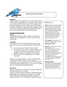
Island Culture: Puerto Rico
Students explore the culture of Puerto Rico. They create maps of Puerto Rico and the Caribbean. They work in small groups to research a decade in history and add drawings and pictures to a timeline of their decade. They practice...
Curated OER
What and Where is Puerto Rico?
Students explore Puerto Rico. They create K-W-L charts of their prior knowledge of Puerto Rico and observe maps of Puerto Rico. They code the map for measurements and land and water forms. They explore websites to gain background on...
Curated OER
Rooster's Night Out
First graders complete interdisciplinary activities associated with a folktale from Cuba. In this Cuban folktale instructional activity, 1st graders read the Rooster's Night Out, before completing comprehension worksheets, make recipes,...
Curated OER
The Commonwealth - Members and Structure
Students research the member countries that make up the Commonwealth. They develop research skills using atlases. They define the word community. They complete an online geography quiz.
Curated OER
Follow That Ship!
Students in this exercise are introduced to the distinct ways of measuring distance (nautical miles) and speed (knots) at sea, as well as the concepts of latitude and longitude for establishing location.
Curated OER
Regions of the US: Gulf Stream, States and Their Capitals
Fifth graders identify one way of dividing the US into geographical regions and then consider alternate ways of doing the same. They locate each of the fifty states and their capitals on a map. They research the Gulf Stream region.
Curated OER
Drake’s West Indian Voyage 1588-1589
Students examine the exploration routes of Sir Francis Drake. In this American exploration activity, students investigate primary sources to trace the routes and contact with the natives that Sir Francis Drake experienced on his voyages...
Curated OER
Where In the World is the Dominican Republic?
Students begin the lesson plan by discussing how where they live affects how they live. As a class, they add examples to each category such as home types, clothing, jobs and food. Using those categories, they write about their life in...
Curated OER
To Be Or Not To Be a State? That Is the Question
Eighth graders research Puerto Rico's culture, religion, language, government, etc. and identify differences and similarities with the United States. They participate in a debate about whether or not Puerto Rico should become a state.
Curated OER
Imperialism and Expansion: Part 1
Students explore the era of imperialism and expansion of the United States. In this American history lesson, students play a game regarding the U.S. attempts to expand the nation in the late 1800s and early 1900s.
Curated OER
The Sugar Cane Curtain/ Defining Political and Social Struggles Between Haiti and the Dominican Republic
Twelfth graders explore historical events that created conflict between Dominican Republic and Haiti, examine how need for cheap source of labor has led to exploitation of Haitian workers, and discuss how topography of island of...
Curated OER
The Log Book of a Connecticut Slave Trade Ship
Seventh graders investigate the slave trade. In this Middle Passage instructional activity, 7th graders read excerpts of ship logs from Connecticut Slave Trade ships. Students respond to the provided analysis questions based on the...
Curated OER
Foods and Languages of the World
Students create their own ice cream sundae given various toppings from around the world. In this foods and languages of the world diversity instructional activity, students develop an understanding of diversity in culture, family...
Lizard Point Quizzes
Lizard Point: Caribbean Independent Countries Quiz
Try this interactive geography quiz which tests your knowledge about the independent countries of the Caribbean.
Lizard Point Quizzes
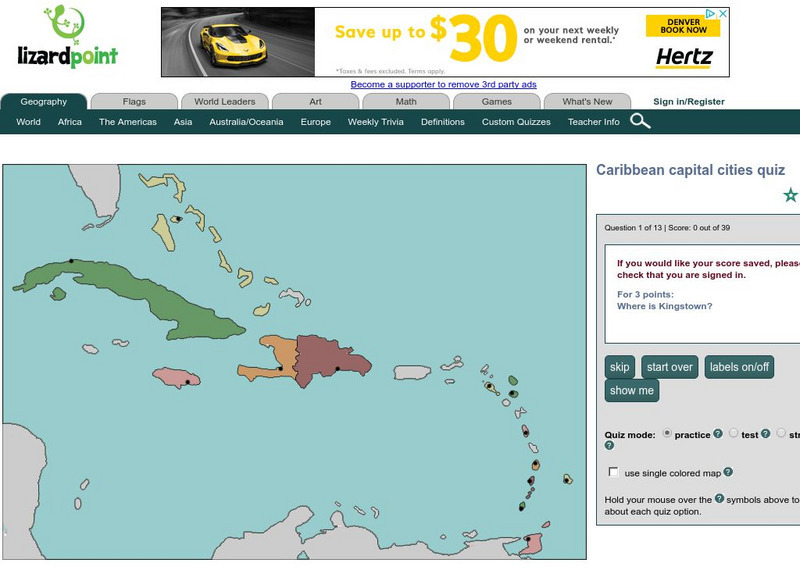
Lizard Point: Caribbean Capital Cities Quiz
Test your geography knowledge by taking this interactive quiz over the capital cities of the Caribbean Island countries.
Lizard Point Quizzes
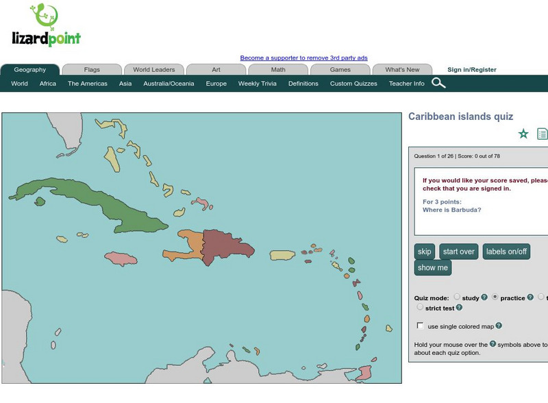
Lizard Point: Caribbean Islands Quiz
Test your geography knowledge by taking this interactive quiz over the Caribbean Islands.
World Facts US
World Facts: Geography of Colombia
Great resource for gathering comprehensive information on the geography of Colombia which is divided into four geographic regions: Andean Highlands, Caribbean Lowlands, Pacific Lowlands, and Eastern Colombia. Also delves into the climate...
ClassFlow
Class Flow: The United States Virgin Islands America's Caribbean
[Free Registration/Login Required] This flipchart introduces the major islands of the United States Virgin Islands. It also introduces calypso music, symbols, and maps.
Ducksters
Ducksters: Geography for Kids: Central America and the Caribbean
On this site, study the geography of the countries of Central America and the Caribbean. Facts such as flags, maps, exports, natural resources, and languages.
Geographyiq
Geography Iq: Jamaica
Read about Jamaica's economy, government, history, or people either as a quick fact or more expanded version at this very comprehensive site.
Hans Lohninger
Photo Globe: Belize
Provides many general country facts and statistics about Belize in a well organized chart form. This site is enriched by links to maps and an image of its flag.


