American Museum of Natural History
Volcanoes Magma Rising
Get ready for an explosive lesson! Learners read and interact with an online lesson describing the characteristics of volcanoes. They study specific historical volcanoes as well as the science of volcanic eruptions using animations and...
Curated OER
Reading Comprehension Worksheet: Volcano
In this reading comprehension worksheet, students read a short passage on volcanoes erupting and then answer 4 reading comprehension questions.
It's About Time
Volcanic Hazards: Flows
Did you know the largest volcano in our solar system is on Mars? Young scholars measure and experiment with how to predict lava and mud flows. This knowledge leads to better evacuation, safety, and preventative methods.
Curated OER
Following Instructions
Designed to assess your class's ability to follow directions, this reading activity has learners split into groups, read a series of instructions, read a passage, and answer two lists of questions. Can they remember to raise their hand...
Curated OER
The Rain Forest of Costa Rica
Fifth graders examine and discuss the topography, climate, natural resources and artwork of Costa Rica. They develop a diagram of the layers of the rain forest, and design a tourist brochure or advertisement promoting Costa Rica's...
Other
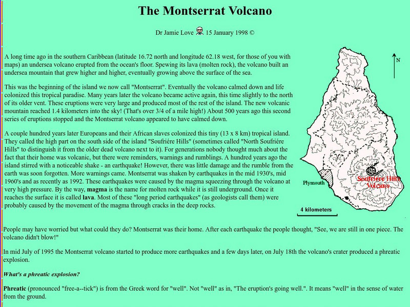
Science Explained: Montserrat Volcano
Read an illustrated description of how an undersea volcanic eruption formed the Caribbean island of Montserrat. Includes a lengthy description of volcanic processes and defines many volcanic terms, such as lahar, tephra, and pyroclastic...
InterKnowledge Corp.
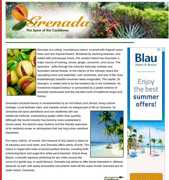
Geographia.com: Grenada
Featured is the official online tour guide from Geographia.com of the island of Grenada in the Caribbean. Learn about the geography, history and tourist attractions of these volcanic islands.
Curated OER
Educational Technology Clearinghouse: Maps Etc: North America, 1868
A map from 1868 of North America, Central America, and the Caribbean showing the physical features of the region, vegetation types, ocean currents, temperatures, principal products and mineral deposits. Mountain chains are represented by...
Curated OER
Educational Technology Clearinghouse: Maps Etc: South America (Physical), 1901
A map from 1901 of South America showing the physical features of the region. This map is color-coded to show general elevations from sea level to over 6,500 feet, mountain systems, drainage divides, lakes, rivers, coastal features, and...
Curated OER
Etc: Maps Etc: Physical Map of South America, 1910
A physical map from 1910 of South America showing color-contoured land elevations and water depths. Elevations range from sea level to over 6,500 feet, and water depths range from sea level to below 13,000 feet. This map shows the...
Curated OER
Etc: Maps Etc: Physical Map of South America, 1901
A map from 1901 of South America showing the general physical features including mountain systems, prominent peaks and volcanoes, river and lake systems, plateaus, and coastal features. The map is color-coded with the highlands above...
Curated OER
Etc: Maps Etc: Physical Map of South America, 1902
A map from 1902 of South America showing the general physical features including mountain systems, prominent peaks and volcanoes, river and lake systems, plateaus, and coastal features. The map is color-coded with the highlands above...


