Science Education Resource Center at Carleton College
Serc: Topographical Maps, Contour Lines and Profiles
In this mapping field lab middle schoolers determine the elevation of a given object in a designated area on the school campus using cartography tools. Then they use of these tools to create a contour map of the area.
PBS
Kamchatka: Bering Island
PBS television has aired "Kamchatka: Siberia's Forbidden Wilderness" and this website summarizes that film. In it explores Bering Island, which was discovered by Vitus Bering who died there in 1741. It details the week long events of...
TeachEngineering
Teach Engineering: What Is Gis?
Geographic information systems (GIS) are important technology that allows rapid study and use of spatial information. GIS have become increasingly prevalent in industry and the consumer/internet world in the last 20 years. Historically,...
TeachEngineering
Teach Engineering: Projections and Coordinates: Turning a 3 D Earth Into Flatlands
Projections and coordinates are key advancements in the geographic sciences that allow us to better understand the nature of the Earth and how to describe location. These innovations in describing the Earth are the basis for everything...
Annenberg Foundation
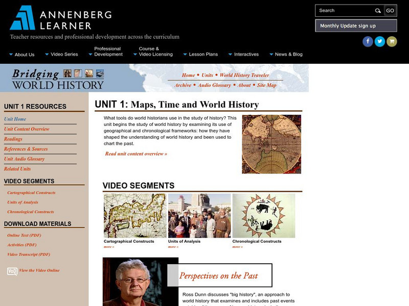
Annenberg Learner: Bridging World History: Maps, Time, and World History
Learn how map projections and chronological constructs are used in the study of world history and help us to understand and interpret the past. Part of a larger site on world history, this unit on maps offers complete reading,...
American Geosciences Institute
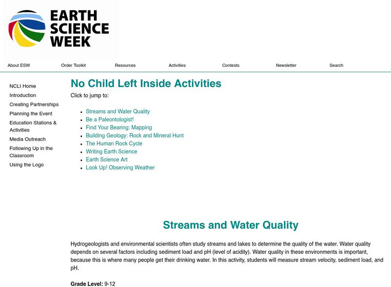
American Geosciences Institute: Earth Science Week: Find Your Bearing: Mapping
In this exercise, students use compasses to make a map of the school's campus.
Other popular searches
- Cartography Lessons
- Cartography Color
- Cartography Geology
- Web Cartography
- Cartography (Maps
- Cartography and Mathematics
- Cartography Sociology
- Cartography Lesson Plans
- Cartography Celestial
- Cartography Sociolocial
- Cartography Australia
- History of Cartography


